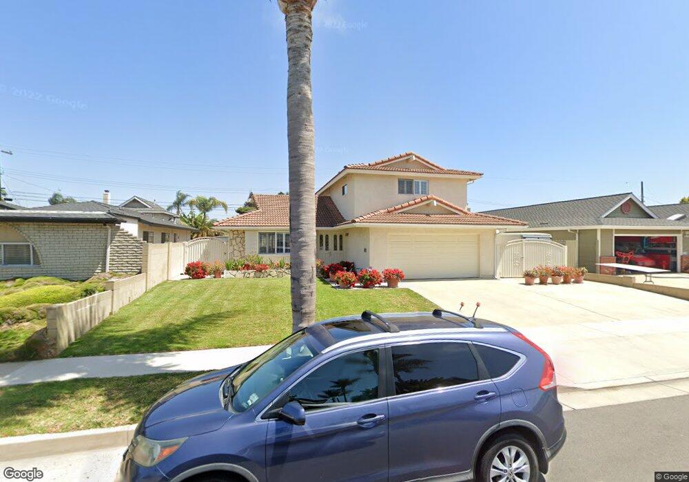
9151 Aloha Dr Huntington Beach, CA 92646
Southeast NeighborhoodEstimated Value: $1,553,159 - $1,986,000
3
Beds
3
Baths
1,724
Sq Ft
$998/Sq Ft
Est. Value
About This Home
This home is located at 9151 Aloha Dr, Huntington Beach, CA 92646 and is currently estimated at $1,721,040, approximately $998 per square foot. 9151 Aloha Dr is a home located in Orange County with nearby schools including John H. Eader Elementary School, Isaac L. Sowers Middle School, and Edison High School.
Ownership History
Date
Name
Owned For
Owner Type
Purchase Details
Closed on
Apr 1, 2013
Sold by
Villanyi Norbert and Murphy Eva M
Bought by
Villanyi Norbert and The Norbert Villanyi Living Trust
Current Estimated Value
Purchase Details
Closed on
May 12, 1995
Sold by
Shockley Linda K and Begley Johanna R
Bought by
Villanyi Norbert and Murphy Eva M
Home Financials for this Owner
Home Financials are based on the most recent Mortgage that was taken out on this home.
Original Mortgage
$203,150
Interest Rate
8.36%
Create a Home Valuation Report for This Property
The Home Valuation Report is an in-depth analysis detailing your home's value as well as a comparison with similar homes in the area
Home Values in the Area
Average Home Value in this Area
Purchase History
| Date | Buyer | Sale Price | Title Company |
|---|---|---|---|
| Villanyi Norbert | -- | None Available | |
| Villanyi Norbert | $255,000 | Continental Lawyers Title Co |
Source: Public Records
Mortgage History
| Date | Status | Borrower | Loan Amount |
|---|---|---|---|
| Closed | Villanyi Norbert | $203,150 |
Source: Public Records
Tax History Compared to Growth
Tax History
| Year | Tax Paid | Tax Assessment Tax Assessment Total Assessment is a certain percentage of the fair market value that is determined by local assessors to be the total taxable value of land and additions on the property. | Land | Improvement |
|---|---|---|---|---|
| 2025 | $4,944 | $428,314 | $299,859 | $128,455 |
| 2024 | $4,944 | $419,916 | $293,979 | $125,937 |
| 2023 | $4,831 | $411,683 | $288,215 | $123,468 |
| 2022 | $4,702 | $403,611 | $282,563 | $121,048 |
| 2021 | $4,615 | $395,698 | $277,023 | $118,675 |
| 2020 | $4,583 | $391,641 | $274,182 | $117,459 |
| 2019 | $4,529 | $383,962 | $268,806 | $115,156 |
| 2018 | $4,459 | $376,434 | $263,535 | $112,899 |
| 2017 | $4,398 | $369,053 | $258,367 | $110,686 |
| 2016 | $4,207 | $361,817 | $253,301 | $108,516 |
| 2015 | $4,165 | $356,383 | $249,497 | $106,886 |
| 2014 | $4,076 | $349,402 | $244,609 | $104,793 |
Source: Public Records
Map
Nearby Homes
- 9101 Aloha Dr
- 9112 Playa Dr
- 9411 Daytona Cir
- 21621 Kaneohe Ln
- 9021 Niguel Cir
- 21941 Oceanview Ln
- 9171 Regatta Dr
- 22102 Wood Island Ln
- 21722 Hilaria Cir
- 9562 Rockpoint Dr
- 9552 Castine Dr
- 21861 Vacation Ln
- 21292 Bulkhead Cir
- 21221 Hillsdale Ln
- 21361 Lemontree Ln
- 21211 Poston Ln
- 21382 Lemontree Ln
- 9695 Brookbay Cir
- 21851 Newland St Unit 7
- 21851 Newland St Unit 279