9151 Cavanaugh Ct Inver Grove Heights, MN 55076
Estimated Value: $543,000 - $643,000
4
Beds
3
Baths
2,625
Sq Ft
$218/Sq Ft
Est. Value
About This Home
This home is located at 9151 Cavanaugh Ct, Inver Grove Heights, MN 55076 and is currently estimated at $571,016, approximately $217 per square foot. 9151 Cavanaugh Ct is a home located in Dakota County with nearby schools including Pine Bend Elementary School, Inver Grove Heights Middle School, and Simley Senior High School.
Ownership History
Date
Name
Owned For
Owner Type
Purchase Details
Closed on
Aug 1, 2000
Sold by
Tollefson Land Corp
Bought by
M W Johnson Const Inc
Current Estimated Value
Purchase Details
Closed on
Jan 4, 2000
Sold by
Mw Johnson Construction
Bought by
Roberts Jean Vukas and Roberts Scott J
Create a Home Valuation Report for This Property
The Home Valuation Report is an in-depth analysis detailing your home's value as well as a comparison with similar homes in the area
Home Values in the Area
Average Home Value in this Area
Purchase History
| Date | Buyer | Sale Price | Title Company |
|---|---|---|---|
| M W Johnson Const Inc | $2,381,558 | -- | |
| Roberts Jean Vukas | $319,319 | -- |
Source: Public Records
Tax History Compared to Growth
Tax History
| Year | Tax Paid | Tax Assessment Tax Assessment Total Assessment is a certain percentage of the fair market value that is determined by local assessors to be the total taxable value of land and additions on the property. | Land | Improvement |
|---|---|---|---|---|
| 2024 | $5,690 | $499,200 | $124,800 | $374,400 |
| 2023 | $5,690 | $495,400 | $121,700 | $373,700 |
| 2022 | $4,622 | $474,700 | $121,500 | $353,200 |
| 2021 | $4,354 | $414,500 | $105,700 | $308,800 |
| 2020 | $4,262 | $385,900 | $100,600 | $285,300 |
| 2019 | $4,626 | $376,800 | $95,800 | $281,000 |
| 2018 | $4,254 | $380,100 | $91,300 | $288,800 |
| 2017 | $4,273 | $349,600 | $86,900 | $262,700 |
| 2016 | $4,262 | $342,600 | $82,800 | $259,800 |
| 2015 | $4,386 | $332,488 | $79,201 | $253,287 |
| 2014 | -- | $321,043 | $75,988 | $245,055 |
| 2013 | -- | $293,575 | $70,226 | $223,349 |
Source: Public Records
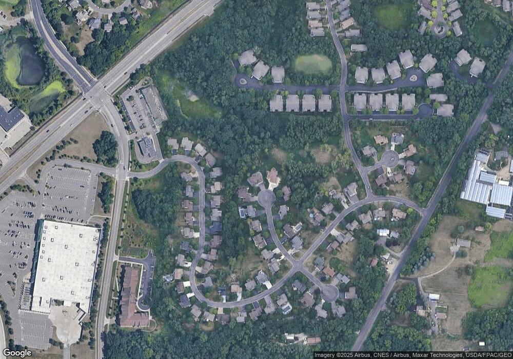
Map
Nearby Homes
- TBd Cahill Blvd Blvd
- 8827 Coffman Path
- 8770 Benson Way Unit 82
- 3853 90th St E
- 8904 Brunswick Path Unit 2104
- 8816 Brunell Way Unit 404
- 9649-9665 Cedarwood Ct
- 8590 Corcoran Path
- 8550 Corcoran Path
- 8361 Carew Ct
- 8355 Cooper Way
- 8789 Branson Dr Unit 72
- 8336 Cloman Ave
- 8124 Clifford Cir
- 8381 Corcoran Cir Unit 49
- 9350 Barnes Ave
- 3750 80th St E
- 8104 Dana Path
- 3295 80th St E Unit 508
- 8086 Dana Path
- 9150 Cavanaugh Ct
- 9155 Cavanaugh Ct
- 9154 Cavanaugh Ct
- 9159 Cavanaugh Ct
- 9277 Cheney Trail
- 9273 Cheney Trail
- 9269 Cheney Trail
- 9281 Cheney Trail
- 9160 Cavanaugh Ct
- 9165 Cavanaugh Ct
- 9265 Cheney Trail
- 9172 Cavanaugh Ct
- 9173 Cavanaugh Ct
- 9261 Cheney Trail
- 9285 Cheney Trail
- 9133 Cheney Trail
- 9147 Cheney Trail
- 9286 Cheney Trail
- 9290 Cheney Trail
- 9257 Cheney Trail