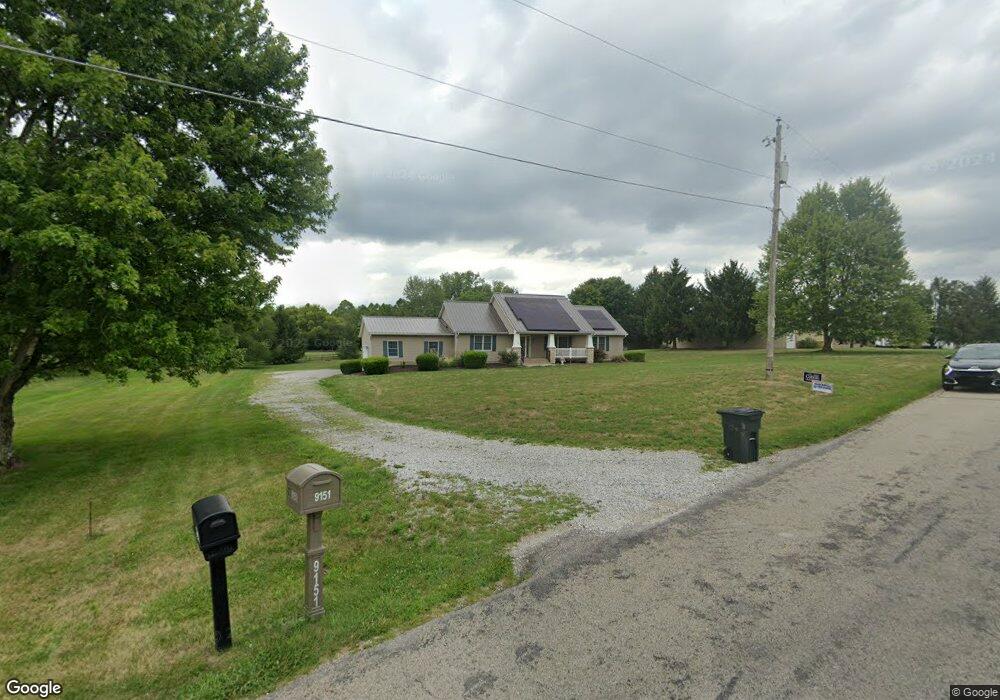
9151 Mccord Rd Orient, OH 43146
Estimated Value: $348,000 - $365,000
3
Beds
2
Baths
1,600
Sq Ft
$221/Sq Ft
Est. Value
About This Home
This home is located at 9151 Mccord Rd, Orient, OH 43146 and is currently estimated at $353,483, approximately $220 per square foot. 9151 Mccord Rd is a home located in Pickaway County.
Ownership History
Date
Name
Owned For
Owner Type
Purchase Details
Closed on
Jan 20, 2006
Sold by
Summers Thomas J and Summers Joyce M
Bought by
Mayle Christopher D and Mayle Amber N
Current Estimated Value
Home Financials for this Owner
Home Financials are based on the most recent Mortgage that was taken out on this home.
Original Mortgage
$197,000
Outstanding Balance
$107,968
Interest Rate
6.34%
Mortgage Type
Purchase Money Mortgage
Estimated Equity
$245,515
Purchase Details
Closed on
Jun 26, 2001
Sold by
Strawser James E
Bought by
Summers Thomas J and Summers Joyce M
Home Financials for this Owner
Home Financials are based on the most recent Mortgage that was taken out on this home.
Original Mortgage
$145,000
Interest Rate
7.25%
Mortgage Type
VA
Create a Home Valuation Report for This Property
The Home Valuation Report is an in-depth analysis detailing your home's value as well as a comparison with similar homes in the area
Home Values in the Area
Average Home Value in this Area
Purchase History
| Date | Buyer | Sale Price | Title Company |
|---|---|---|---|
| Mayle Christopher D | $197,000 | Valmer Land Title Agency Box | |
| Summers Thomas J | $30,000 | -- |
Source: Public Records
Mortgage History
| Date | Status | Borrower | Loan Amount |
|---|---|---|---|
| Open | Mayle Christopher D | $197,000 | |
| Previous Owner | Summers Thomas J | $145,000 |
Source: Public Records
Tax History
| Year | Tax Paid | Tax Assessment Tax Assessment Total Assessment is a certain percentage of the fair market value that is determined by local assessors to be the total taxable value of land and additions on the property. | Land | Improvement |
|---|---|---|---|---|
| 2025 | $5,200 | $100,760 | $21,810 | $78,950 |
| 2024 | $5,200 | $100,760 | $21,810 | $78,950 |
| 2023 | $3,813 | $100,760 | $21,810 | $78,950 |
| 2022 | $3,138 | $76,210 | $14,540 | $61,670 |
| 2021 | $3,148 | $76,210 | $14,540 | $61,670 |
| 2020 | $3,149 | $76,210 | $14,540 | $61,670 |
| 2019 | $2,509 | $62,650 | $13,830 | $48,820 |
| 2018 | $2,459 | $62,650 | $13,830 | $48,820 |
| 2017 | $3,189 | $60,690 | $13,830 | $46,860 |
| 2016 | $2,351 | $58,310 | $12,040 | $46,270 |
| 2015 | $2,352 | $58,310 | $12,040 | $46,270 |
| 2014 | $2,355 | $58,310 | $12,040 | $46,270 |
| 2013 | $2,557 | $60,890 | $12,040 | $48,850 |
Source: Public Records
Map
Nearby Homes
- 1520 Hiner Rd
- 1490 Hiner Rd
- 1470 Hiner Rd
- 9174 Constitution Ave
- 1319 Hiner Rd
- 1690 Lynnbrook Ct
- 302 Shady Hollow Dr
- 1800 Lynnbrook Ct
- 1736 Harvey Ln
- 6444 Autumn Blaze
- 336 Cherry Hills Rd
- 1717 London Groveport Rd
- 38 Waterman Ave
- 1439 River Trail Dr
- 326 Merion Dr
- 352 Oakmont Dr
- 341 Merion Dr
- 1352 River Trail Dr
- 444 Bethpage Blvd
- 364 Oakmont Dr
- 9115 Mccord Rd
- 9155 Mccord Rd
- 9085 Mccord Rd
- 9136 Mccord Rd
- 9096 Mccord Rd
- 9217 Mccord Rd
- 9206 Mccord Rd
- 1635 Hiner Rd
- 9040 Mccord Rd
- 9232 Mccord Rd
- 1585 Hiner Rd
- 5820 Mattox Cir
- 5800 Mattox Cir
- 5830 Mattox Cir
- 5810 Mattox Cir Unit 328
- 5790 Mattox Cir
- 5790 Mattox Cir Unit 330
- 5840 Mattox Cir
- 1557 Hiner Rd
- 9317 Mccord Rd
Your Personal Tour Guide
Ask me questions while you tour the home.