9152 W Broad St Unit 9154 Galloway, OH 43119
Estimated Value: $266,000 - $357,000
3
Beds
1
Bath
1,337
Sq Ft
$229/Sq Ft
Est. Value
About This Home
This home is located at 9152 W Broad St Unit 9154, Galloway, OH 43119 and is currently estimated at $305,814, approximately $228 per square foot. 9152 W Broad St Unit 9154 is a home located in Madison County with nearby schools including Norwood Elementary School, West Jefferson Middle School, and West Jefferson High School.
Ownership History
Date
Name
Owned For
Owner Type
Purchase Details
Closed on
Jan 14, 2022
Sold by
Richard Waldron Jason
Bought by
Bedeshko Viktor
Current Estimated Value
Purchase Details
Closed on
Dec 11, 2018
Sold by
Todd Dennis and Todd Winona
Bought by
Waldron Jason Richard
Home Financials for this Owner
Home Financials are based on the most recent Mortgage that was taken out on this home.
Original Mortgage
$121,500
Interest Rate
7.75%
Mortgage Type
Adjustable Rate Mortgage/ARM
Create a Home Valuation Report for This Property
The Home Valuation Report is an in-depth analysis detailing your home's value as well as a comparison with similar homes in the area
Home Values in the Area
Average Home Value in this Area
Purchase History
| Date | Buyer | Sale Price | Title Company |
|---|---|---|---|
| Bedeshko Viktor | -- | New Title Company Name | |
| Waldron Jason Richard | $135,000 | First Ohio Title |
Source: Public Records
Mortgage History
| Date | Status | Borrower | Loan Amount |
|---|---|---|---|
| Previous Owner | Waldron Jason Richard | $121,500 |
Source: Public Records
Tax History Compared to Growth
Tax History
| Year | Tax Paid | Tax Assessment Tax Assessment Total Assessment is a certain percentage of the fair market value that is determined by local assessors to be the total taxable value of land and additions on the property. | Land | Improvement |
|---|---|---|---|---|
| 2024 | $3,680 | $82,450 | $18,190 | $64,260 |
| 2023 | $3,680 | $82,450 | $18,190 | $64,260 |
| 2022 | $2,974 | $62,060 | $13,400 | $48,660 |
| 2021 | $2,986 | $62,060 | $13,400 | $48,660 |
| 2020 | $3,039 | $62,060 | $13,400 | $48,660 |
| 2019 | $2,506 | $50,450 | $15,670 | $34,780 |
| 2018 | $2,377 | $50,450 | $15,670 | $34,780 |
| 2017 | $2,217 | $50,450 | $15,670 | $34,780 |
| 2016 | $2,217 | $46,030 | $15,670 | $30,360 |
| 2015 | $2,313 | $46,030 | $15,670 | $30,360 |
| 2014 | $2,313 | $46,030 | $15,670 | $30,360 |
| 2013 | -- | $48,920 | $13,000 | $35,920 |
Source: Public Records
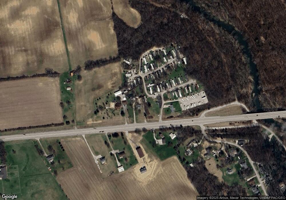
Map
Nearby Homes
- 70 Riverside Dr
- 287 Greenlake St
- 10763 Southwood Rd
- 8595 Abbot Cove Ave
- 8626 Fairbrook Ave
- 8482 Dover Crest Ct
- 270 State Route 142 NE
- 360 State Route 142 NE
- 8527 Carbine Place
- 8654 Cadet Dr N
- 8421 Union Dr
- 545 Trillium Dr
- 8528 Cadence Dr
- 8520 Cadence Dr
- 74 S Chester St
- 63 Jones St
- 430 Trillium Dr
- 312 Larkspur Dr
- 8333 Squad Dr
- 435 Trillium Dr
- 9154 W Broad St Unit 9152
- 9154 W Broad St
- 9210 W Broad St Unit 64
- 9120 W Broad St
- 9120 W Broad St Unit Lot 32
- 9120 W Broad St Unit L3
- 9120 W Broad St Unit Lot55
- 9120 W Broad St Unit L-26
- 9120 W Broad St Unit LOT5
- 9120 W Broad St Unit L-56
- 9120 W Broad St Unit L-61
- 9120 W Broad St Unit L-40
- 9120 W Broad St Unit 6
- 9120 W Broad St Unit 11
- 9120 W Broad St Unit LOT6
- 9120 W Broad St Unit 4
- 9120 W Broad St Unit Lot 27
- 9120 W Broad St Unit Lot 2
- 9120 W Broad St Unit Lot 48
- 8925 W Broad St