Estimated Value: $207,000 - $237,000
3
Beds
2
Baths
1,470
Sq Ft
$148/Sq Ft
Est. Value
About This Home
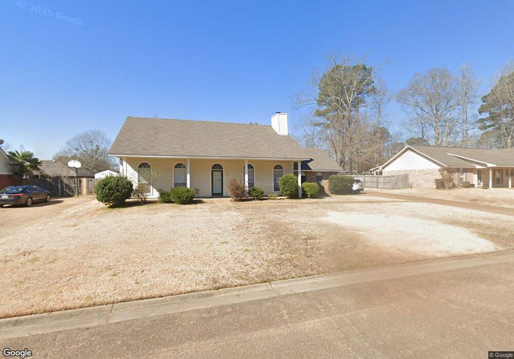
This home is located at 916 Mountain Crest Dr, Byram, MS 39272 and is currently estimated at $217,941, approximately $148 per square foot. 916 Mountain Crest Dr is a home located in Hinds County with nearby schools including Gary Road Elementary School, Gary Road Intermediate School, and Byram Middle School.
Ownership History
Date
Name
Owned For
Owner Type
Purchase Details
Closed on
Nov 21, 2014
Sold by
Cook Helen L
Bought by
Cook Gene C
Current Estimated Value
Home Financials for this Owner
Home Financials are based on the most recent Mortgage that was taken out on this home.
Original Mortgage
$50,800
Outstanding Balance
$38,915
Interest Rate
4%
Mortgage Type
New Conventional
Estimated Equity
$179,026
Create a Home Valuation Report for This Property
The Home Valuation Report is an in-depth analysis detailing your home's value as well as a comparison with similar homes in the area
Home Values in the Area
Average Home Value in this Area
Purchase History
| Date | Buyer | Sale Price | Title Company |
|---|---|---|---|
| Cook Gene C | -- | None Available | |
| Cook Gene C | -- | None Available | |
| Cook Helen L | -- | None Available |
Source: Public Records
Mortgage History
| Date | Status | Borrower | Loan Amount |
|---|---|---|---|
| Open | Cook Helen L | $50,800 | |
| Closed | Cook Gene C | $50,800 |
Source: Public Records
Tax History Compared to Growth
Tax History
| Year | Tax Paid | Tax Assessment Tax Assessment Total Assessment is a certain percentage of the fair market value that is determined by local assessors to be the total taxable value of land and additions on the property. | Land | Improvement |
|---|---|---|---|---|
| 2025 | $561 | $11,088 | $2,500 | $8,588 |
| 2024 | $561 | $11,088 | $2,500 | $8,588 |
| 2023 | $561 | $11,088 | $2,500 | $8,588 |
| 2022 | $1,706 | $11,088 | $2,500 | $8,588 |
| 2021 | $545 | $11,088 | $2,500 | $8,588 |
| 2020 | $516 | $10,945 | $2,500 | $8,445 |
| 2019 | $514 | $10,945 | $2,500 | $8,445 |
| 2018 | $514 | $10,945 | $2,500 | $8,445 |
| 2017 | $504 | $10,945 | $2,500 | $8,445 |
| 2016 | $504 | $10,945 | $2,500 | $8,445 |
| 2015 | $484 | $10,807 | $2,500 | $8,307 |
| 2014 | $477 | $10,807 | $2,500 | $8,307 |
Source: Public Records
Map
Nearby Homes
- 909 Eagles Nest Dr
- 880 Redwood Cove
- 536 Fairway Ave
- 0 Terry Rd Unit 21325508
- 0 Terry Rd Unit 24270230
- 0 Terry Rd Unit 4130083
- 38 Stacy Cove
- 2120 Meagan Dr
- Cali Plan at Cedars of Byram Estates
- Aria Plan at Cedars of Byram Estates
- 0 Byram Pkwy
- 85 Susan Cove
- 104 Lucas Ct
- 109 Lucas Ct
- 1213 Lake Shore Dr
- 344 Brannan Ave
- 368 Brannon Ave
- 4417 Blake Cir
- 0 Byram Place
- 5846 Terry Rd
- 918 Mountain Crest Dr
- 914 Mountain Crest Dr
- 923 Mountain Crest Dr
- 827 Eagles Nest Dr
- 921 Mountain Crest Dr
- 925 Mountain Crest Dr
- 912 Mountain Crest Dr
- 825 Eagles Nest Dr
- 936 Mountain Crest Dr
- 927 Mountain Crest Dr
- 823 Eagles Nest Dr
- 938 Mountain Crest Dr
- 919 Mountain Crest Dr
- 910 Mountain Crest Dr
- 942 Mountain Crest Dr
- 828 Eagles Nest Dr
- 917 Mountain Crest Dr
- 929 Mountain Crest Dr
- 821 Eagles Nest Dr
- 798 Highpoint Dr