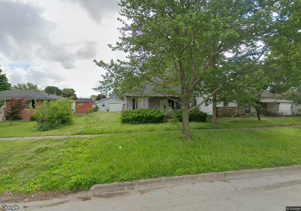
916 N 10th St Mattoon, IL 61938
Estimated Value: $62,000 - $106,000
2
Beds
1
Bath
1,264
Sq Ft
$66/Sq Ft
Est. Value
About This Home
This home is located at 916 N 10th St, Mattoon, IL 61938 and is currently estimated at $82,812, approximately $65 per square foot. 916 N 10th St is a home located in Coles County with nearby schools including Mattoon High School, St Mary School, and St. John's Lutheran School.
Ownership History
Date
Name
Owned For
Owner Type
Purchase Details
Closed on
Jun 10, 2025
Sold by
Coles County
Bought by
Hortenstine Properties Llc Viii
Current Estimated Value
Purchase Details
Closed on
Aug 18, 2005
Sold by
Foltz Mary L
Bought by
Foltz James D
Home Financials for this Owner
Home Financials are based on the most recent Mortgage that was taken out on this home.
Original Mortgage
$45,600
Interest Rate
8.37%
Mortgage Type
Adjustable Rate Mortgage/ARM
Create a Home Valuation Report for This Property
The Home Valuation Report is an in-depth analysis detailing your home's value as well as a comparison with similar homes in the area
Home Values in the Area
Average Home Value in this Area
Purchase History
| Date | Buyer | Sale Price | Title Company |
|---|---|---|---|
| Hortenstine Properties Llc Viii | -- | None Listed On Document | |
| Foltz James D | -- | Netco |
Source: Public Records
Mortgage History
| Date | Status | Borrower | Loan Amount |
|---|---|---|---|
| Previous Owner | Foltz James D | $45,600 |
Source: Public Records
Tax History Compared to Growth
Tax History
| Year | Tax Paid | Tax Assessment Tax Assessment Total Assessment is a certain percentage of the fair market value that is determined by local assessors to be the total taxable value of land and additions on the property. | Land | Improvement |
|---|---|---|---|---|
| 2024 | $1,849 | $21,760 | $1,777 | $19,983 |
| 2023 | $1,717 | $19,429 | $1,587 | $17,842 |
| 2022 | $1,670 | $19,108 | $1,561 | $17,547 |
| 2021 | $1,675 | $17,551 | $1,434 | $16,117 |
| 2020 | $655 | $18,185 | $1,486 | $16,699 |
| 2019 | $609 | $17,551 | $3,834 | $13,717 |
| 2018 | $598 | $17,551 | $3,834 | $13,717 |
| 2017 | $590 | $17,483 | $3,834 | $13,649 |
| 2016 | $578 | $17,483 | $3,834 | $13,649 |
| 2015 | $659 | $17,483 | $3,834 | $13,649 |
| 2014 | $659 | $17,483 | $3,834 | $13,649 |
| 2013 | $659 | $17,483 | $3,834 | $13,649 |
Source: Public Records
Map
Nearby Homes
- 916 Piatt Ave
- 1120 N 11th St
- 817 N 11th St
- 1021 Piatt Ave
- 512 Dewitt Ave
- 421 Dewitt Ave
- 1205 Champaign Ave
- 801 Richmond Ave
- 1412 Champaign Ave
- 1705 Dewitt Ave
- 1816 Grant Ave
- 1120 Broadway Ave
- 1612 Richmond Ave
- 1904 Dewitt Ave
- 1908 Dewitt Ave
- 1905 Dewitt Ave
- 2016 Douglas Ave
- 1900 Champaign Ave
- 1001 Wabash Ave
- 801 N 21st St