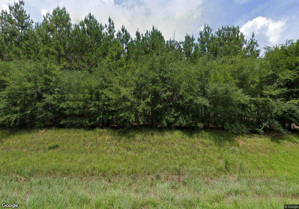
Estimated Value: $67,000 - $115,000
Studio
--
Bath
1,080
Sq Ft
$82/Sq Ft
Est. Value
About This Home
This home is located at 9169 Highway 570 E, Ruth, MS 39662 and is currently estimated at $88,998, approximately $82 per square foot. 9169 Highway 570 E is a home with nearby schools including North Pike Elementary School, North Pike Middle School, and North Pike Senior High School.
Ownership History
Date
Name
Owned For
Owner Type
Purchase Details
Closed on
Dec 20, 2016
Sold by
Robert Wayne Vinson Realty Llc
Bought by
Vinson Brooks Vin Waldon
Current Estimated Value
Home Financials for this Owner
Home Financials are based on the most recent Mortgage that was taken out on this home.
Original Mortgage
$50,000
Interest Rate
3.57%
Mortgage Type
Unknown
Purchase Details
Closed on
Nov 23, 2016
Sold by
Vinson Brooks Vin Waldon and Vinson Cynthia Diane
Bought by
Robert Wayne Vinson Realty Llc
Home Financials for this Owner
Home Financials are based on the most recent Mortgage that was taken out on this home.
Original Mortgage
$50,000
Interest Rate
3.57%
Mortgage Type
Unknown
Create a Home Valuation Report for This Property
The Home Valuation Report is an in-depth analysis detailing your home's value as well as a comparison with similar homes in the area
Purchase History
| Date | Buyer | Sale Price | Title Company |
|---|---|---|---|
| Vinson Brooks Vin Waldon | -- | None Available | |
| Robert Wayne Vinson Realty Llc | -- | None Listed On Document |
Source: Public Records
Mortgage History
| Date | Status | Borrower | Loan Amount |
|---|---|---|---|
| Previous Owner | Vinson Brooks Vin Waldon | $50,000 |
Source: Public Records
Tax History Compared to Growth
Tax History
| Year | Tax Paid | Tax Assessment Tax Assessment Total Assessment is a certain percentage of the fair market value that is determined by local assessors to be the total taxable value of land and additions on the property. | Land | Improvement |
|---|---|---|---|---|
| 2025 | $150 | $1,107 | $0 | $0 |
| 2024 | $218 | $1,589 | $0 | $0 |
| 2023 | $214 | $1,589 | $0 | $0 |
| 2022 | $211 | $1,589 | $0 | $0 |
| 2021 | $210 | $1,589 | $0 | $0 |
| 2020 | $215 | $1,623 | $0 | $0 |
| 2019 | $210 | $1,623 | $0 | $0 |
| 2018 | $209 | $1,623 | $0 | $0 |
| 2017 | $204 | $1,623 | $0 | $0 |
Source: Public Records
Map
Nearby Homes
- 8001 W Topisaw S
- 0 Lucille Ln
- 1073 Hillcrest Farms Ln
- 1017 Hidden Meadow Ln
- 0 C D Rayborn Rd
- 4190 Mississippi 44
- TBD Hwy 570 River Road N Shell Oil Rd
- Tbd Hwy 570 River Road N and S
- 1168 Clem Nettles Rd
- 2075 Hartwell Rd
- 0 Mccullough Rd SE
- 1022 Friendship Cir
- 0 Beartown Rd
- 0 River Rd N
- TBD River Rd N
- 239 Mississippi 44
- TBD Carters Creek Rd
- 182 Hwy 44 None
- 325 Beartown Rd
- 0 Lawrence Reid Rd
- 9199 Mississippi 570
- 1046 Patterson Rd
- 4023 Fred Martin Rd
- 10005 Mississippi 570
- 9154 Highway 570 E
- 9123 Highway 570 E
- 1040 Patterson Rd
- 9118 Highway 570 E
- 1021 W Topisaw N
- 1027 W Topisaw N
- 1025 W Topisaw N
- 10053 Hwy 570e
- 10053 Mississippi 570
- 1076 Patterson Rd
- 1078 W Topisaw N
- 000 Fred Martin Rd
- 4025 Fred Martin Rd
- 8099 W Topisaw S
- 1138 Patterson Rd
- 1096 W Topisaw N
