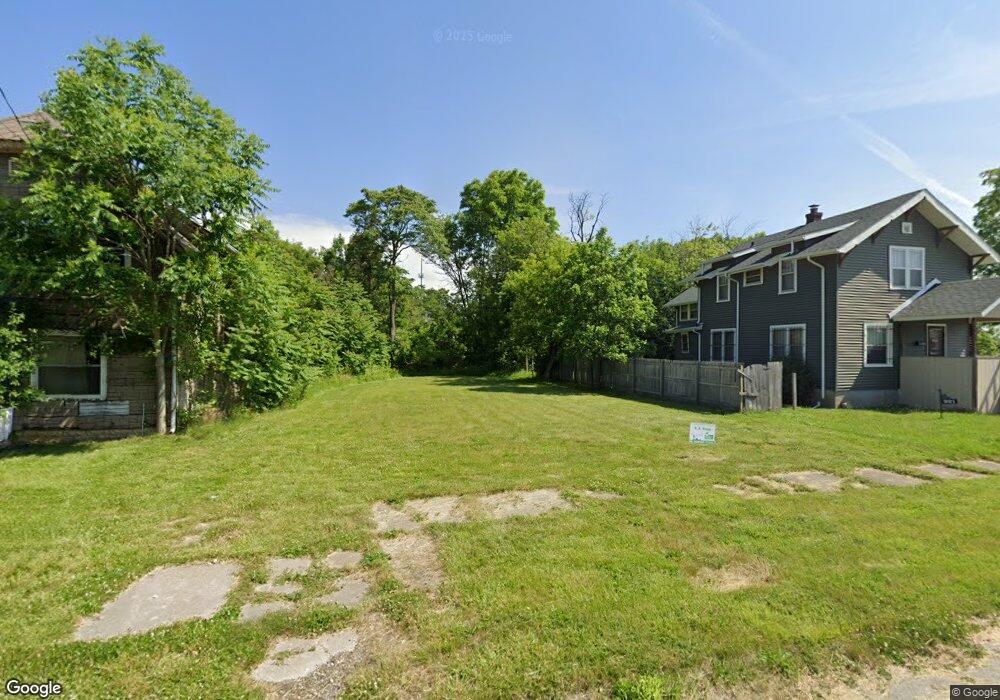
917 Addison St Flint, MI 48505
King Avenue Plus NeighborhoodEstimated Value: $38,000
3
Beds
2
Baths
1,069
Sq Ft
$36/Sq Ft
Est. Value
About This Home
This home is located at 917 Addison St, Flint, MI 48505 and is currently estimated at $38,000, approximately $35 per square foot. 917 Addison St is a home located in Genesee County with nearby schools including Brownell STEM Academy, Richfield Public School Academy, and Greater Heights Academy.
Ownership History
Date
Name
Owned For
Owner Type
Purchase Details
Closed on
Dec 16, 2005
Sold by
Potter Arthur D and Genesee County Land Bank Autho
Bought by
Muhammad Mark A
Current Estimated Value
Purchase Details
Closed on
Dec 7, 2004
Sold by
Kildee Daniel T and Genesee County Land Reutilizat
Bought by
Genesee County Land Bank Authority
Purchase Details
Closed on
Dec 23, 2002
Sold by
Genesee County Treasurer
Bought by
Genesee County Land Reutilization Counci
Purchase Details
Closed on
Dec 27, 1999
Sold by
Department Of Natural Resources
Bought by
Horton Jeffrey C
Create a Home Valuation Report for This Property
The Home Valuation Report is an in-depth analysis detailing your home's value as well as a comparison with similar homes in the area
Home Values in the Area
Average Home Value in this Area
Purchase History
| Date | Buyer | Sale Price | Title Company |
|---|---|---|---|
| Muhammad Mark A | $14,325 | None Available | |
| Genesee County Land Bank Authority | -- | -- | |
| Genesee County Land Reutilization Counci | $2,451 | -- | |
| Horton Jeffrey C | -- | -- |
Source: Public Records
Tax History Compared to Growth
Tax History
| Year | Tax Paid | Tax Assessment Tax Assessment Total Assessment is a certain percentage of the fair market value that is determined by local assessors to be the total taxable value of land and additions on the property. | Land | Improvement |
|---|---|---|---|---|
| 2025 | -- | $0 | $0 | $0 |
| 2024 | -- | $0 | $0 | $0 |
| 2023 | -- | $0 | $0 | $0 |
| 2022 | $0 | $0 | $0 | $0 |
| 2021 | $0 | $0 | $0 | $0 |
| 2020 | $0 | $0 | $0 | $0 |
| 2019 | $0 | $0 | $0 | $0 |
| 2018 | $0 | $0 | $0 | $0 |
| 2017 | $0 | $0 | $0 | $0 |
| 2016 | $0 | $0 | $0 | $0 |
| 2015 | -- | $0 | $0 | $0 |
| 2014 | -- | $0 | $0 | $0 |
| 2012 | -- | $0 | $0 | $0 |
Source: Public Records
Map
Nearby Homes
- 4028 North St
- 638 E Pasadena Ave
- 613 E van Wagoner Ave
- 606 Damon St
- 733 Black Ave
- 418 Damon St
- 3810 Marvin St
- 370 E Moore St
- 313 Edwin Ave
- 0 E Marengo Ave Unit 50166417
- 3506 Esther St
- 1526 Montana Ave
- 680 E Pierson Rd
- 618 E Pulaski Ave
- 1518 Leith St
- 218 E Jackson Ave
- 1445 Maryland Ave
- 726 E Parkway Ave
- 1623 Montana Ave
- 2913 Martin Luther King Ave
- 913 Addison St
- 921 Addison St
- 909 Addison St
- 910 Tilden St
- 901 Addison St
- 922 Addison St
- 910 Addison St
- 829 Addison St
- 906 Addison St
- 930 Addison St
- 902 Addison St
- 3713 Industrial Ave
- 825 Addison St
- 834 Addison St
- 917 Carton St
- 913 Carton St
- 929 Carton St
- 909 Carton St
- 817 Addison St
- 3711 Industrial Ave