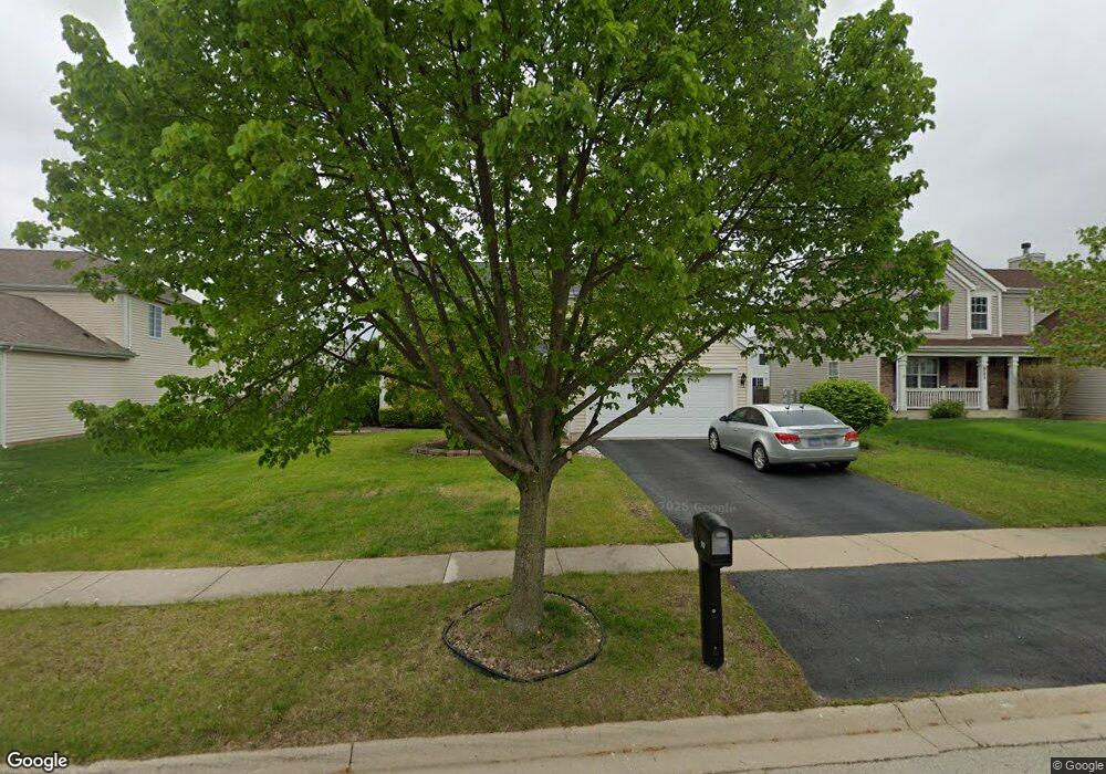
917 Briarcliff Dr Minooka, IL 60447
North Minooka NeighborhoodEstimated Value: $376,000 - $419,000
4
Beds
3
Baths
2,464
Sq Ft
$161/Sq Ft
Est. Value
About This Home
This home is located at 917 Briarcliff Dr, Minooka, IL 60447 and is currently estimated at $397,461, approximately $161 per square foot. 917 Briarcliff Dr is a home located in Kendall County with nearby schools including Jones Elementary School, Minooka Junior High School, and Minooka Intermediate School.
Ownership History
Date
Name
Owned For
Owner Type
Purchase Details
Closed on
Dec 27, 2017
Sold by
Solberg Jason
Bought by
Orozco Joel
Current Estimated Value
Home Financials for this Owner
Home Financials are based on the most recent Mortgage that was taken out on this home.
Original Mortgage
$154,900
Outstanding Balance
$130,483
Interest Rate
3.87%
Mortgage Type
New Conventional
Estimated Equity
$266,978
Purchase Details
Closed on
Jul 20, 2006
Sold by
Summerfield Venture Llc
Bought by
Solberg Jason
Home Financials for this Owner
Home Financials are based on the most recent Mortgage that was taken out on this home.
Original Mortgage
$252,790
Interest Rate
6.82%
Mortgage Type
VA
Create a Home Valuation Report for This Property
The Home Valuation Report is an in-depth analysis detailing your home's value as well as a comparison with similar homes in the area
Home Values in the Area
Average Home Value in this Area
Purchase History
| Date | Buyer | Sale Price | Title Company |
|---|---|---|---|
| Orozco Joel | $245,000 | Citywide Title Corporation | |
| Solberg Jason | $247,500 | Nat |
Source: Public Records
Mortgage History
| Date | Status | Borrower | Loan Amount |
|---|---|---|---|
| Open | Orozco Joel | $154,900 | |
| Previous Owner | Solberg Jason | $252,790 |
Source: Public Records
Tax History
| Year | Tax Paid | Tax Assessment Tax Assessment Total Assessment is a certain percentage of the fair market value that is determined by local assessors to be the total taxable value of land and additions on the property. | Land | Improvement |
|---|---|---|---|---|
| 2024 | $8,840 | $112,308 | $15,425 | $96,883 |
| 2023 | $7,415 | $102,669 | $14,690 | $87,979 |
| 2022 | $7,415 | $93,217 | $13,990 | $79,227 |
| 2021 | $7,259 | $88,984 | $14,203 | $74,781 |
| 2020 | $7,193 | $84,993 | $13,566 | $71,427 |
| 2019 | $7,245 | $83,441 | $13,318 | $70,123 |
| 2018 | $6,998 | $81,620 | $13,027 | $68,593 |
| 2017 | $6,861 | $76,787 | $13,027 | $63,760 |
| 2016 | $6,376 | $71,250 | $12,866 | $58,384 |
| 2015 | $6,073 | $67,619 | $12,210 | $55,409 |
| 2014 | -- | $65,473 | $12,210 | $53,263 |
| 2013 | -- | $65,473 | $12,210 | $53,263 |
Source: Public Records
Map
Nearby Homes
- 837 Briarcliff Dr
- 1510 Balboa Dr
- 1308 Kettleson Dr
- 1302 Kettleson Dr
- 2200 Holt Rd
- 2050 Isabella Ln
- 194 acres W Holt Rd
- Lot 1 Minooka Ridge & Jones Rd
- 2041 Isabella Ln
- LOT 1 Bob Blair Rd
- 201 W Church St
- 701 Davidson Dr Unit B
- 405 W Mondamin St
- 214 Deerpath Dr
- 204 N Wabasso St
- 105 Blackhawk Dr
- 2037 Isabella Ln
- 6010-6060 E Minooka Rd
- 706 O Toole Dr
- 1133 Coneflower Ct
- 921 Briarcliff Dr
- 913 Briarcliff Dr
- 1431 Kettleson Dr
- 1427 Kettleson Dr
- 925 Briarcliff Dr
- 1425 Kettleson Dr Unit 1
- 1429 Kettleson Dr
- 1429 Kettleson Dr Unit 1429
- 1423 Kettleson Dr
- 623 Gallant Dr
- 1503 Kettleson Dr
- 909 Briarcliff Dr
- 904 Briarcliff Dr
- 1505 Kettleson Dr
- 1505 Kettleson Dr Unit 1505
- 1421 Kettleson Dr Unit 1
- 929 Briarcliff Dr
- 1509 Kettleson Dr
- 1507 Kettleson Dr
- 627 Gallant Dr
Your Personal Tour Guide
Ask me questions while you tour the home.