917 Calhoun Rd Saint Matthews, SC 29135
Estimated Value: $210,988 - $278,000
--
Bed
--
Bath
--
Sq Ft
4.8
Acres
About This Home
This home is located at 917 Calhoun Rd, Saint Matthews, SC 29135 and is currently estimated at $240,329. 917 Calhoun Rd is a home located in Calhoun County with nearby schools including Calhoun County High School and First Assembly Christian School.
Ownership History
Date
Name
Owned For
Owner Type
Purchase Details
Closed on
Feb 16, 2016
Sold by
Knight Norman Lee
Bought by
Barton Samuel M and Barton Staci Bozard
Current Estimated Value
Home Financials for this Owner
Home Financials are based on the most recent Mortgage that was taken out on this home.
Original Mortgage
$120,280
Outstanding Balance
$95,792
Interest Rate
3.92%
Mortgage Type
New Conventional
Estimated Equity
$144,537
Purchase Details
Closed on
Nov 29, 2006
Sold by
Scott Cynthia S and Gardner Rhonda
Bought by
Smoak Cynthia Tyler
Create a Home Valuation Report for This Property
The Home Valuation Report is an in-depth analysis detailing your home's value as well as a comparison with similar homes in the area
Home Values in the Area
Average Home Value in this Area
Purchase History
| Date | Buyer | Sale Price | Title Company |
|---|---|---|---|
| Barton Samuel M | $124,000 | -- | |
| Smoak Cynthia Tyler | -- | None Available |
Source: Public Records
Mortgage History
| Date | Status | Borrower | Loan Amount |
|---|---|---|---|
| Open | Barton Samuel M | $120,280 |
Source: Public Records
Tax History Compared to Growth
Tax History
| Year | Tax Paid | Tax Assessment Tax Assessment Total Assessment is a certain percentage of the fair market value that is determined by local assessors to be the total taxable value of land and additions on the property. | Land | Improvement |
|---|---|---|---|---|
| 2024 | $854 | $6,320 | $1,130 | $5,190 |
| 2023 | $854 | $6,320 | $1,132 | $5,188 |
| 2022 | $820 | $6,320 | $1,130 | $5,190 |
| 2021 | $685 | $5,560 | $1,080 | $4,480 |
| 2020 | $628 | $4,910 | $1,080 | $3,830 |
| 2019 | $629 | $4,910 | $1,080 | $3,830 |
| 2018 | $629 | $4,910 | $1,080 | $3,830 |
| 2017 | $612 | $4,910 | $1,080 | $3,830 |
| 2016 | -- | $4,730 | $900 | $3,830 |
| 2015 | -- | $4,730 | $900 | $3,830 |
| 2012 | -- | $4,730 | $900 | $3,830 |
Source: Public Records
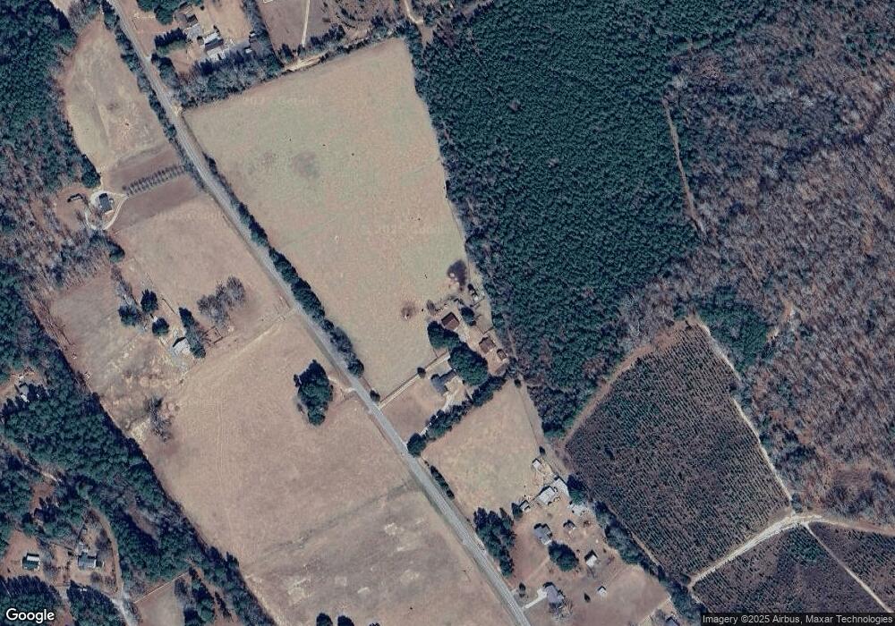
Map
Nearby Homes
- 88 Lady Ashley Dr
- 152 Ridgelake Cir
- 0 Ridgelake(23-B) Cir
- 0 Ridgelake(lot 35) Cir
- 0 Cir Unit 25009067
- 0 Ridgelake(15-A 15-B) Cir
- 0 Ridgelake(lot 14-B) Cir
- 0 Ridgelake(lot 12) Cir
- 0 Ridgelake(lots 8 9 10 11) Cir
- 0 Ridgelake Cir Unit 609323
- 0 Ridgelake Cir
- 29 Ridgelake Cir
- 600 Doodle Hill Rd
- Fringetree Road
- 2002 Liberty St
- 357 Edgewood Dr
- 504 F R Huff Dr
- 103 Mack St
- 105 Tucker Mill Cir
- 40 Hillview Rd
- 961 Calhoun Rd
- 979 Calhoun Rd
- 30 Hunters Trace Rd
- 860 Calhoun Rd
- 69 Hunters Trace Rd
- 85 Hunters Trace Rd
- 76 Lakeside Dr
- 835 Calhoun Rd
- 85 Lady Ashley Dr
- 821 Calhoun Rd
- 811 Calhoun Rd
- 154 Hunters Trace Rd
- 1029 Calhoun Rd
- 49 Lady Ashley Dr
- 297 Lady Ashley Dr
- 287 Lady Ashley Dr
- 105 Rainbow Ln
- 480 Lady Ashley Dr
- 0 Lakeside Dr Unit 1217485
- Lot 41 Lady Ashley Dr