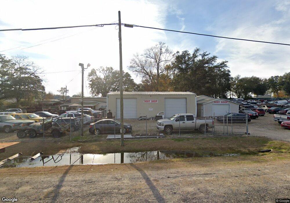
917 Colquitt Hwy Bainbridge, GA 39817
Estimated Value: $204,000 - $501,000
--
Bed
1
Bath
3,148
Sq Ft
$106/Sq Ft
Est. Value
About This Home
This home is located at 917 Colquitt Hwy, Bainbridge, GA 39817 and is currently estimated at $332,982, approximately $105 per square foot. 917 Colquitt Hwy is a home located in Decatur County with nearby schools including Bainbridge High School.
Ownership History
Date
Name
Owned For
Owner Type
Purchase Details
Closed on
Jul 29, 2025
Sold by
Rathel Charles E
Bought by
Rathel Charles E and Rathel Susan G
Current Estimated Value
Purchase Details
Closed on
Jun 16, 2025
Sold by
Rathel Charles Chane
Bought by
Rathel Charles E
Purchase Details
Closed on
Dec 23, 2024
Sold by
Rathel Caleb Bradford
Bought by
Rathel Charles E
Purchase Details
Closed on
Nov 5, 2024
Sold by
Arnette Jeffrey D
Bought by
Josey Shirley Jean
Create a Home Valuation Report for This Property
The Home Valuation Report is an in-depth analysis detailing your home's value as well as a comparison with similar homes in the area
Home Values in the Area
Average Home Value in this Area
Purchase History
| Date | Buyer | Sale Price | Title Company |
|---|---|---|---|
| Rathel Charles E | -- | -- | |
| Rathel Charles E | -- | -- | |
| Rathel Charles E | -- | -- | |
| Josey Shirley Jean | $45,000 | -- |
Source: Public Records
Tax History Compared to Growth
Tax History
| Year | Tax Paid | Tax Assessment Tax Assessment Total Assessment is a certain percentage of the fair market value that is determined by local assessors to be the total taxable value of land and additions on the property. | Land | Improvement |
|---|---|---|---|---|
| 2024 | $3,360 | $113,566 | $1,685 | $111,881 |
| 2023 | $2,937 | $113,566 | $1,685 | $111,881 |
| 2022 | $2,989 | $104,709 | $1,455 | $103,254 |
| 2021 | $3,016 | $101,743 | $1,455 | $100,288 |
| 2020 | $2,778 | $88,945 | $1,455 | $87,490 |
| 2019 | $2,574 | $79,370 | $1,455 | $77,915 |
| 2018 | $2,542 | $79,370 | $1,455 | $77,915 |
| 2017 | $2,712 | $86,422 | $5,188 | $81,234 |
| 2016 | $3,182 | $86,334 | $5,099 | $81,234 |
| 2015 | $3,203 | $86,334 | $5,099 | $81,234 |
| 2014 | $2,794 | $86,334 | $5,099 | $81,234 |
| 2013 | -- | $86,333 | $5,099 | $81,234 |
Source: Public Records
Map
Nearby Homes
- 850 Zorn Rd
- 1603 Plantation Rd
- 1302 Talmadge St
- 000 Conger Dr
- 00 Dothan Rd
- Lot Griffin St
- 0 Pine St Unit 10993
- 604 Martin St
- 467 745 Lot St N
- LOT 9 BL Mountainview Way
- Lots Lott 19 & 20
- 125 John Sam Rd
- 160 Manhole Rd
- 104 Brock St
- 116 Flint River Heights Rd
- 2137 Pondtown Rd
- Tract 1 Rivervale Dr
- 00 Manhole Rd
- 2400 Airport Rd Unit 6
- 2400 Airport Rd
- 915 Colquitt Hwy
- 920 Colquitt Hwy
- 905 Colquitt Hwy
- 1092 Zorn Rd
- 111 Rand Floyd Rd
- 000 Colquitt Hwy
- 0000 Colquitt Hwy
- 1138 Colquitt Hwy Unit B
- 1138 Colquitt Hwy
- 1068 Zorn Rd
- 129 Lashley Rd
- 949 Colquitt Hwy
- 1062 Zorn Rd
- 115 Lashley Rd
- 1046 Zorn Rd
- 114 Powell Rd
- 266 Colquitt Hwy
- 1040 Zorn Rd
- 122 Powell Rd
- 858 Colquitt Hwy