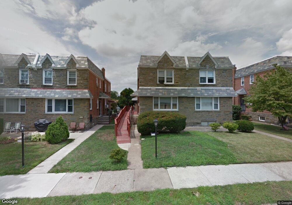
917 E Roumfort Rd Philadelphia, PA 19150
Cedarbrook NeighborhoodEstimated Value: $312,735 - $356,000
3
Beds
3
Baths
1,420
Sq Ft
$241/Sq Ft
Est. Value
About This Home
This home is located at 917 E Roumfort Rd, Philadelphia, PA 19150 and is currently estimated at $342,684, approximately $241 per square foot. 917 E Roumfort Rd is a home located in Philadelphia County with nearby schools including John Story Jenks Academy for the Arts an, Roxborough High School, and Renaissance Charter School.
Ownership History
Date
Name
Owned For
Owner Type
Purchase Details
Closed on
Jun 27, 2012
Sold by
Womack Alice Wilson and Jefferson Alice
Bought by
Gamble Steven D
Current Estimated Value
Home Financials for this Owner
Home Financials are based on the most recent Mortgage that was taken out on this home.
Original Mortgage
$157,405
Outstanding Balance
$108,904
Interest Rate
3.87%
Mortgage Type
FHA
Estimated Equity
$233,780
Create a Home Valuation Report for This Property
The Home Valuation Report is an in-depth analysis detailing your home's value as well as a comparison with similar homes in the area
Home Values in the Area
Average Home Value in this Area
Purchase History
| Date | Buyer | Sale Price | Title Company |
|---|---|---|---|
| Gamble Steven D | $161,500 | Title Services |
Source: Public Records
Mortgage History
| Date | Status | Borrower | Loan Amount |
|---|---|---|---|
| Open | Gamble Steven D | $157,405 |
Source: Public Records
Tax History Compared to Growth
Tax History
| Year | Tax Paid | Tax Assessment Tax Assessment Total Assessment is a certain percentage of the fair market value that is determined by local assessors to be the total taxable value of land and additions on the property. | Land | Improvement |
|---|---|---|---|---|
| 2026 | $3,305 | $278,400 | $55,680 | $222,720 |
| 2025 | $3,305 | $278,400 | $55,680 | $222,720 |
| 2024 | $3,305 | $278,400 | $55,680 | $222,720 |
| 2023 | $3,305 | $236,100 | $47,220 | $188,880 |
| 2022 | $2,115 | $191,100 | $47,220 | $143,880 |
| 2021 | $2,745 | $0 | $0 | $0 |
| 2020 | $2,745 | $0 | $0 | $0 |
| 2019 | $2,865 | $0 | $0 | $0 |
| 2018 | $2,280 | $0 | $0 | $0 |
| 2017 | $2,700 | $0 | $0 | $0 |
| 2016 | $2,280 | $0 | $0 | $0 |
| 2015 | $2,183 | $0 | $0 | $0 |
| 2014 | -- | $192,900 | $41,466 | $151,434 |
| 2012 | -- | $25,536 | $4,096 | $21,440 |
Source: Public Records
Map
Nearby Homes
- 940 E Allens Ln
- 7604 East Ln
- 407 E Allens Ln
- 302 Crest Park Rd
- 8319 Woolston Ave
- 7704 Ardleigh St
- 1038 E Mount Pleasant Ave
- 1204 E Mount Airy Ave
- 932 E Ellet St
- 8613 Thouron Ave
- 8427 Thouron Ave
- 8504 Forrest Ave
- 7510 Boyer St
- 0 Campbell Ln
- 7823 Flourtown Ave
- 8307 Thouron Ave
- 937 E Gorgas Ln
- 8327 Forrest Ave
- 8617 Williams Ave
- 506 E Gorgas Ln
- 919 Roumfort Rd
- 915 E Roumfort Rd
- 921 Roumfort Rd
- 913 E Roumfort Rd
- 923 E Roumfort Rd
- 911 E Roumfort Rd
- 909 E Roumfort Rd
- 912 Murdoch Rd
- 925 E Roumfort Rd
- 914 Murdoch Rd
- 910 Murdoch Rd
- 916 Murdoch Rd
- 927 E Roumfort Rd
- 908 Murdoch Rd
- 918 Murdoch Rd
- 907 E Roumfort Rd
- 905 E Roumfort Rd
- 916 E Roumfort Rd
- 914 E Roumfort Rd
- 918 E Roumfort Rd