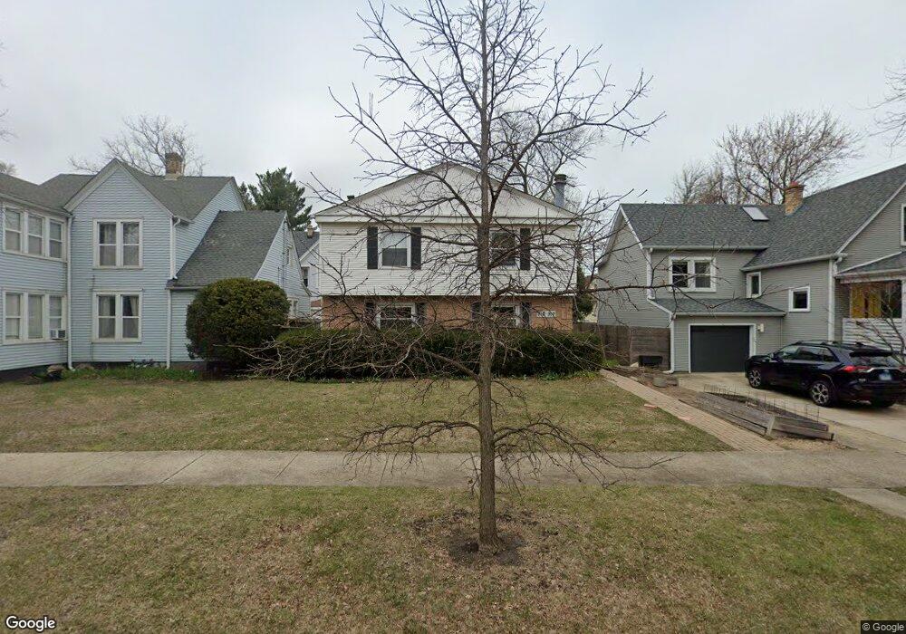
917 Hamlin St Unit B Evanston, IL 60201
Northeast Evanston NeighborhoodEstimated Value: $348,000 - $449,402
3
Beds
--
Bath
1,500
Sq Ft
$263/Sq Ft
Est. Value
About This Home
This home is located at 917 Hamlin St Unit B, Evanston, IL 60201 and is currently estimated at $394,101, approximately $262 per square foot. 917 Hamlin St Unit B is a home located in Cook County with nearby schools including Dewey Elementary School, Washington Elementary School, and Nichols Middle School.
Ownership History
Date
Name
Owned For
Owner Type
Purchase Details
Closed on
Aug 1, 1997
Sold by
Rafelson Halek John R and Rafelson Halek Anne
Bought by
Jain Dipak C and Jain Sushant
Current Estimated Value
Home Financials for this Owner
Home Financials are based on the most recent Mortgage that was taken out on this home.
Original Mortgage
$152,000
Interest Rate
7.57%
Create a Home Valuation Report for This Property
The Home Valuation Report is an in-depth analysis detailing your home's value as well as a comparison with similar homes in the area
Home Values in the Area
Average Home Value in this Area
Purchase History
| Date | Buyer | Sale Price | Title Company |
|---|---|---|---|
| Jain Dipak C | $126,666 | -- |
Source: Public Records
Mortgage History
| Date | Status | Borrower | Loan Amount |
|---|---|---|---|
| Closed | Jain Dipak C | $152,000 |
Source: Public Records
Tax History Compared to Growth
Tax History
| Year | Tax Paid | Tax Assessment Tax Assessment Total Assessment is a certain percentage of the fair market value that is determined by local assessors to be the total taxable value of land and additions on the property. | Land | Improvement |
|---|---|---|---|---|
| 2024 | $7,550 | $31,191 | $5,573 | $25,618 |
| 2023 | $6,450 | $31,191 | $5,573 | $25,618 |
| 2022 | $6,450 | $31,191 | $5,573 | $25,618 |
| 2021 | $12,005 | $48,568 | $3,677 | $44,891 |
| 2020 | $11,905 | $48,568 | $3,677 | $44,891 |
| 2019 | $11,641 | $53,115 | $3,677 | $49,438 |
| 2018 | $11,361 | $44,902 | $3,120 | $41,782 |
| 2017 | $11,080 | $44,902 | $3,120 | $41,782 |
| 2016 | $10,731 | $44,902 | $3,120 | $41,782 |
| 2015 | $7,080 | $29,029 | $2,674 | $26,355 |
| 2014 | $7,027 | $29,029 | $2,674 | $26,355 |
| 2013 | $6,850 | $29,029 | $2,674 | $26,355 |
Source: Public Records
Map
Nearby Homes
- 2012 Maple Ave
- 2026 Maple Ave
- 2033 Sherman Ave Unit 409
- 2033 Sherman Ave Unit 403
- 2033 Sherman Ave Unit 504
- 2125 Sherman Ave
- 1889 Maple Ave Unit W10
- 1862 Sherman Ave Unit 1NE
- 709 Foster St
- 1864 Sherman Ave Unit 3SW
- 1864 Sherman Ave Unit 5NW
- 721 Emerson St Unit 2W
- 1860 Sherman Ave Unit 7NE
- 730 Noyes St Unit K3
- 734 Noyes St Unit 2
- 734 Noyes St Unit R1
- 2236 Ridge Ave
- 1915 Asbury Ave
- 1228 Emerson St Unit 304
- 800 Elgin Rd Unit 1306
- 915 Hamlin St Unit A
- 2039 Maple Ave
- 913 Hamlin St
- 909 Hamlin St
- 909 Hamlin St Unit 1
- 912 Simpson St
- 918 Simpson St
- 2029 Maple Ave
- 910 Simpson St
- 2025 Maple Ave
- 908 Hamlin St Unit 1
- 912 Hamlin St Unit 3
- 912 Hamlin St Unit 2
- 912 Hamlin St Unit 1
- 912 Hamlin St
- 2023 Maple Ave
- 2034 Maple Ave Unit 3
- 2034 Maple Ave
- 2103 Maple Ave
- 833 Hamlin St Unit 1C