Estimated Value: $523,800
Studio
1
Bath
2,028
Sq Ft
$258/Sq Ft
Est. Value
About This Home
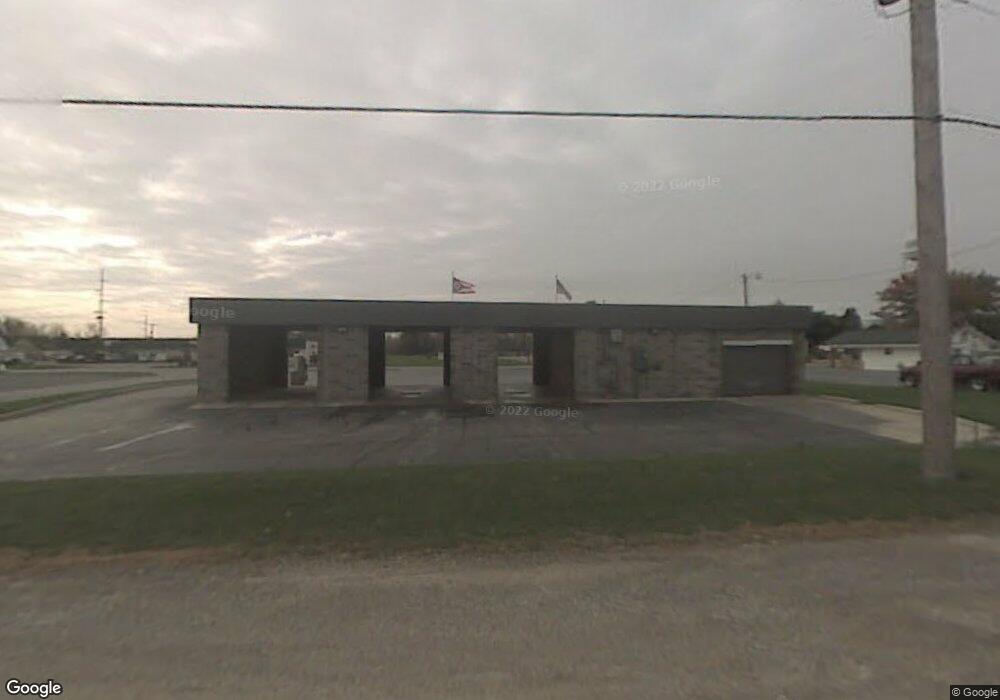
This home is located at 917 Main St, Delta, OH 43515 and is currently priced at $523,800, approximately $258 per square foot. 917 Main St is a home located in Fulton County with nearby schools including Delta Elementary School, Pike-Delta-York Middle School, and Pike-Delta-York High School.
Ownership History
Date
Name
Owned For
Owner Type
Purchase Details
Closed on
Jun 6, 2017
Sold by
Kigar Richard N & Alice L Trustees
Bought by
The Hunter Land Development Co Llc
Current Estimated Value
Home Financials for this Owner
Home Financials are based on the most recent Mortgage that was taken out on this home.
Interest Rate
3.94%
Purchase Details
Closed on
Mar 11, 2008
Sold by
Kigar Richard N and Kigar Alice L
Bought by
Kigar Richard N and Kigar Alice L
Purchase Details
Closed on
Sep 22, 1997
Sold by
Super Wash Inc
Bought by
Kigar Richard N and Kigar Alice L
Home Financials for this Owner
Home Financials are based on the most recent Mortgage that was taken out on this home.
Original Mortgage
$400,000
Interest Rate
7.55%
Mortgage Type
Commercial
Purchase Details
Closed on
Jan 1, 1990
Bought by
Smith Bud L and Smith Unabelle
Create a Home Valuation Report for This Property
The Home Valuation Report is an in-depth analysis detailing your home's value as well as a comparison with similar homes in the area
Home Values in the Area
Average Home Value in this Area
Purchase History
| Date | Buyer | Sale Price | Title Company |
|---|---|---|---|
| The Hunter Land Development Co Llc | $175,000 | -- | |
| Kigar Richard N | -- | Attorney | |
| Kigar Richard N | $261,420 | -- | |
| Smith Bud L | -- | -- |
Source: Public Records
Mortgage History
| Date | Status | Borrower | Loan Amount |
|---|---|---|---|
| Closed | The Hunter Land Development Co Llc | -- | |
| Previous Owner | Kigar Richard N | $400,000 |
Source: Public Records
Tax History
| Year | Tax Paid | Tax Assessment Tax Assessment Total Assessment is a certain percentage of the fair market value that is determined by local assessors to be the total taxable value of land and additions on the property. | Land | Improvement |
|---|---|---|---|---|
| 2024 | $1,812 | $27,100 | $5,290 | $21,810 |
| 2023 | $1,810 | $27,100 | $5,290 | $21,810 |
| 2022 | $2,099 | $27,100 | $5,290 | $21,810 |
| 2021 | $2,138 | $27,100 | $5,290 | $21,810 |
| 2020 | $2,176 | $27,100 | $5,290 | $21,810 |
| 2019 | $2,099 | $25,940 | $5,250 | $20,690 |
| 2018 | $2,120 | $25,940 | $5,250 | $20,690 |
| 2017 | $2,112 | $25,940 | $5,250 | $20,690 |
| 2016 | $2,157 | $25,940 | $5,250 | $20,690 |
| 2015 | $2,101 | $25,940 | $5,250 | $20,690 |
| 2014 | $2,059 | $25,940 | $5,250 | $20,690 |
| 2013 | $1,970 | $25,870 | $5,250 | $20,620 |
Source: Public Records
Map
Nearby Homes
- 929 Linwood Ave
- 518 Providence St
- 305 Mckinley St
- 207 Wood St
- 308 Monroe St
- 302 Adrian St
- 2049 Pear Tree Ln
- 318 Hidden Ridge Dr
- 2061 Redbud Ln
- 315 Cherrytree Ln
- 2158 Redbud Ln
- 8069 County Road 7
- 320 Crabtree Ln
- 8069 Fulton County 7-2
- 3088 County Road H
- 9294 County Road L
- 10487 County Road 4
- 4465 County Road 3
- 7893 County Road 2
- 0 County Road 4 & L
Your Personal Tour Guide
Ask me questions while you tour the home.