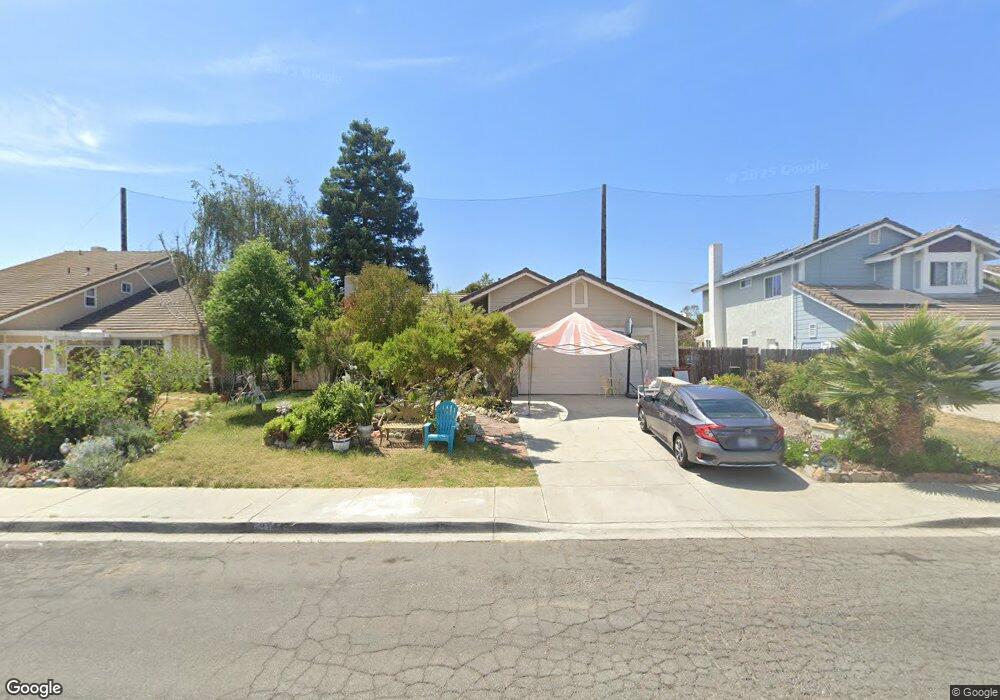
917 Newport St Oceanside, CA 92057
North Valley NeighborhoodEstimated Value: $726,698 - $825,000
3
Beds
2
Baths
1,269
Sq Ft
$624/Sq Ft
Est. Value
About This Home
This home is located at 917 Newport St, Oceanside, CA 92057 and is currently estimated at $792,175, approximately $624 per square foot. 917 Newport St is a home located in San Diego County with nearby schools including Reynolds Elementary School, Martin Luther King Jr. Middle School, and El Camino High School.
Ownership History
Date
Name
Owned For
Owner Type
Purchase Details
Closed on
May 26, 2010
Sold by
Ocallaghan Frederick P
Bought by
Huberts Ronald G and Huberts Diane M
Current Estimated Value
Home Financials for this Owner
Home Financials are based on the most recent Mortgage that was taken out on this home.
Original Mortgage
$216,000
Outstanding Balance
$144,337
Interest Rate
4.91%
Mortgage Type
New Conventional
Estimated Equity
$647,838
Purchase Details
Closed on
Mar 8, 2002
Sold by
Centex Homes
Bought by
Delgado Ruben and Delgado Dora B
Home Financials for this Owner
Home Financials are based on the most recent Mortgage that was taken out on this home.
Original Mortgage
$147,000
Interest Rate
6.84%
Purchase Details
Closed on
Sep 30, 1986
Bought by
Ocallaghan Frederick P
Create a Home Valuation Report for This Property
The Home Valuation Report is an in-depth analysis detailing your home's value as well as a comparison with similar homes in the area
Home Values in the Area
Average Home Value in this Area
Purchase History
| Date | Buyer | Sale Price | Title Company |
|---|---|---|---|
| Huberts Ronald G | $275,000 | Ticor Title Company | |
| Delgado Ruben | $345,500 | Commerce Title Company | |
| Ocallaghan Frederick P | $109,500 | -- |
Source: Public Records
Mortgage History
| Date | Status | Borrower | Loan Amount |
|---|---|---|---|
| Open | Huberts Ronald G | $216,000 | |
| Previous Owner | Delgado Ruben | $147,000 |
Source: Public Records
Tax History
| Year | Tax Paid | Tax Assessment Tax Assessment Total Assessment is a certain percentage of the fair market value that is determined by local assessors to be the total taxable value of land and additions on the property. | Land | Improvement |
|---|---|---|---|---|
| 2025 | $4,070 | $354,960 | $155,594 | $199,366 |
| 2024 | $4,070 | $348,001 | $152,544 | $195,457 |
| 2023 | $3,946 | $341,178 | $149,553 | $191,625 |
| 2022 | $3,886 | $334,489 | $146,621 | $187,868 |
| 2021 | $3,899 | $327,932 | $143,747 | $184,185 |
| 2020 | $3,781 | $324,571 | $142,274 | $182,297 |
| 2019 | $3,673 | $318,208 | $139,485 | $178,723 |
| 2018 | $3,633 | $311,969 | $136,750 | $175,219 |
| 2017 | $3,566 | $305,853 | $134,069 | $171,784 |
| 2016 | $3,452 | $299,857 | $131,441 | $168,416 |
| 2015 | $3,353 | $295,354 | $129,467 | $165,887 |
| 2014 | $3,227 | $289,569 | $126,931 | $162,638 |
Source: Public Records
Map
Nearby Homes
- 318 Festival Dr
- 4560 Calle Del Palo
- 4499 Pebble Beach Dr
- 4588 Vinyard St
- 4422 Point Degada
- 4413 Point Degada
- 4655 Caneel Bay Ct
- 4475 Saint Andrews Place
- 4467 Anne Sladon St
- 354 Lustrosos St
- 4616 N River Rd Unit 89
- 156 Avenida Descanso
- 514 Calle Montecito Unit 78
- 514 Calle Montecito Unit 80
- 517 Calle Montecito Unit 91
- 510 Calle Montecito Unit 51
- 518 Calle Montecito Unit 95
- 361 Point Windemere Place
- 231 Riverview Way
- 0 N River Rd Unit NDP2507519
- 921 Newport St
- 913 Newport St
- 925 Newport St
- 909 Newport St
- 916 Newport St
- 920 Newport St
- 929 Newport St
- 912 Newport St
- 924 Newport St
- 928 Newport St
- 933 Newport St
- 905 Newport St
- 4518 Big Sur St
- 4501 Big Sur St
- 932 Newport St
- 925 Goleta St
- 4505 Big Sur St
- 937 Newport St
- 4509 Big Sur St
- 929 Goleta St
Your Personal Tour Guide
Ask me questions while you tour the home.