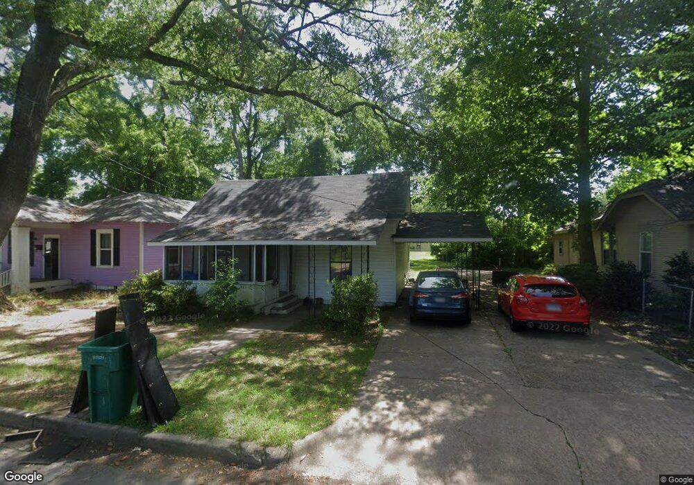
917 S Nebraska St Pine Bluff, AR 71601
Estimated Value: $50,000 - $61,053
--
Bed
2
Baths
956
Sq Ft
$60/Sq Ft
Est. Value
About This Home
This home is located at 917 S Nebraska St, Pine Bluff, AR 71601 and is currently estimated at $57,013, approximately $59 per square foot. 917 S Nebraska St is a home located in Jefferson County with nearby schools including Matthews Elementary School, Jack Robey Junior High School, and Pine Bluff High School.
Ownership History
Date
Name
Owned For
Owner Type
Purchase Details
Closed on
Mar 19, 2001
Bought by
Grant Ray C and Juanita Marks
Current Estimated Value
Purchase Details
Closed on
Jun 28, 1990
Bought by
Wilbert David I and Wilbert Wf
Purchase Details
Closed on
Oct 16, 1989
Bought by
Secretary Of H U D
Purchase Details
Closed on
Sep 27, 1989
Bought by
Simmons First National Bank
Purchase Details
Closed on
Jan 20, 1987
Bought by
Winans Patricia A
Purchase Details
Closed on
May 28, 1986
Bought by
Roberts Lillian
Purchase Details
Closed on
Feb 26, 1986
Bought by
Winans Kenneth and Winans Wf
Create a Home Valuation Report for This Property
The Home Valuation Report is an in-depth analysis detailing your home's value as well as a comparison with similar homes in the area
Home Values in the Area
Average Home Value in this Area
Purchase History
| Date | Buyer | Sale Price | Title Company |
|---|---|---|---|
| Grant Ray C | $14,000 | -- | |
| Wilbert David I | -- | -- | |
| Secretary Of H U D | -- | -- | |
| Simmons First National Bank | -- | -- | |
| Winans Patricia A | -- | -- | |
| Roberts Lillian | -- | -- | |
| Winans Kenneth | $28,000 | -- |
Source: Public Records
Tax History Compared to Growth
Tax History
| Year | Tax Paid | Tax Assessment Tax Assessment Total Assessment is a certain percentage of the fair market value that is determined by local assessors to be the total taxable value of land and additions on the property. | Land | Improvement |
|---|---|---|---|---|
| 2025 | $256 | $3,850 | $600 | $3,250 |
| 2024 | $245 | $3,850 | $600 | $3,250 |
| 2023 | $225 | $3,850 | $600 | $3,250 |
| 2022 | $188 | $2,930 | $800 | $2,130 |
| 2021 | $188 | $2,930 | $800 | $2,130 |
| 2020 | $188 | $2,930 | $800 | $2,130 |
| 2019 | $188 | $2,930 | $800 | $2,130 |
| 2018 | $180 | $2,930 | $800 | $2,130 |
| 2017 | $173 | $2,690 | $800 | $1,890 |
| 2016 | $173 | $2,690 | $800 | $1,890 |
| 2015 | $165 | $2,690 | $800 | $1,890 |
| 2014 | -- | $2,690 | $800 | $1,890 |
Source: Public Records
Map
Nearby Homes
- 1916 E 7th Ave
- 3010 S Dakota St
- 1101 E 6th Ave
- 808 Barrow Dr
- 1210 Brentwood Dr
- 2221 E 6th Ave
- 1302 Boston Dr
- 1124 E 2nd Ave
- 00 NE Corner Hwy 65 425-81
- 00
- 000 S 65 Hwy
- 1503 Collins Dr
- 1300 Avondale Dr
- 519 E 15th Ave
- 2406 Belmoor Dr
- 1213 S Georgia St
- 1519 S Tennessee St
- 1212 E 20th Ave
- 0 S Tennessee St
- 2713 Claremont Ave
- 915 S Nebraska St
- 919 S Nebraska St
- 913 S Nebraska St
- 905 S Nebraska St
- 1001 S Nebraska St
- 918 S Dakota St
- 920 S Dakota St
- 1502 E 10th Ave
- 912 S Dakota St
- 916 S Nebraska St
- 903 S Nebraska St
- 914 S Nebraska St
- 1003 S Nebraska St
- 920 S Nebraska St
- 912 S Nebraska St
- 906 S Dakota St
- 1002 S Nebraska St
- 904 S Nebraska St
- 1005 S Nebraska St
- 1510 E 9th Ave