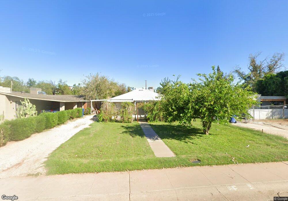
917 S Roosevelt St Tempe, AZ 85281
Mitchell Park East NeighborhoodEstimated Value: $347,000 - $473,000
--
Bed
1
Bath
1,008
Sq Ft
$402/Sq Ft
Est. Value
About This Home
This home is located at 917 S Roosevelt St, Tempe, AZ 85281 and is currently estimated at $404,793, approximately $401 per square foot. 917 S Roosevelt St is a home located in Maricopa County with nearby schools including Geneva Epps Mosley Middle School, Tempe High School, and New School for the Arts & Academics.
Ownership History
Date
Name
Owned For
Owner Type
Purchase Details
Closed on
Jan 29, 2025
Sold by
Morrissey Karen L
Bought by
Karen L Morrissey Revocable Trust and Morrissey
Current Estimated Value
Purchase Details
Closed on
Dec 2, 1996
Sold by
Lavers Irene
Bought by
Morrissey Karen L
Home Financials for this Owner
Home Financials are based on the most recent Mortgage that was taken out on this home.
Original Mortgage
$80,000
Interest Rate
7.76%
Mortgage Type
New Conventional
Create a Home Valuation Report for This Property
The Home Valuation Report is an in-depth analysis detailing your home's value as well as a comparison with similar homes in the area
Home Values in the Area
Average Home Value in this Area
Purchase History
| Date | Buyer | Sale Price | Title Company |
|---|---|---|---|
| Karen L Morrissey Revocable Trust | -- | None Listed On Document | |
| Morrissey Karen L | $85,000 | Chicago Title Insurance Co |
Source: Public Records
Mortgage History
| Date | Status | Borrower | Loan Amount |
|---|---|---|---|
| Previous Owner | Morrissey Karen L | $80,000 |
Source: Public Records
Tax History Compared to Growth
Tax History
| Year | Tax Paid | Tax Assessment Tax Assessment Total Assessment is a certain percentage of the fair market value that is determined by local assessors to be the total taxable value of land and additions on the property. | Land | Improvement |
|---|---|---|---|---|
| 2025 | $1,671 | $16,029 | -- | -- |
| 2024 | $1,533 | $15,266 | -- | -- |
| 2023 | $1,533 | $37,360 | $7,470 | $29,890 |
| 2022 | $1,464 | $31,010 | $6,200 | $24,810 |
| 2021 | $1,493 | $28,670 | $5,730 | $22,940 |
| 2020 | $1,444 | $25,210 | $5,040 | $20,170 |
| 2019 | $1,416 | $20,320 | $4,060 | $16,260 |
| 2018 | $1,378 | $18,700 | $3,740 | $14,960 |
| 2017 | $1,335 | $15,780 | $3,150 | $12,630 |
| 2016 | $1,328 | $15,670 | $3,130 | $12,540 |
| 2015 | $1,285 | $13,470 | $2,690 | $10,780 |
Source: Public Records
Map
Nearby Homes
- 700 W University Dr Unit 122
- 700 W University Dr Unit 253
- 522 W Howe St
- 942 S Ash Ave Unit 103
- 620 W Howe St
- 626 S Wilson St
- 1101 S Farmer Ave
- 606 S Wilson St
- 505 W 6th St
- 117 W 10th St
- 421 W 6th St Unit 1003
- 548 S Wilson St Unit 104
- 1218 S Farmer Ave
- 538 W 13th St
- 538 W 13th St Unit A
- 1234 S Farmer Ave
- 1190 S Maple Ave Unit 1
- 516 W Brown St
- 512 W Brown St
- 531 W 14th St
- 913 S Roosevelt St
- 921 S Roosevelt St
- 915 S Roosevelt St
- 909 S Roosevelt St
- 925 S Roosevelt St
- 905 S Roosevelt St
- 522 W 10th St
- 901 S Roosevelt St
- 916 S Wilson St
- 912 S Wilson St
- 912 S Wilson St
- 920 S Wilson St
- 920 S Wilson St Unit rear
- 924 S Wilson St
- 912 S Roosevelt St
- 916 S Roosevelt St
- 908 S Roosevelt St
- 920 S Roosevelt St
- 926 S Wilson St
- 1001 S Roosevelt St