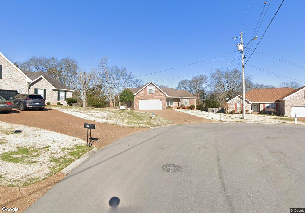
917 Thomastown Dr Smyrna, TN 37167
Estimated Value: $388,953 - $477,000
--
Bed
3
Baths
2,021
Sq Ft
$216/Sq Ft
Est. Value
About This Home
This home is located at 917 Thomastown Dr, Smyrna, TN 37167 and is currently estimated at $436,488, approximately $215 per square foot. 917 Thomastown Dr is a home located in Rutherford County with nearby schools including Rock Springs Elementary School, Rock Springs Middle School, and Stewarts Creek High School.
Ownership History
Date
Name
Owned For
Owner Type
Purchase Details
Closed on
Sep 22, 1999
Sold by
Gaines Home Building
Bought by
Noel Margaret D
Current Estimated Value
Home Financials for this Owner
Home Financials are based on the most recent Mortgage that was taken out on this home.
Original Mortgage
$118,700
Outstanding Balance
$35,380
Interest Rate
7.89%
Estimated Equity
$401,108
Create a Home Valuation Report for This Property
The Home Valuation Report is an in-depth analysis detailing your home's value as well as a comparison with similar homes in the area
Home Values in the Area
Average Home Value in this Area
Purchase History
| Date | Buyer | Sale Price | Title Company |
|---|---|---|---|
| Noel Margaret D | $148,450 | -- |
Source: Public Records
Mortgage History
| Date | Status | Borrower | Loan Amount |
|---|---|---|---|
| Open | Noel Margaret D | $118,700 |
Source: Public Records
Tax History Compared to Growth
Tax History
| Year | Tax Paid | Tax Assessment Tax Assessment Total Assessment is a certain percentage of the fair market value that is determined by local assessors to be the total taxable value of land and additions on the property. | Land | Improvement |
|---|---|---|---|---|
| 2025 | $1,335 | $89,600 | $13,750 | $75,850 |
| 2024 | $1,335 | $89,600 | $13,750 | $75,850 |
| 2023 | $1,335 | $89,600 | $13,750 | $75,850 |
| 2022 | $1,335 | $89,600 | $13,750 | $75,850 |
| 2021 | $1,335 | $62,325 | $12,500 | $49,825 |
| 2020 | $1,335 | $62,325 | $12,500 | $49,825 |
| 2019 | $1,335 | $62,325 | $12,500 | $49,825 |
| 2018 | $1,335 | $62,325 | $0 | $0 |
| 2017 | $1,335 | $40,875 | $0 | $0 |
| 2016 | $1,335 | $40,875 | $0 | $0 |
| 2015 | $1,335 | $40,875 | $0 | $0 |
| 2014 | $1,016 | $40,875 | $0 | $0 |
| 2013 | -- | $42,025 | $0 | $0 |
Source: Public Records
Map
Nearby Homes
- 649 Woodburn Dr
- 466 Blair Rd
- 464 Blair Rd
- 460 Blair Rd
- 269 Cornice Dr
- 456 Blair Rd
- 450 Blair Rd
- 440 Blair Rd
- 261 Cornice Dr
- 382 Clarkston Dr
- 262 Cornice Dr
- Walker Plan at Portico - Townhomes
- Winchester Plan at Portico
- Hunter Plan at Portico - Townhomes
- Wesley Plan at Portico - Townhomes
- Markham Plan at Portico
- Hancock Plan at Portico - Townhomes
- STONEBROOK II Plan at Pottsview
- MILFORD A Plan at Pottsview
- SALEM Plan at Pottsview
- 915 Thomastown Dr
- 914 Thomastown Dr
- 913 Thomastown Dr
- 912 Thomastown Dr
- 910 Thomastown Dr
- 1022 Don Blair Dr
- 911 Thomastown Dr
- 1020 Don Blair Dr
- 908 Thomastown Dr
- 811 Bristol Dr
- 1018 Don Blair Dr
- 809 Bristol Dr
- 813 Bristol Dr
- 909 Thomastown Dr
- 906 Thomastown Dr
- 815 Bristol Dr
- 1016 Don Blair Dr
- 807 Bristol Dr
- 1019 Don Blair Dr
- 907 Thomastown Dr