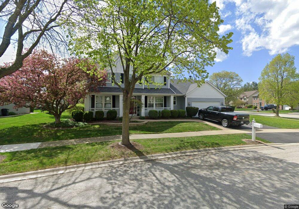
917 Vineyard Ln Aurora, IL 60502
Big Woods Marmion NeighborhoodEstimated Value: $540,878 - $575,000
4
Beds
--
Bath
2,592
Sq Ft
$216/Sq Ft
Est. Value
About This Home
This home is located at 917 Vineyard Ln, Aurora, IL 60502 and is currently estimated at $558,720, approximately $215 per square foot. 917 Vineyard Ln is a home located in Kane County with nearby schools including J B Nelson Elementary School, Sam Rotolo Middle School, and Batavia Sr High School.
Ownership History
Date
Name
Owned For
Owner Type
Purchase Details
Closed on
Oct 27, 1997
Sold by
First Bank Of Schaumburg
Bought by
Ruff Robert M and Ruff Marci D
Current Estimated Value
Home Financials for this Owner
Home Financials are based on the most recent Mortgage that was taken out on this home.
Original Mortgage
$182,000
Outstanding Balance
$30,133
Interest Rate
7.38%
Estimated Equity
$528,587
Create a Home Valuation Report for This Property
The Home Valuation Report is an in-depth analysis detailing your home's value as well as a comparison with similar homes in the area
Home Values in the Area
Average Home Value in this Area
Purchase History
| Date | Buyer | Sale Price | Title Company |
|---|---|---|---|
| Ruff Robert M | $152,000 | Chicago Title Insurance Co |
Source: Public Records
Mortgage History
| Date | Status | Borrower | Loan Amount |
|---|---|---|---|
| Open | Ruff Robert M | $182,000 |
Source: Public Records
Tax History
| Year | Tax Paid | Tax Assessment Tax Assessment Total Assessment is a certain percentage of the fair market value that is determined by local assessors to be the total taxable value of land and additions on the property. | Land | Improvement |
|---|---|---|---|---|
| 2024 | $12,978 | $158,586 | $28,469 | $130,117 |
| 2023 | $12,845 | $143,934 | $25,839 | $118,095 |
| 2022 | $12,749 | $137,931 | $24,149 | $113,782 |
| 2021 | $12,315 | $130,815 | $22,903 | $107,912 |
| 2020 | $12,101 | $128,301 | $22,463 | $105,838 |
| 2019 | $11,934 | $123,759 | $21,668 | $102,091 |
| 2018 | $11,428 | $119,045 | $20,843 | $98,202 |
| 2017 | $11,215 | $115,120 | $20,156 | $94,964 |
| 2016 | $11,063 | $111,767 | $19,569 | $92,198 |
| 2015 | -- | $109,222 | $19,123 | $90,099 |
| 2014 | -- | $105,784 | $18,521 | $87,263 |
| 2013 | -- | $103,179 | $21,365 | $81,814 |
Source: Public Records
Map
Nearby Homes
- 3020 Abbey Cir
- 3075 Mesa Ln
- 3018 Abbey Cir
- 3026 Abbey Cir
- 3024 Abbey Cir
- 3005 Abbey Cir
- 3001 Abbey Cir
- 3003 Abbey Cir
- 2007 Gillenwater St
- 527 Ridgelawn Trail
- 1705 South Ct
- 2047 Swan Ln
- 306 Carrie Ct
- 313 Carrie Ct
- 608 Spyglass Ct
- 1687 Sauk Dr
- 2940 Arbor Ln
- 63 Oak Creek Ct
- 2045 Stuttle Rd
- 2049 Stuttle Rd
Your Personal Tour Guide
Ask me questions while you tour the home.