9170 Fewtown Rd Deerfield, OH 44411
Estimated Value: $567,000 - $744,000
4
Beds
4
Baths
3,897
Sq Ft
$174/Sq Ft
Est. Value
About This Home
This home is located at 9170 Fewtown Rd, Deerfield, OH 44411 and is currently estimated at $678,710, approximately $174 per square foot. 9170 Fewtown Rd is a home with nearby schools including Southeast High School.
Ownership History
Date
Name
Owned For
Owner Type
Purchase Details
Closed on
Apr 29, 2020
Sold by
Hecker Betty J
Bought by
Davis Robert L
Current Estimated Value
Purchase Details
Closed on
Nov 20, 2017
Sold by
Estate Of Wendell Jones
Bought by
Jones Phillip and Jones Jeffrey Blaine
Purchase Details
Closed on
Aug 2, 2017
Sold by
Estate Of Pauline C Jones Henderson
Bought by
Hicks Debra Dell and Biount Janet Ruth
Purchase Details
Closed on
Mar 31, 1999
Sold by
Ferris Mary L and Peterson Mary L Ferris
Bought by
Hecker Howard J and Hecker Betty J
Purchase Details
Closed on
Jan 1, 1990
Bought by
Ferris Mary L
Create a Home Valuation Report for This Property
The Home Valuation Report is an in-depth analysis detailing your home's value as well as a comparison with similar homes in the area
Home Values in the Area
Average Home Value in this Area
Purchase History
| Date | Buyer | Sale Price | Title Company |
|---|---|---|---|
| Davis Robert L | $415,000 | None Available | |
| Jones Phillip | -- | None Available | |
| Hicks Debra Dell | -- | None Available | |
| Hecker Howard J | $75,000 | -- | |
| Ferris Mary L | -- | -- |
Source: Public Records
Tax History Compared to Growth
Tax History
| Year | Tax Paid | Tax Assessment Tax Assessment Total Assessment is a certain percentage of the fair market value that is determined by local assessors to be the total taxable value of land and additions on the property. | Land | Improvement |
|---|---|---|---|---|
| 2024 | $10,082 | $284,730 | $41,060 | $243,670 |
| 2023 | $6,969 | $178,440 | $34,060 | $144,380 |
| 2022 | $6,512 | $160,340 | $34,060 | $126,280 |
| 2021 | $3,435 | $83,620 | $34,060 | $49,560 |
| 2020 | $1,320 | $30,660 | $27,230 | $3,430 |
| 2019 | $1,324 | $30,660 | $27,230 | $3,430 |
| 2018 | $1,267 | $27,720 | $24,640 | $3,080 |
| 2017 | $1,267 | $27,720 | $24,640 | $3,080 |
| 2016 | $1,263 | $27,720 | $24,640 | $3,080 |
| 2015 | $1,266 | $27,720 | $24,640 | $3,080 |
| 2014 | $1,188 | $25,480 | $22,400 | $3,080 |
| 2013 | $1,176 | $25,480 | $22,400 | $3,080 |
Source: Public Records
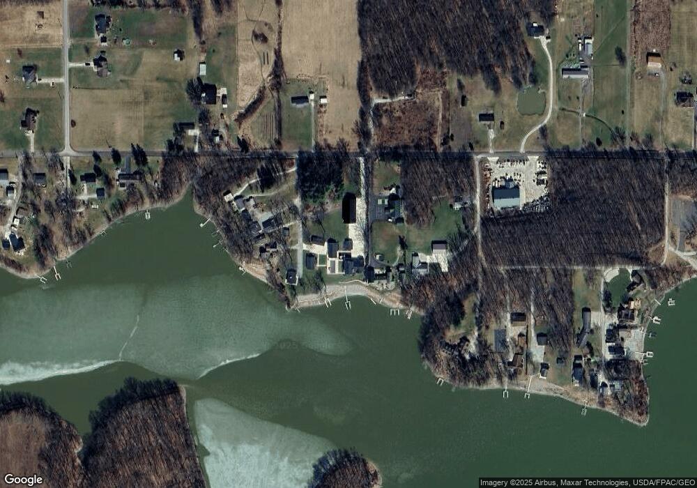
Map
Nearby Homes
- 1060 State Route 14
- 9663 Berlin Heights Dr
- 20871 N Benton Rd W
- 1731 Ohio 225
- 0 Ohio 14
- 1864 State Route 225
- 10569 Shadyside Ln
- 105 Hartzell Rd
- 10745 Leffingwell Rd
- 10985 Johnson Rd
- 2332 McClintocksburg Rd
- 2171 Alliance Rd
- 1440 Porter Rd
- 0 Knoll St NE
- 15789 Coalbank St NE
- 11030 12th St
- 15520 Coalbank St NE
- 5925 Bedell Rd
- 2953 State Route 225
- 13975 Greenbower St NE
- 9156 Fewtown Rd
- 9182 Fewtown Rd
- 611 Valmont Dr
- 617 Valmont Dr
- 625 Valmont Dr
- 633 Valmont Dr
- 9208 Sheridans
- 641 Valmont Dr
- 651 Valmont Dr
- 647 Valmont Dr
- 9226 Marshall Rd
- 9113 Fewtown Rd
- V/L Fewtown Rd
- 9233 Fewtown Rd
- 9256 Marshall Rd
- 9254 Marshall Rd
- 9084 Fewtown Rd
- 587 Timmons Dr
- 579 Timmons Dr
- 9062 Fewtown Rd