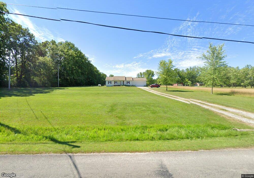
9170 Yale Rd Deerfield, OH 44411
Estimated Value: $224,000 - $282,000
4
Beds
1
Bath
1,440
Sq Ft
$181/Sq Ft
Est. Value
About This Home
This home is located at 9170 Yale Rd, Deerfield, OH 44411 and is currently estimated at $261,012, approximately $181 per square foot. 9170 Yale Rd is a home located in Portage County with nearby schools including Southeast High School.
Ownership History
Date
Name
Owned For
Owner Type
Purchase Details
Closed on
Feb 9, 2023
Sold by
Mix Tom J and Mix Ila Z
Bought by
Mix Tom J and Mix Ila Z
Current Estimated Value
Purchase Details
Closed on
Dec 31, 2014
Sold by
Mix Daniel J and Mix Heather L
Bought by
Mix Tom J and Mix Ila Z
Purchase Details
Closed on
Oct 4, 2005
Sold by
Mix Tom J and Mix Ila Z
Bought by
Mix Daniel J and Mix Heather L
Create a Home Valuation Report for This Property
The Home Valuation Report is an in-depth analysis detailing your home's value as well as a comparison with similar homes in the area
Home Values in the Area
Average Home Value in this Area
Purchase History
| Date | Buyer | Sale Price | Title Company |
|---|---|---|---|
| Mix Tom J | -- | -- | |
| Mix Tom J | $111,100 | None Available | |
| Mix Daniel J | $90,000 | -- |
Source: Public Records
Tax History Compared to Growth
Tax History
| Year | Tax Paid | Tax Assessment Tax Assessment Total Assessment is a certain percentage of the fair market value that is determined by local assessors to be the total taxable value of land and additions on the property. | Land | Improvement |
|---|---|---|---|---|
| 2024 | $2,906 | $81,700 | $9,490 | $72,210 |
| 2023 | $2,452 | $62,480 | $6,790 | $55,690 |
| 2022 | $2,549 | $62,480 | $6,790 | $55,690 |
| 2021 | $2,571 | $62,480 | $6,790 | $55,690 |
| 2020 | $2,071 | $48,340 | $6,790 | $41,550 |
| 2019 | $2,076 | $48,340 | $6,790 | $41,550 |
| 2018 | $1,986 | $43,680 | $6,510 | $37,170 |
| 2017 | $1,986 | $43,680 | $6,510 | $37,170 |
| 2016 | $1,979 | $43,680 | $6,510 | $37,170 |
| 2015 | $1,984 | $43,680 | $6,510 | $37,170 |
| 2014 | $1,972 | $43,680 | $6,510 | $37,170 |
| 2013 | $1,951 | $43,680 | $6,510 | $37,170 |
Source: Public Records
Map
Nearby Homes
- 2953 State Route 225
- V/L State Route 225
- 1864 State Route 225
- 2332 McClintocksburg Rd
- 0 Ohio 14
- 1731 Ohio 225
- 3609 State Route 225
- 3642 State Route 225
- 2171 Alliance Rd
- 3595 McClintocksburg Rd
- 2880 State Route 14
- 9408 Tallmadge Rd
- 0 Ohio 225 Unit 5151977
- 3330 Jones Rd
- 1060 State Route 14
- 9663 Berlin Heights Dr
- 1135 Mahoning Portage County Line Rd
- 17801 Ellsworth Rd
- 10575 Tallmadge Rd
- 0 Wayland Rd Unit 5153001