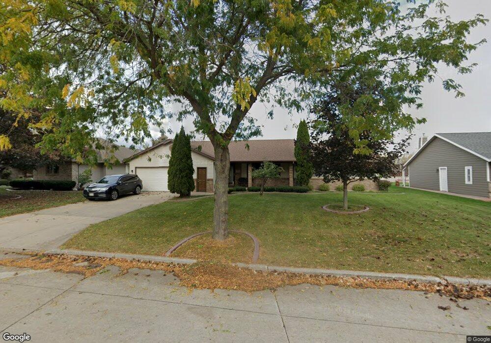
918 E Mayfield Dr Appleton, WI 54911
North Appleton NeighborhoodEstimated Value: $300,000 - $453,905
3
Beds
4
Baths
3,248
Sq Ft
$118/Sq Ft
Est. Value
About This Home
This home is located at 918 E Mayfield Dr, Appleton, WI 54911 and is currently estimated at $384,476, approximately $118 per square foot. 918 E Mayfield Dr is a home located in Outagamie County with nearby schools including Ferber Elementary School, Einstein Middle School, and Appleton North High School.
Ownership History
Date
Name
Owned For
Owner Type
Purchase Details
Closed on
Aug 22, 2024
Sold by
Yang Pao and Vang Seng
Bought by
Vang Kay Yang
Current Estimated Value
Purchase Details
Closed on
Jul 10, 2020
Sold by
Yang Blong
Bought by
Yang Pao
Purchase Details
Closed on
Oct 25, 2010
Sold by
Fraser James T and Fraser Leslie A
Bought by
Yang Blong
Create a Home Valuation Report for This Property
The Home Valuation Report is an in-depth analysis detailing your home's value as well as a comparison with similar homes in the area
Home Values in the Area
Average Home Value in this Area
Purchase History
| Date | Buyer | Sale Price | Title Company |
|---|---|---|---|
| Vang Kay Yang | $189,000 | First American Title Insurance | |
| Yang Pao | $119,000 | -- | |
| Yang Blong | $129,900 | -- |
Source: Public Records
Tax History
| Year | Tax Paid | Tax Assessment Tax Assessment Total Assessment is a certain percentage of the fair market value that is determined by local assessors to be the total taxable value of land and additions on the property. | Land | Improvement |
|---|---|---|---|---|
| 2023 | $5,357 | $333,300 | $45,100 | $288,200 |
| 2022 | $4,634 | $214,600 | $35,900 | $178,700 |
| 2021 | $4,436 | $214,600 | $35,900 | $178,700 |
| 2020 | $4,347 | $214,600 | $35,900 | $178,700 |
| 2019 | $4,251 | $214,600 | $35,900 | $178,700 |
| 2018 | $3,804 | $168,900 | $29,100 | $139,800 |
| 2017 | $3,735 | $168,900 | $29,100 | $139,800 |
| 2016 | $3,683 | $168,900 | $29,100 | $139,800 |
| 2015 | $3,726 | $168,900 | $29,100 | $139,800 |
| 2014 | $3,699 | $168,900 | $29,100 | $139,800 |
| 2013 | $3,705 | $168,900 | $29,100 | $139,800 |
Source: Public Records
Map
Nearby Homes
- 2916 N Rankin St
- 1801 N Racine St
- 433 E Parkway Blvd
- 3407 N Windward Ln
- 8 Fiesta Ct Unit E
- 3401 N Fiesta Dr
- 1009 E Northwood Dr
- 4124 N Wedgewood Dr
- 921 E Windfield Place Unit A
- 841 E Windfield Place
- 701 E Longview Dr
- 2940 N Oneida St
- 4207 N Tigerlily Dr
- 4401 N Haymeadow Ave
- 125 E Wayfarer Ln
- 36 Apache Ct
- 321 E Apple Creek Rd
- 1011 E Lindbergh St
- 5975 N Meade St
- 525 W Wayfarer Ct
- 910 E Mayfield Dr
- 900 E Mayfield Dr
- 917 E Mayfield Dr
- 0 E Mayfield Dr
- 909 E Mayfield Dr
- 832 E Mayfield Dr
- 901 E Mayfield Dr
- 3616 N Bracken Dr
- 943 E Mayfield Dr
- 839 E Mayfield Dr
- 950 E Mayfield Dr
- 3608 N Bracken Dr
- 823 E Mayfield Dr
- 3600 N Bracken Dr
- 3632 N Winterset Dr
- 815 E Mayfield Dr
- 3616 N Winterset Dr
- 3605 N Winterset Dr
- 3608 N Winterset Dr
- 3600 N Rankin St
Your Personal Tour Guide
Ask me questions while you tour the home.