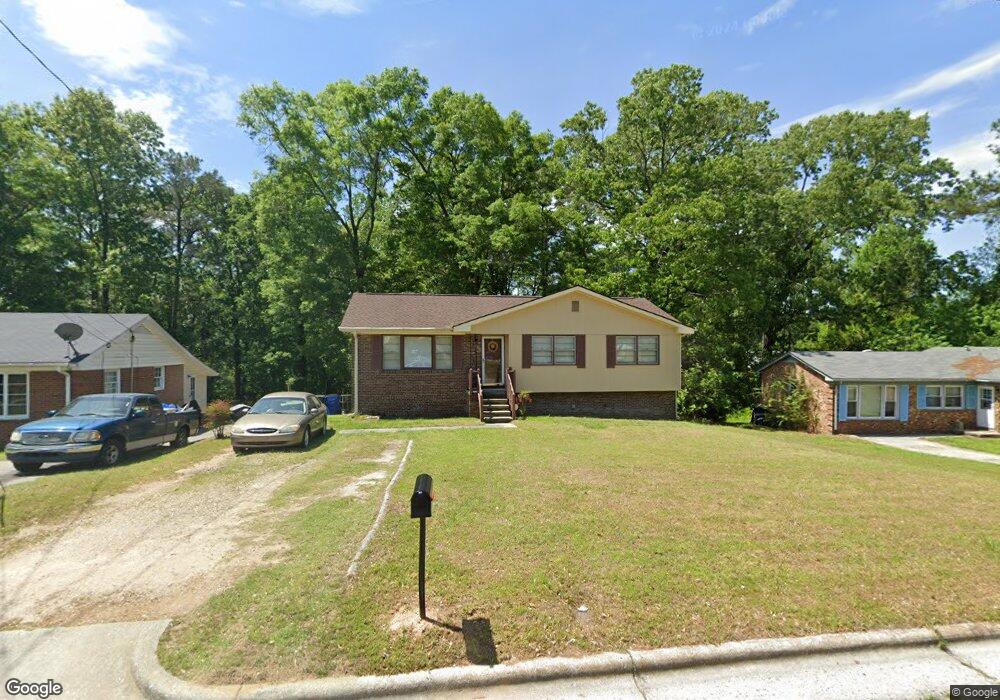
918 Edison Rd Raleigh, NC 27610
Walnut Creek NeighborhoodEstimated Value: $314,594 - $383,000
--
Bed
2
Baths
1,750
Sq Ft
$193/Sq Ft
Est. Value
About This Home
This home is located at 918 Edison Rd, Raleigh, NC 27610 and is currently estimated at $337,649, approximately $192 per square foot. 918 Edison Rd is a home located in Wake County with nearby schools including Bugg Elementary, Ligon Magnet Middle School, and Enloe High.
Ownership History
Date
Name
Owned For
Owner Type
Purchase Details
Closed on
Nov 4, 2018
Sold by
Clark Wandaly J and Clark Michael E
Bought by
Clark Wandaly J and Clark Michael E
Current Estimated Value
Purchase Details
Closed on
Jul 11, 2018
Sold by
Clark Wandaly J and Clark Michael E
Bought by
Clark Wandaly J
Purchase Details
Closed on
Jan 19, 2007
Sold by
Jones Norvia H
Bought by
Jones Nord Ellis and Clark Wandaly J
Purchase Details
Closed on
Jan 1, 1977
Bought by
Jones Nord Ellis and Clark Wandaly J
Create a Home Valuation Report for This Property
The Home Valuation Report is an in-depth analysis detailing your home's value as well as a comparison with similar homes in the area
Home Values in the Area
Average Home Value in this Area
Purchase History
| Date | Buyer | Sale Price | Title Company |
|---|---|---|---|
| Clark Wandaly J | -- | None Listed On Document | |
| Clark Wandaly J | -- | None Listed On Document | |
| Clark Wandaly J | -- | None Available | |
| Jones Nord Ellis | -- | None Available | |
| Jones Nord Ellis | $32,500 | -- |
Source: Public Records
Tax History Compared to Growth
Tax History
| Year | Tax Paid | Tax Assessment Tax Assessment Total Assessment is a certain percentage of the fair market value that is determined by local assessors to be the total taxable value of land and additions on the property. | Land | Improvement |
|---|---|---|---|---|
| 2025 | $2,198 | $249,754 | $100,000 | $149,754 |
| 2024 | $2,189 | $249,754 | $100,000 | $149,754 |
| 2023 | $1,623 | $147,089 | $40,000 | $107,089 |
| 2022 | $1,509 | $147,089 | $40,000 | $107,089 |
| 2021 | $1,451 | $147,089 | $40,000 | $107,089 |
| 2020 | $1,425 | $147,089 | $40,000 | $107,089 |
| 2019 | $1,385 | $117,771 | $30,000 | $87,771 |
| 2018 | $1,307 | $117,771 | $30,000 | $87,771 |
| 2017 | $1,245 | $117,771 | $30,000 | $87,771 |
| 2016 | $1,220 | $117,771 | $30,000 | $87,771 |
| 2015 | $1,253 | $119,067 | $30,000 | $89,067 |
| 2014 | $1,189 | $119,067 | $30,000 | $89,067 |
Source: Public Records
Map
Nearby Homes
- 644 Sunnybrook Rd
- 640 Sunnybrook Rd
- 630 Sunnybrook Rd
- 620 Sunnybrook Rd
- 3305 Friar Tuck Rd
- 3204 Friar Tuck Rd
- 1320 Londonderry Cir
- 708 Saint George Rd
- 737 Carlisle St
- 2925 Gladstone Dr
- 720 Rawls Dr
- 1019 Greenwich St
- 1229 Beverly Dr
- 3404 Baton Rd
- 407 Sustainable Way
- 3325 Woodmeadow Pkwy
- 3408 Sosa Rd
- 424 Nomar Rd
- 3805 Mike Levi Ct
- 2601 Bristol Place