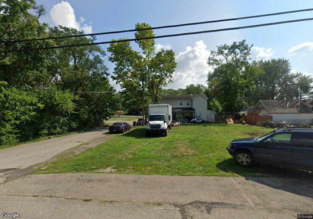
918 Forrer St Middletown, OH 45044
Amanda-Oneida NeighborhoodEstimated Value: $138,000 - $418,000
2
Beds
1
Bath
808
Sq Ft
$295/Sq Ft
Est. Value
About This Home
This home is located at 918 Forrer St, Middletown, OH 45044 and is currently estimated at $238,333, approximately $294 per square foot. 918 Forrer St is a home located in Butler County with nearby schools including Amanda Elementary School, Highview 6th Grade Center, and Middletown Middle School.
Ownership History
Date
Name
Owned For
Owner Type
Purchase Details
Closed on
Nov 12, 2018
Sold by
Hurst Roger D and Hurst Sandra
Bought by
Roberts Todd
Current Estimated Value
Purchase Details
Closed on
Jul 26, 2018
Sold by
State Of Ohio
Bought by
State Of Ohio Forfeited Land Sale
Purchase Details
Closed on
Jun 18, 2018
Sold by
Ralston Al D
Bought by
State Of Ohio Forfeited Land Sale
Purchase Details
Closed on
Aug 29, 2003
Sold by
Gray Clyde and Gray Sandra
Bought by
Ralston Al D and Ralston Charlotte
Home Financials for this Owner
Home Financials are based on the most recent Mortgage that was taken out on this home.
Original Mortgage
$28,000
Interest Rate
6.44%
Mortgage Type
Purchase Money Mortgage
Purchase Details
Closed on
Jun 27, 2003
Sold by
Fitzwater Joyce E
Bought by
Gray Clyde and Gray Sandra
Purchase Details
Closed on
Aug 1, 1985
Purchase Details
Closed on
May 1, 1985
Create a Home Valuation Report for This Property
The Home Valuation Report is an in-depth analysis detailing your home's value as well as a comparison with similar homes in the area
Home Values in the Area
Average Home Value in this Area
Purchase History
| Date | Buyer | Sale Price | Title Company |
|---|---|---|---|
| Roberts Todd | -- | None Available | |
| State Of Ohio Forfeited Land Sale | -- | -- | |
| State Of Ohio Forfeited Land Sale | -- | -- | |
| Ralston Al D | $29,500 | -- | |
| Gray Clyde | $20,000 | -- | |
| -- | $25,500 | -- | |
| -- | $12,000 | -- |
Source: Public Records
Mortgage History
| Date | Status | Borrower | Loan Amount |
|---|---|---|---|
| Previous Owner | Ralston Al D | $28,000 |
Source: Public Records
Tax History Compared to Growth
Tax History
| Year | Tax Paid | Tax Assessment Tax Assessment Total Assessment is a certain percentage of the fair market value that is determined by local assessors to be the total taxable value of land and additions on the property. | Land | Improvement |
|---|---|---|---|---|
| 2024 | $45 | $330 | $330 | -- |
| 2023 | $37 | $330 | $330 | -- |
| 2022 | $40 | $330 | $330 | $0 |
| 2021 | $39 | $330 | $330 | $0 |
| 2020 | $40 | $330 | $330 | $0 |
| 2019 | $243 | $3,430 | $3,430 | $0 |
| 2018 | $242 | $3,430 | $3,430 | $0 |
| 2017 | $222 | $3,430 | $3,430 | $0 |
| 2016 | $495 | $7,210 | $3,430 | $3,780 |
| 2015 | $714 | $11,000 | $3,430 | $7,570 |
| 2014 | $3,060 | $11,000 | $3,430 | $7,570 |
| 2013 | $3,060 | $12,920 | $3,430 | $9,490 |
Source: Public Records
Map
Nearby Homes
- 0 Jackson St Unit 895859
- 0 Jackson St Unit 1780028
- 1102 Forrer St
- 720 Diamond Loop
- 3109 Locust St
- 3113 Rufus St
- 3107 Rufus St
- 3209 Rufus St
- 514 Granada Ave
- 712 Buena Ave
- 2900 Morgan St
- 3620 S Main St
- 1613 Sheridan Ave
- 1602 Oxford State Rd
- 1702 Glenwood Ave
- 1709 Oxford State Rd
- 1717 Pershing Ave
- 2004 Minnesota St
- 1511 Meadow Ave
- 3221 Yankee Rd
- 916 Forrer St
- 920 Forrer St
- 3210 Mulberry St
- 3125 Harrison St
- 3125 Harrison St Unit 2
- 3211 3211 Harrison St
- 3211 Harrison St
- 3123 Harrison St
- 3201 Harrison St
- 915 Oxford State Rd
- 921 Oxford State Rd
- 911 Oxford State Rd
- 1/2 Forrer St
- 3202 Harrison St
- 1000 Forrer St
- 3118 Harrison St
- 1001 Jackson Ln
- 3217 S Verity Pkwy
- 918 Oxford State Rd
- 926 Oxford State Rd