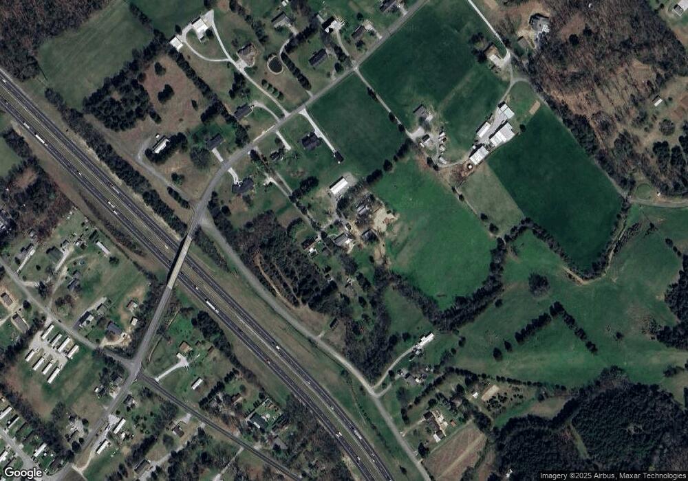
918 Mountain Rd Clinton, TN 37716
East Clinton NeighborhoodEstimated Value: $333,000 - $531,140
--
Bed
2
Baths
1,378
Sq Ft
$334/Sq Ft
Est. Value
About This Home
This home is located at 918 Mountain Rd, Clinton, TN 37716 and is currently estimated at $460,785, approximately $334 per square foot. 918 Mountain Rd is a home located in Anderson County with nearby schools including Norris Elementary School and Norris Middle School.
Ownership History
Date
Name
Owned For
Owner Type
Purchase Details
Closed on
Aug 16, 2018
Sold by
Gouffon Twilla
Bought by
Roscicki Christina L and Scruggs Kenneth A
Current Estimated Value
Home Financials for this Owner
Home Financials are based on the most recent Mortgage that was taken out on this home.
Original Mortgage
$225,000
Outstanding Balance
$137,348
Interest Rate
4.5%
Mortgage Type
New Conventional
Estimated Equity
$323,437
Purchase Details
Closed on
Mar 8, 2018
Sold by
Gouffon Twilla and Cox Geraldine
Bought by
Gouffon Twilla
Create a Home Valuation Report for This Property
The Home Valuation Report is an in-depth analysis detailing your home's value as well as a comparison with similar homes in the area
Home Values in the Area
Average Home Value in this Area
Purchase History
| Date | Buyer | Sale Price | Title Company |
|---|---|---|---|
| Roscicki Christina L | $250,000 | None Available | |
| Gouffon Twilla | -- | None Available |
Source: Public Records
Mortgage History
| Date | Status | Borrower | Loan Amount |
|---|---|---|---|
| Open | Roscicki Christina L | $225,000 |
Source: Public Records
Tax History Compared to Growth
Tax History
| Year | Tax Paid | Tax Assessment Tax Assessment Total Assessment is a certain percentage of the fair market value that is determined by local assessors to be the total taxable value of land and additions on the property. | Land | Improvement |
|---|---|---|---|---|
| 2024 | $2,221 | $84,475 | $36,225 | $48,250 |
| 2023 | $2,067 | $84,475 | $0 | $0 |
| 2022 | $2,067 | $78,625 | $36,225 | $42,400 |
| 2021 | $1,690 | $64,300 | $36,225 | $28,075 |
| 2020 | $1,374 | $64,300 | $36,225 | $28,075 |
| 2019 | $1,423 | $49,225 | $28,975 | $20,250 |
| 2018 | $1,374 | $49,225 | $28,975 | $20,250 |
| 2017 | $1,387 | $49,700 | $29,450 | $20,250 |
| 2016 | $1,387 | $49,700 | $29,450 | $20,250 |
| 2015 | -- | $51,375 | $29,450 | $21,925 |
| 2014 | -- | $51,375 | $29,450 | $21,925 |
| 2013 | -- | $54,475 | $0 | $0 |
Source: Public Records
Map
Nearby Homes
- 285 Joe Owen Rd
- 180 Wallace Farm Ln
- 6 Lilac Ct
- 145 Grace Cir
- 649 Jade Ct
- 124 Pheasant Rd
- 229 Doe Run Blvd
- 174 Flagstone Way
- 2902 Andersonville Hwy
- 883 Joseph Francis Way
- 2025 N Charles G Seivers Blvd
- 887 Joseph Francis Way
- 884 Joseph Francis Way
- 888 Joseph Francis Way
- 860 Joseph Francis Way
- 208 Cornerstone Cir
- Glendale Plan at Mary's Pointe
- Richland Plan at Mary's Pointe
- Aria Plan at Mary's Pointe
- Madison Plan at Mary's Pointe
- 916 Mountain Rd
- 945 Mountain Rd
- 945 Mountain Rd
- 922 Mountain Rd
- 910 Mountain Rd
- 919 Mountain Rd
- 939 Mountain Rd
- 911 Mountain Rd
- 147 Cox Loy Ln
- 925 Mountain Rd
- 953 Mountain Rd
- 933 Mountain Rd
- 990 Mountain Rd
- 901 Mountain Rd
- 159 Cox Loy Ln
- 305 Buffalo Rd
- 325 Brooks Gap Rd
- 970 Mountain Rd
- 0 Mountain Rd
- 748 Bethel Rd
