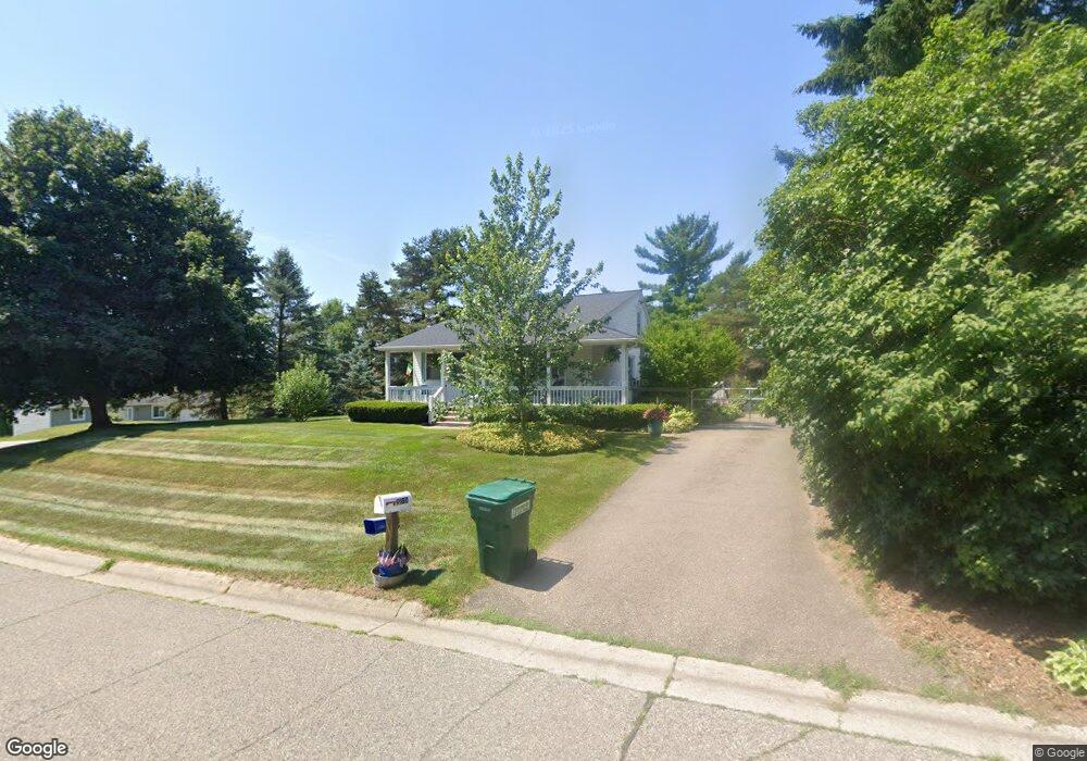
9180 Davisburg Rd Clarkston, MI 48348
Estimated Value: $245,981 - $336,000
3
Beds
1
Bath
1,512
Sq Ft
$193/Sq Ft
Est. Value
About This Home
This home is located at 9180 Davisburg Rd, Clarkston, MI 48348 and is currently estimated at $291,495, approximately $192 per square foot. 9180 Davisburg Rd is a home located in Oakland County with nearby schools including Springfield Christian Academy.
Ownership History
Date
Name
Owned For
Owner Type
Purchase Details
Closed on
Jul 23, 2004
Sold by
Brown Lonnie D and Brown Lisa L
Bought by
Sexton Bradley and Sexton Patricia
Current Estimated Value
Home Financials for this Owner
Home Financials are based on the most recent Mortgage that was taken out on this home.
Original Mortgage
$134,500
Outstanding Balance
$67,721
Interest Rate
6.34%
Mortgage Type
Purchase Money Mortgage
Estimated Equity
$223,774
Purchase Details
Closed on
Mar 24, 2000
Sold by
Roeser Michael L
Bought by
Brown Lonnie D
Create a Home Valuation Report for This Property
The Home Valuation Report is an in-depth analysis detailing your home's value as well as a comparison with similar homes in the area
Home Values in the Area
Average Home Value in this Area
Purchase History
| Date | Buyer | Sale Price | Title Company |
|---|---|---|---|
| Sexton Bradley | $168,500 | Metropolitan Title Company | |
| Brown Lonnie D | $148,000 | -- |
Source: Public Records
Mortgage History
| Date | Status | Borrower | Loan Amount |
|---|---|---|---|
| Open | Sexton Bradley | $134,500 | |
| Closed | Brown Lonnie D | $0 |
Source: Public Records
Tax History Compared to Growth
Tax History
| Year | Tax Paid | Tax Assessment Tax Assessment Total Assessment is a certain percentage of the fair market value that is determined by local assessors to be the total taxable value of land and additions on the property. | Land | Improvement |
|---|---|---|---|---|
| 2024 | $1,367 | $89,990 | $0 | $0 |
| 2023 | $1,304 | $87,290 | $0 | $0 |
| 2022 | $1,809 | $81,260 | $0 | $0 |
| 2021 | $1,663 | $89,340 | $0 | $0 |
| 2020 | $1,194 | $89,800 | $0 | $0 |
| 2018 | $1,609 | $79,400 | $14,400 | $65,000 |
| 2015 | -- | $55,500 | $0 | $0 |
| 2014 | -- | $51,600 | $0 | $0 |
| 2011 | -- | $56,900 | $0 | $0 |
Source: Public Records
Map
Nearby Homes
- 8453 Harbortowne Dr
- 8700 Clarridge Rd
- 8410 S Shore Dr Unit 29
- 9635 Norman Rd
- 9580 Dixie Hwy
- 0 Dixie Hwy Unit 20251027429
- 8911 Tartan Dr
- 9866 Dixie Hwy
- 9876 Dixie Hwy
- 9765 Dixie Hwy
- 9266 Hillcrest
- 9128 Kelly Lake Dr
- 9877 Dixie Hwy
- 7565 Old Pond Dr
- 10086 King Rd
- 8485 Waumegah Rd
- 9150 Rattalee Lake Rd
- 9909 Kingston Ridge Unit 44
- 9933 Kingston Ridge Unit 43
- 10145 Creekwood Trail
- 8425 Clarridge Rd
- 9200 Davisburg Rd
- 8436 Clarridge Rd
- 9201 Davisburg Rd
- 9160 Davisburg Rd
- 8450 Clarridge Rd
- 9220 Davisburg Rd
- 8456 Clarridge Rd
- 9156 Davisburg Rd
- 9177 Davisburg Rd
- 8493 Clarridge Rd
- 8476 Clarridge Rd
- 8501 Clarridge Rd
- 9140 Davisburg Rd
- 8500 Clarridge Rd
- 8546 Harbortowne Cir
- 9225 Davisburg Rd
- 9155 Davisburg Rd
- 9235 Davisburg Rd
- 8558 Harbortowne Cir