9184 Wilson Cove Rd Canastota, NY 13032
Estimated Value: $203,000 - $230,000
3
Beds
2
Baths
1,368
Sq Ft
$159/Sq Ft
Est. Value
About This Home
This home is located at 9184 Wilson Cove Rd, Canastota, NY 13032 and is currently estimated at $217,116, approximately $158 per square foot. 9184 Wilson Cove Rd is a home located in Madison County with nearby schools including Peterboro Street Elementary School, Roberts Street Middle School, and South Side Elementary School.
Ownership History
Date
Name
Owned For
Owner Type
Purchase Details
Closed on
Sep 2, 2015
Sold by
Mcintyre Leslie
Bought by
Mcintyre Irrevocable Tr
Current Estimated Value
Purchase Details
Closed on
Jul 10, 2000
Sold by
Sikorski Joseph
Bought by
Sikorski Joseph
Purchase Details
Closed on
Oct 16, 1995
Bought by
Stewart Wattenbe
Purchase Details
Closed on
Aug 2, 1995
Sold by
Hunter Estate Of David C
Bought by
Whiting Leslie L
Create a Home Valuation Report for This Property
The Home Valuation Report is an in-depth analysis detailing your home's value as well as a comparison with similar homes in the area
Home Values in the Area
Average Home Value in this Area
Purchase History
| Date | Buyer | Sale Price | Title Company |
|---|---|---|---|
| Mcintyre Irrevocable Tr | -- | Stephen T Mcmahon | |
| Sikorski Joseph | -- | Ellen Priest | |
| Stewart Wattenbe | -- | -- | |
| Whiting Leslie L | $34,500 | -- |
Source: Public Records
Tax History Compared to Growth
Tax History
| Year | Tax Paid | Tax Assessment Tax Assessment Total Assessment is a certain percentage of the fair market value that is determined by local assessors to be the total taxable value of land and additions on the property. | Land | Improvement |
|---|---|---|---|---|
| 2024 | $4,235 | $89,200 | $14,400 | $74,800 |
| 2023 | $4,170 | $89,200 | $14,400 | $74,800 |
| 2022 | $3,972 | $89,200 | $14,400 | $74,800 |
| 2021 | $3,967 | $89,200 | $14,400 | $74,800 |
| 2020 | $2,397 | $89,200 | $14,400 | $74,800 |
| 2019 | $2,281 | $89,200 | $14,400 | $74,800 |
| 2018 | $2,281 | $89,200 | $14,400 | $74,800 |
| 2017 | $3,155 | $89,200 | $14,400 | $74,800 |
| 2016 | $2,183 | $89,200 | $14,400 | $74,800 |
| 2015 | -- | $89,200 | $14,400 | $74,800 |
| 2014 | -- | $89,200 | $14,400 | $74,800 |
Source: Public Records
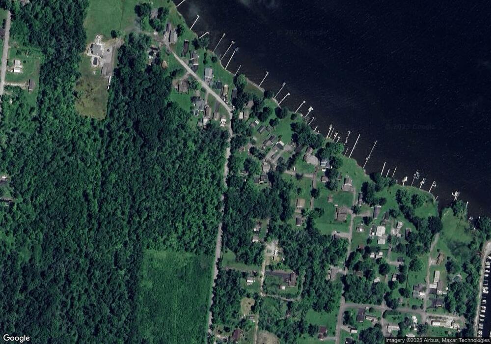
Map
Nearby Homes
- 9175 Briggs Bay Rd
- 9052 Edward O'Hara Ave
- 9162 Arthur Jenkins Rd
- 9114 Briggs Bay Rd
- 9106 Arthur Jenkins Rd
- 9181 Old Orchard Rd
- 9663 Lewis Point Rd
- 0 Stephens Rd Unit S1580888
- 3064 State Route 31
- 4020 State Route 31
- 6752 Lakeshore Rd S
- 6638 Lakeshore Rd S
- 2811 White Haven Rd Unit 2
- 9081 Kohles Ln
- 6781 Miller Rd
- 2321 Oneida St
- 6822 Main St
- 228 8th Ave
- 220 Akehurst Ave
- 219-231 Akehurst Ave
- 3464 Cleveland Place
- 3470 Cleveland Place
- 3463 Cleveland Place
- 3469 Cleveland Place
- 3459 Cleveland Place
- 3461 Cleveland Place
- 9159 Briggs Bay Rd
- 9199 Wilson Cove Rd
- 9198 Wilson Cove Rd
- 3475 Cleveland Place
- 3471 Cleveland Place
- 9205 Wilson Cove Rd
- 9079 Ohara Ave
- 9209 Wilson Cove Rd
- 9077 Ohara Ave
- 9103 Ohara Ave
- 9202 Wilson Cove Rd
- 9213 Wilson Cove Rd
- 9096 Ohara Ave
- 9102 Ohara Ave