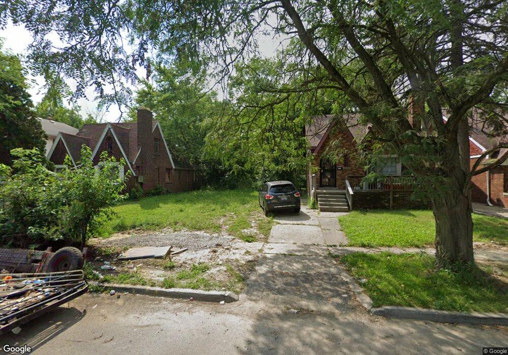
9187 Pinehurst St Detroit, MI 48204
Barton-McFarland NeighborhoodEstimated Value: $48,000 - $175,322
--
Bed
1
Bath
1,031
Sq Ft
$111/Sq Ft
Est. Value
About This Home
This home is located at 9187 Pinehurst St, Detroit, MI 48204 and is currently estimated at $114,081, approximately $110 per square foot. 9187 Pinehurst St is a home located in Wayne County with nearby schools including Bates Academy, Charles L. Spain Elementary-Middle School, and Edward 'Duke' Ellington Conservatory of Music and Art.
Ownership History
Date
Name
Owned For
Owner Type
Purchase Details
Closed on
Aug 9, 2021
Sold by
Detroit Land Bank Authority
Bought by
Isa Adel
Current Estimated Value
Purchase Details
Closed on
Jan 6, 2015
Sold by
Wayne County Treasurer
Bought by
Detroit Land Bank Authority
Purchase Details
Closed on
Nov 18, 2011
Sold by
Wojtowicz Raymond J
Bought by
City Rentals Llc
Purchase Details
Closed on
Jul 18, 2007
Sold by
Khtj Properties Llc
Bought by
Jones Joey
Purchase Details
Closed on
Apr 20, 2006
Sold by
Cade Michael and Cade Valencia R
Bought by
Manufacturers & Traders Trust Co and Securitization Series 1997-5
Create a Home Valuation Report for This Property
The Home Valuation Report is an in-depth analysis detailing your home's value as well as a comparison with similar homes in the area
Home Values in the Area
Average Home Value in this Area
Purchase History
| Date | Buyer | Sale Price | Title Company |
|---|---|---|---|
| Isa Adel | -- | None Available | |
| Detroit Land Bank Authority | -- | None Available | |
| City Rentals Llc | $500 | None Available | |
| Jones Joey | $90,000 | Multiple | |
| Manufacturers & Traders Trust Co | $53,768 | None Available |
Source: Public Records
Tax History Compared to Growth
Tax History
| Year | Tax Paid | Tax Assessment Tax Assessment Total Assessment is a certain percentage of the fair market value that is determined by local assessors to be the total taxable value of land and additions on the property. | Land | Improvement |
|---|---|---|---|---|
| 2025 | $38 | $1,500 | $0 | $0 |
| 2024 | $38 | $500 | $0 | $0 |
| 2023 | $38 | $500 | $0 | $0 |
| 2022 | -- | $0 | $0 | $0 |
| 2021 | $0 | $0 | $0 | $0 |
| 2020 | $2,464 | $0 | $0 | $0 |
| 2019 | $2,464 | $0 | $0 | $0 |
| 2018 | $0 | $0 | $0 | $0 |
| 2017 | $1,620 | $0 | $0 | $0 |
| 2016 | $1,620 | $16,200 | $0 | $0 |
| 2015 | $1,620 | $16,200 | $0 | $0 |
| 2013 | $2,271 | $22,705 | $0 | $0 |
| 2010 | -- | $32,533 | $716 | $31,817 |
Source: Public Records
Map
Nearby Homes
- 9214 Pinehurst St
- 9248 Manor St
- 9164 Mendota St
- 9225 Birwood St
- 9185 Meyers Rd
- 9242 Appoline St
- 8916 Mendota St
- 8875 Manor St
- 8869 Manor St
- 9173 Appoline St
- 9375 Mendota St
- 9379 Manor St
- 8833 Manor St
- 9379 Birwood St
- 9407 Manor St
- 9392 Mendota St
- 8908 Birwood St
- 9393 Meyers Rd
- 9241 Steel St
- 9397 Appoline St
- 9191 Pinehurst St
- 9173 Pinehurst St
- 9201 Pinehurst St
- 9209 Pinehurst St
- 9178 Manor St
- 9215 Pinehurst St
- 9159 Pinehurst St
- 9170 Manor St
- 9200 Manor St
- 9186 Manor St
- 9164 Manor St
- 9208 Manor St Unit Bldg-Unit
- 9208 Manor St
- 9153 Pinehurst St
- 9223 Pinehurst St
- 9192 Manor St
- 9186 Pinehurst St
- 9180 Pinehurst St
- 9192 Pinehurst St
- 9212 Manor St