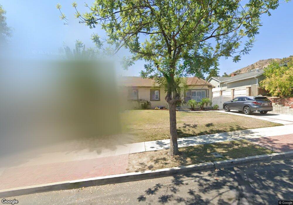
919 Birmingham Rd Burbank, CA 91504
Hillside District NeighborhoodEstimated Value: $1,453,752 - $1,680,000
About This Home
This home is located at 919 Birmingham Rd, Burbank, CA 91504 and is currently estimated at $1,584,438, approximately $811 per square foot. 919 Birmingham Rd is a home located in Los Angeles County with nearby schools including Thomas Jefferson Elementary School, John Muir Middle School, and Burbank High School.
Ownership History
We collect this data history from publicly available records. To have your information removed, we recommend requesting removal directly through your county’s website.
Purchase Details
Home Financials for this Owner
Home Financials are based on the most recent Mortgage that was taken out on this home.Home Values in the Area
Average Home Value in this Area
Purchase History
We collect this data history from publicly available records. To have your information removed, we recommend requesting removal directly through your county’s website.
| Date | Buyer | Sale Price | Title Company |
|---|---|---|---|
| $675,000 | Lawyers Title Company | ||
| -- | Lawyers Title Company |
Mortgage History
We collect this data history from publicly available records. To have your information removed, we recommend requesting removal directly through your county’s website.
| Date | Status | Borrower | Loan Amount |
|---|---|---|---|
| Open | $607,500 |
Tax History
We collect this data history from publicly available records. To have your information removed, we recommend requesting removal directly through your county’s website.
| Year | Tax Paid | Tax Assessment Tax Assessment Total Assessment is a certain percentage of the fair market value that is determined by local assessors to be the total taxable value of land and additions on the property. | Land | Improvement |
|---|---|---|---|---|
| 2025 | $9,644 | $847,824 | $518,367 | $329,457 |
| 2024 | $9,343 | $831,201 | $508,203 | $322,998 |
| 2023 | $9,243 | $814,904 | $498,239 | $316,665 |
| 2022 | $8,824 | $798,926 | $488,470 | $310,456 |
| 2021 | $8,863 | $783,262 | $478,893 | $304,369 |
| 2019 | $8,510 | $760,033 | $464,690 | $295,343 |
| 2018 | $8,380 | $745,131 | $455,579 | $289,552 |
| 2016 | $7,955 | $716,199 | $437,890 | $278,309 |
| 2015 | $7,794 | $705,442 | $431,313 | $274,129 |
| 2014 | $7,773 | $691,625 | $422,865 | $268,760 |
Map
- 1831 Richard St
- 801 Stephen Rd
- 633 Groton Dr
- 505 Cambridge Dr
- 435 Cambridge Dr
- 924 Irving Dr
- 2405 Jolley Dr
- 419 Tufts Ave
- 1000 N Kenneth Rd
- 611 Delaware Rd
- 1012 N Sunset Canyon Dr
- 2615 Woodstock Ln
- 915 N Kenneth Rd
- 1023 E Grinnell Dr
- 1120 East Ave
- 2724 N Kenneth Rd
- 1101 East Ave
- 523 E Fairmount Rd
- 1113 N Glenoaks Blvd
- 1711 Grismer Ave Unit 72
- 925 Birmingham Rd
- 913 Birmingham Rd
- 939 Birmingham Rd
- 931 Birmingham Rd
- 907 Birmingham Rd
- 918 Cambridge Dr
- 924 Cambridge Dr
- 912 Cambridge Dr
- 906 Cambridge Dr
- 930 Cambridge Dr
- 937 Birmingham Rd
- 901 Birmingham Rd
- 918 Birmingham Rd
- 924 Birmingham Rd
- 912 Birmingham Rd
- 936 Cambridge Dr
- 900 Cambridge Dr
- 930 Birmingham Rd
- 906 Birmingham Rd
- 943 Birmingham Rd
Ask me questions while you tour the home.