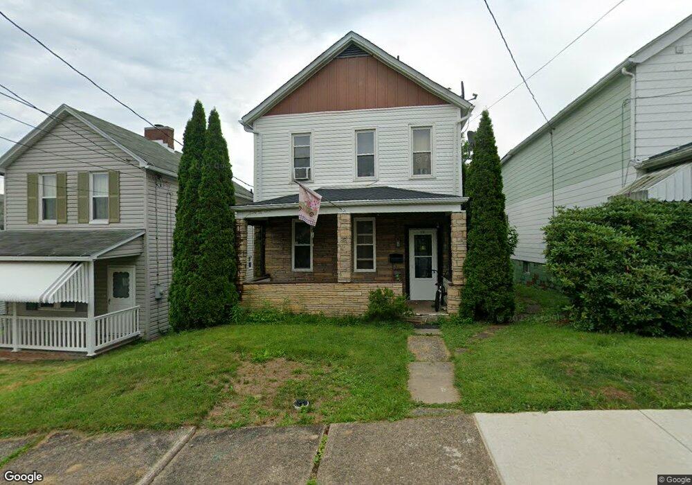
919 Cooper St Vandergrift, PA 15690
Estimated Value: $73,000 - $88,507
3
Beds
1
Bath
--
Sq Ft
5,837
Sq Ft Lot
About This Home
This home is located at 919 Cooper St, Vandergrift, PA 15690 and is currently estimated at $81,877. 919 Cooper St is a home located in Westmoreland County with nearby schools including Kiski Area High School and Orchard Hills Christian Academy.
Ownership History
Date
Name
Owned For
Owner Type
Purchase Details
Closed on
Jan 27, 2016
Sold by
Webb Andre A and Webb Catrena M
Bought by
Beaverdam Properties Inc
Current Estimated Value
Home Financials for this Owner
Home Financials are based on the most recent Mortgage that was taken out on this home.
Original Mortgage
$31,600
Outstanding Balance
$24,802
Interest Rate
3.97%
Mortgage Type
Commercial
Estimated Equity
$57,075
Purchase Details
Closed on
Nov 1, 2006
Sold by
S & T Bank
Bought by
Booker Ryan L
Purchase Details
Closed on
May 22, 2006
Sold by
Taylor Timothy
Bought by
S & T Bank
Create a Home Valuation Report for This Property
The Home Valuation Report is an in-depth analysis detailing your home's value as well as a comparison with similar homes in the area
Home Values in the Area
Average Home Value in this Area
Purchase History
| Date | Buyer | Sale Price | Title Company |
|---|---|---|---|
| Beaverdam Properties Inc | $39,500 | None Available | |
| Booker Ryan L | $5,500 | None Available | |
| S & T Bank | $6,241 | None Available |
Source: Public Records
Mortgage History
| Date | Status | Borrower | Loan Amount |
|---|---|---|---|
| Open | Beaverdam Properties Inc | $31,600 |
Source: Public Records
Tax History
| Year | Tax Paid | Tax Assessment Tax Assessment Total Assessment is a certain percentage of the fair market value that is determined by local assessors to be the total taxable value of land and additions on the property. | Land | Improvement |
|---|---|---|---|---|
| 2026 | $1,144 | $6,840 | $1,730 | $5,110 |
| 2025 | $1,116 | $6,840 | $1,730 | $5,110 |
| 2024 | $1,063 | $6,840 | $1,730 | $5,110 |
| 2023 | $979 | $6,840 | $1,730 | $5,110 |
| 2022 | $958 | $6,840 | $1,730 | $5,110 |
| 2021 | $958 | $6,840 | $1,730 | $5,110 |
| 2020 | $956 | $6,840 | $1,730 | $5,110 |
| 2019 | $953 | $6,840 | $1,730 | $5,110 |
| 2018 | $939 | $6,840 | $1,730 | $5,110 |
| 2017 | $918 | $6,840 | $1,730 | $5,110 |
| 2016 | $906 | $6,840 | $1,730 | $5,110 |
| 2015 | $906 | $6,840 | $1,730 | $5,110 |
| 2014 | $902 | $6,840 | $1,730 | $5,110 |
Source: Public Records
Map
Nearby Homes
- 924 Wallace St
- 303 Lowell St
- 327 Lowell St
- 221 Holmes St
- 314 Lowell St Unit 1/2
- 231 Whittier St
- 208 Whittier St
- 300 Longfellow St
- 410 Longfellow St
- 439 Longfellow St
- 1020 Poe St
- 512 Watson St
- 325 Walnut St
- 512 Longfellow St
- 528 Longfellow St
- 802 Mckinley Ave
- 517 Sycamore St
- 539 Walnut St
- 324 Beech St
- 510 Franklin Ave
Your Personal Tour Guide
Ask me questions while you tour the home.