Estimated Value: $208,000 - $226,000
3
Beds
2
Baths
1,597
Sq Ft
$136/Sq Ft
Est. Value
About This Home
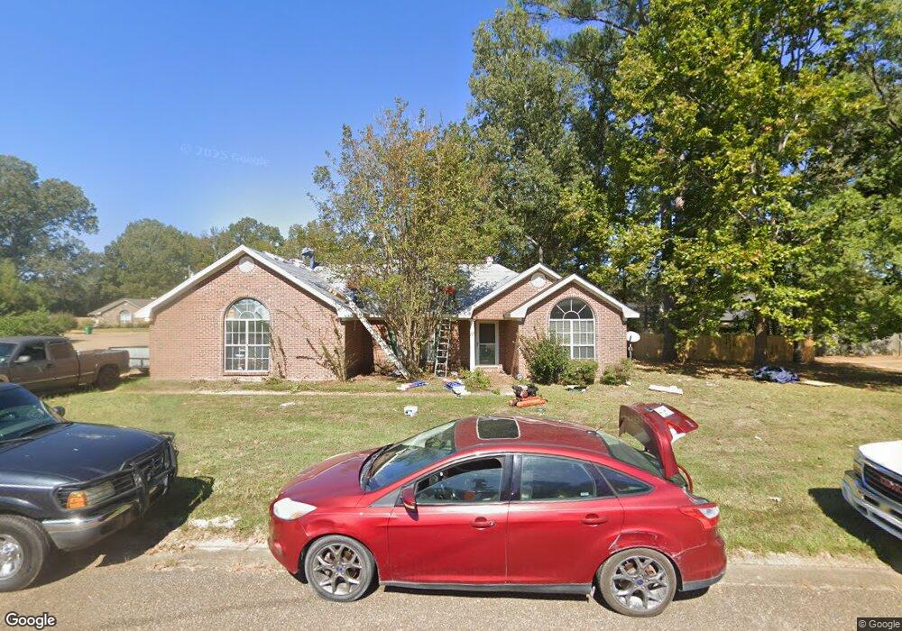
This home is located at 919 Eagles Nest Dr, Byram, MS 39272 and is currently estimated at $216,475, approximately $135 per square foot. 919 Eagles Nest Dr is a home located in Hinds County with nearby schools including Gary Road Elementary School, Gary Road Intermediate School, and Byram Middle School.
Ownership History
Date
Name
Owned For
Owner Type
Purchase Details
Closed on
Aug 12, 2010
Sold by
Donovan Shaun
Bought by
Wilson Kenneth T
Current Estimated Value
Home Financials for this Owner
Home Financials are based on the most recent Mortgage that was taken out on this home.
Original Mortgage
$94,400
Outstanding Balance
$62,565
Interest Rate
4.59%
Estimated Equity
$153,910
Create a Home Valuation Report for This Property
The Home Valuation Report is an in-depth analysis detailing your home's value as well as a comparison with similar homes in the area
Home Values in the Area
Average Home Value in this Area
Purchase History
| Date | Buyer | Sale Price | Title Company |
|---|---|---|---|
| Wilson Kenneth T | -- | Luckett Land Title Inc |
Source: Public Records
Mortgage History
| Date | Status | Borrower | Loan Amount |
|---|---|---|---|
| Open | Wilson Kenneth T | $94,400 |
Source: Public Records
Tax History
| Year | Tax Paid | Tax Assessment Tax Assessment Total Assessment is a certain percentage of the fair market value that is determined by local assessors to be the total taxable value of land and additions on the property. | Land | Improvement |
|---|---|---|---|---|
| 2025 | $1,440 | $17,093 | $3,750 | $13,343 |
| 2024 | $1,440 | $11,125 | $2,500 | $8,625 |
| 2023 | $1,440 | $11,125 | $2,500 | $8,625 |
| 2022 | $1,711 | $11,125 | $2,500 | $8,625 |
| 2021 | $1,389 | $11,125 | $2,500 | $8,625 |
| 2020 | $1,345 | $10,976 | $2,500 | $8,476 |
| 2019 | $1,337 | $10,976 | $2,500 | $8,476 |
| 2018 | $1,337 | $10,976 | $2,500 | $8,476 |
| 2017 | $1,306 | $10,976 | $2,500 | $8,476 |
| 2016 | $1,306 | $10,976 | $2,500 | $8,476 |
| 2015 | $1,285 | $10,828 | $2,500 | $8,328 |
| 2014 | $1,262 | $10,828 | $2,500 | $8,328 |
Source: Public Records
Map
Nearby Homes
- 8834 Gary Rd
- 2120 Meagan Dr
- 85 Susan Cove
- 699 Meadow Ln
- 1213 Lake Shore Dr
- 109 Lucas Ct
- 324 Martha Dr
- 0 Terry Rd Unit 24270230
- 0 Terry Rd Unit 4135800
- 0 Terry Rd Unit 4130083
- 224 Brannan Ave
- 344 Brannan Ave
- 213 Longfellow Cove
- 812 Fairway Ave
- 805 Fairway Ave
- 801 Fairway Ave
- 808 Fairway Ave
- 809 Fairway Ave
- 212 Callaway Cir
- 5301 Gardens Way
- 917 Eagles Nest Dr
- 803 Mountain Cove
- 921 Eagles Nest Dr
- 912 Eagles Nest Dr
- 910 Eagles Nest Dr
- 914 Eagles Nest Dr
- 805 Mountain Cove
- 802 Mountain Cove
- 915 Eagles Nest Dr
- 2107 Branch Creek Dr
- 2103 Branch Creek Dr
- 804 Mountain Cove
- 2099 Branch Creek Dr
- 2111 Branch Creek Dr
- 908 Eagles Nest Dr
- 916 Eagles Nest Dr
- 923 Eagles Nest Dr
- 108 Canyon Cove
- 913 Eagles Nest Dr
- 2115 Branch Creek Dr
Your Personal Tour Guide
Ask me questions while you tour the home.