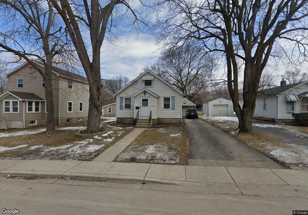
919 Lavoie Ave Elgin, IL 60120
Southeast Elgin NeighborhoodEstimated Value: $245,000 - $264,000
3
Beds
2
Baths
1,155
Sq Ft
$217/Sq Ft
Est. Value
About This Home
This home is located at 919 Lavoie Ave, Elgin, IL 60120 and is currently estimated at $251,152, approximately $217 per square foot. 919 Lavoie Ave is a home located in Kane County with nearby schools including Nature Ridge Elementary School, Kenyon Woods Middle School, and South Elgin High School.
Ownership History
Date
Name
Owned For
Owner Type
Purchase Details
Closed on
Oct 12, 2017
Sold by
Baum John M
Bought by
Torres Baltazar
Current Estimated Value
Home Financials for this Owner
Home Financials are based on the most recent Mortgage that was taken out on this home.
Original Mortgage
$121,000
Outstanding Balance
$100,960
Interest Rate
3.78%
Mortgage Type
New Conventional
Estimated Equity
$150,192
Create a Home Valuation Report for This Property
The Home Valuation Report is an in-depth analysis detailing your home's value as well as a comparison with similar homes in the area
Home Values in the Area
Average Home Value in this Area
Purchase History
| Date | Buyer | Sale Price | Title Company |
|---|---|---|---|
| Torres Baltazar | $125,000 | Fidelity National Title |
Source: Public Records
Mortgage History
| Date | Status | Borrower | Loan Amount |
|---|---|---|---|
| Open | Torres Baltazar | $121,000 |
Source: Public Records
Tax History Compared to Growth
Tax History
| Year | Tax Paid | Tax Assessment Tax Assessment Total Assessment is a certain percentage of the fair market value that is determined by local assessors to be the total taxable value of land and additions on the property. | Land | Improvement |
|---|---|---|---|---|
| 2024 | $4,991 | $62,365 | $12,632 | $49,733 |
| 2023 | $4,803 | $56,342 | $11,412 | $44,930 |
| 2022 | $4,455 | $51,374 | $10,406 | $40,968 |
| 2021 | $4,285 | $48,031 | $9,729 | $38,302 |
| 2020 | $4,023 | $44,112 | $9,288 | $34,824 |
| 2019 | $3,924 | $42,019 | $8,847 | $33,172 |
| 2018 | $3,397 | $34,359 | $8,334 | $26,025 |
| 2017 | $3,341 | $32,482 | $7,879 | $24,603 |
| 2016 | $2,041 | $30,135 | $7,310 | $22,825 |
| 2015 | -- | $27,621 | $6,700 | $20,921 |
| 2014 | -- | $27,280 | $6,617 | $20,663 |
| 2013 | -- | $31,742 | $6,792 | $24,950 |
Source: Public Records
Map
Nearby Homes
- 725 Dixon Ave
- 653 Dixon Ave
- 653 Elgin Ave
- 767 Dixon Ave
- 645 Lavoie Ave
- 644 Lavoie Ave
- 628 S Liberty St
- 661 Wellington Ave
- 539 Lucille Ave
- 536 Aller Ave
- 603 Wellington Ave
- 518 Raymond St
- 364 Bent St
- 1087 Houston Ave
- 445 Lucile Ave
- 1458 Deer Pointe Dr
- 527 Ashland Ave
- 262 Bartlett Place
- 72 Harding St
- 306 S Liberty St
- 921 Lavoie Ave
- 917 Lavoie Ave
- 700 Elgin Ave
- 915 Lavoie Ave
- 920 Cookane Ave
- 911 Lavoie Ave
- 926 Cookane Ave
- 918 Cookane Ave
- 930 Cookane Ave
- 912 Cookane Ave
- 957 Lavoie Ave
- 920 Lavoie Ave
- 918 Lavoie Ave
- 908 Cookane Ave
- 903 Lavoie Ave
- 930 Lavoie Ave
- 914 Lavoie Ave
- 950 Cookane Ave
- 959 Lavoie Ave
- 910 Lavoie Ave