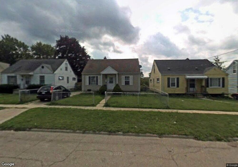
919 Markham St Flint, MI 48507
South Side NeighborhoodEstimated Value: $50,000 - $83,000
3
Beds
1
Bath
1,001
Sq Ft
$65/Sq Ft
Est. Value
About This Home
This home is located at 919 Markham St, Flint, MI 48507 and is currently estimated at $64,704, approximately $64 per square foot. 919 Markham St is a home located in Genesee County with nearby schools including Neithercut Elementary School, Flint Southwestern Classical Academy, and International Academy of Flint (K-12).
Ownership History
Date
Name
Owned For
Owner Type
Purchase Details
Closed on
Jan 2, 2002
Sold by
Stewart Charles Ray and Stewart Charles R
Bought by
Milligan Jennifer A
Current Estimated Value
Home Financials for this Owner
Home Financials are based on the most recent Mortgage that was taken out on this home.
Original Mortgage
$75,000
Outstanding Balance
$30,392
Interest Rate
7.07%
Estimated Equity
$34,312
Create a Home Valuation Report for This Property
The Home Valuation Report is an in-depth analysis detailing your home's value as well as a comparison with similar homes in the area
Home Values in the Area
Average Home Value in this Area
Purchase History
| Date | Buyer | Sale Price | Title Company |
|---|---|---|---|
| Milligan Jennifer A | $63,500 | Greco Title |
Source: Public Records
Mortgage History
| Date | Status | Borrower | Loan Amount |
|---|---|---|---|
| Open | Milligan Jennifer A | $75,000 |
Source: Public Records
Tax History
| Year | Tax Paid | Tax Assessment Tax Assessment Total Assessment is a certain percentage of the fair market value that is determined by local assessors to be the total taxable value of land and additions on the property. | Land | Improvement |
|---|---|---|---|---|
| 2025 | $1,069 | $28,800 | $0 | $0 |
| 2024 | $992 | $26,400 | $0 | $0 |
| 2023 | $971 | $19,900 | $0 | $0 |
| 2022 | $0 | $18,600 | $0 | $0 |
| 2021 | $983 | $16,300 | $0 | $0 |
| 2020 | $906 | $15,200 | $0 | $0 |
| 2019 | $1,890 | $12,900 | $0 | $0 |
| 2018 | $873 | $12,200 | $0 | $0 |
| 2017 | $1,144 | $0 | $0 | $0 |
| 2016 | $846 | $0 | $0 | $0 |
| 2015 | -- | $0 | $0 | $0 |
| 2014 | -- | $0 | $0 | $0 |
| 2012 | -- | $12,300 | $0 | $0 |
Source: Public Records
Map
Nearby Homes
- 846 W Hemphill Rd
- 912 Huron St
- 1122 Markham St
- 829 Clinton St
- 1015 Alvord Ave
- 845 Alvord Ave
- 1210 Pinehurst Ave
- 805 Alvord Ave
- 806 Alvord Ave
- 1234 Huron St
- 1216 E Hemphill Rd
- 1318 Ingleside Ave
- 1310 Huron St
- 3902 Brunswick Ave
- 1219 Norton St
- 1028 Campbell St
- 822 Campbell St
- 652 Crawford St
- 612 Clinton St
- 1130 W Atherton Rd
- 913 Markham St
- 925 Markham St
- 931 Markham St
- 907 Markham St
- 937 Markham St
- 901 Markham St
- 920 Markham St
- 941 Markham St
- 924 Markham St
- 922 W Hemphill Rd
- 867 Markham St
- 932 Markham St
- 4614 Brunswick Ave
- 945 Markham St
- 850 W Hemphill Rd
- 927 Major St
- 863 Markham St
- 936 Markham St
- 4610 Brunswick Ave
- 4602 Brunswick Ave
Your Personal Tour Guide
Ask me questions while you tour the home.