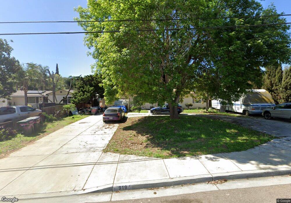
919 S Upas St Escondido, CA 92025
Central Escondido NeighborhoodEstimated Value: $752,000 - $835,000
3
Beds
2
Baths
1,730
Sq Ft
$459/Sq Ft
Est. Value
About This Home
This home is located at 919 S Upas St, Escondido, CA 92025 and is currently estimated at $793,676, approximately $458 per square foot. 919 S Upas St is a home located in San Diego County with nearby schools including Felicita Elementary, Del Dios Academy of Arts & Sciences, and San Pasqual High School.
Ownership History
Date
Name
Owned For
Owner Type
Purchase Details
Closed on
Mar 12, 2013
Sold by
Monahan Carol R
Bought by
Monahan Carol
Current Estimated Value
Purchase Details
Closed on
Feb 13, 2002
Sold by
Monahan Carol R
Bought by
Monahan Carol R
Purchase Details
Closed on
Sep 21, 1999
Sold by
Monahan Harry E
Bought by
Monahan Harry E and Monahan Carol R
Home Financials for this Owner
Home Financials are based on the most recent Mortgage that was taken out on this home.
Original Mortgage
$37,500
Interest Rate
7.63%
Purchase Details
Closed on
Sep 21, 1984
Create a Home Valuation Report for This Property
The Home Valuation Report is an in-depth analysis detailing your home's value as well as a comparison with similar homes in the area
Home Values in the Area
Average Home Value in this Area
Purchase History
| Date | Buyer | Sale Price | Title Company |
|---|---|---|---|
| Monahan Carol | -- | None Available | |
| Monahan Carol R | -- | -- | |
| Monahan Harry E | -- | Commonwealth Land Title Co | |
| -- | $88,000 | -- |
Source: Public Records
Mortgage History
| Date | Status | Borrower | Loan Amount |
|---|---|---|---|
| Closed | Monahan Harry E | $37,500 |
Source: Public Records
Tax History Compared to Growth
Tax History
| Year | Tax Paid | Tax Assessment Tax Assessment Total Assessment is a certain percentage of the fair market value that is determined by local assessors to be the total taxable value of land and additions on the property. | Land | Improvement |
|---|---|---|---|---|
| 2025 | $1,883 | $172,604 | $77,163 | $95,441 |
| 2024 | $1,883 | $169,220 | $75,650 | $93,570 |
| 2023 | $1,838 | $165,903 | $74,167 | $91,736 |
| 2022 | $1,817 | $162,651 | $72,713 | $89,938 |
| 2021 | $1,786 | $159,463 | $71,288 | $88,175 |
| 2020 | $1,775 | $157,829 | $70,558 | $87,271 |
| 2019 | $1,731 | $154,735 | $69,175 | $85,560 |
| 2018 | $1,682 | $151,702 | $67,819 | $83,883 |
| 2017 | $1,653 | $148,729 | $66,490 | $82,239 |
| 2016 | $1,619 | $145,814 | $65,187 | $80,627 |
| 2015 | $1,605 | $143,624 | $64,208 | $79,416 |
| 2014 | $1,538 | $140,812 | $62,951 | $77,861 |
Source: Public Records
Map
Nearby Homes
- 1001 Ontario St
- 759 W 10th Ave
- 752 W 9th Ave
- 819 W 7th Ave
- 880 La Terraza Blvd
- 1049 W 5th Ave
- 401 S Vine St
- 308 S Tulip St
- 514 W 10th Ave
- 1531 Russell Place
- 967 W 2nd Ave
- 1369 W 11th Ave
- 26 Bahama Dr
- 1756 Alhudson Dr
- 320 W 8th Ave
- 1711 Alhudson Dr
- 509 W 2nd Ave
- 340 W 15th Ave Unit 5
- 215 Antoni Glen Unit 1112
- 225 Royal Glen Unit 408