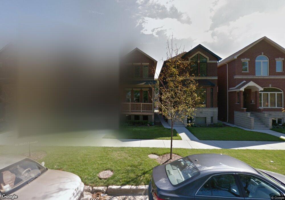
919 W 37th St Chicago, IL 60609
Bridgeport NeighborhoodEstimated Value: $777,862 - $931,000
4
Beds
3
Baths
1,962
Sq Ft
$437/Sq Ft
Est. Value
About This Home
This home is located at 919 W 37th St, Chicago, IL 60609 and is currently estimated at $856,716, approximately $436 per square foot. 919 W 37th St is a home located in Cook County with nearby schools including McClellan Elementary School, Bridgeport Catholic Academy - South Campus, and De La Salle Institute - Lourdes Hall Campus.
Ownership History
Date
Name
Owned For
Owner Type
Purchase Details
Closed on
Aug 18, 2014
Sold by
Td Home Builders Llc
Bought by
Kuhn O Toole Shawn and Toole Heather Kuhn O
Current Estimated Value
Home Financials for this Owner
Home Financials are based on the most recent Mortgage that was taken out on this home.
Original Mortgage
$380,000
Outstanding Balance
$288,553
Interest Rate
4%
Mortgage Type
New Conventional
Estimated Equity
$568,163
Purchase Details
Closed on
Sep 15, 2011
Sold by
Courtney Michael
Bought by
Amtrust Reo I Llc
Create a Home Valuation Report for This Property
The Home Valuation Report is an in-depth analysis detailing your home's value as well as a comparison with similar homes in the area
Home Values in the Area
Average Home Value in this Area
Purchase History
| Date | Buyer | Sale Price | Title Company |
|---|---|---|---|
| Kuhn O Toole Shawn | $522,500 | First American | |
| Amtrust Reo I Llc | -- | None Available |
Source: Public Records
Mortgage History
| Date | Status | Borrower | Loan Amount |
|---|---|---|---|
| Open | Kuhn O Toole Shawn | $380,000 |
Source: Public Records
Tax History Compared to Growth
Tax History
| Year | Tax Paid | Tax Assessment Tax Assessment Total Assessment is a certain percentage of the fair market value that is determined by local assessors to be the total taxable value of land and additions on the property. | Land | Improvement |
|---|---|---|---|---|
| 2024 | $12,171 | $70,000 | $18,196 | $51,804 |
| 2023 | $11,843 | $61,000 | $14,704 | $46,296 |
| 2022 | $11,843 | $61,000 | $14,704 | $46,296 |
| 2021 | $11,597 | $61,000 | $14,704 | $46,296 |
| 2020 | $9,794 | $47,067 | $11,763 | $35,304 |
| 2019 | $9,818 | $52,297 | $11,763 | $40,534 |
| 2018 | $10,718 | $54,259 | $11,763 | $42,496 |
| 2017 | $9,309 | $43,245 | $9,190 | $34,055 |
| 2016 | $8,661 | $43,245 | $9,190 | $34,055 |
| 2015 | $7,924 | $43,245 | $9,190 | $34,055 |
| 2014 | $3,140 | $16,922 | $1,654 | $15,268 |
Source: Public Records
Map
Nearby Homes
- 3600 S Halsted St
- 974 W 35th Place Unit 503
- 3500 S Sangamon St Unit 214
- 835 W 35th St
- 3505 S Morgan St Unit P77
- 3505 S Morgan St Unit 411
- 3505 S Morgan St Unit P75
- 3505 S Morgan St Unit P66
- 3600 S Union Ave
- 3830 S Emerald Ave
- 3640 S Lowe Ave
- 3450 S Halsted St Unit 406
- 3450 S Halsted St Unit 416
- 917 W 34th Place
- 3727 S Lowe Ave
- 1045 W 34th Place
- 3549 S Lowe Ave
- 932 W 34th St
- 3416 S Union Ave
- 3812 S Wallace St