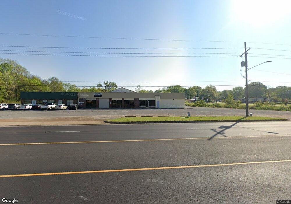
9190 U S 51 Southaven, MS 38671
Estimated Value: $405,000
--
Bed
2
Baths
1,400
Sq Ft
$289/Sq Ft
Est. Value
About This Home
This home is located at 9190 U S 51, Southaven, MS 38671 and is currently priced at $405,000, approximately $289 per square foot. 9190 U S 51 is a home located in DeSoto County with nearby schools including Southaven Elementary School, Southaven Middle School, and Southaven High School.
Ownership History
Date
Name
Owned For
Owner Type
Purchase Details
Closed on
Jul 26, 2021
Sold by
Clarkson Curtis Bradley and Clarkson Bradley
Bought by
Clarkson Properties Llc
Current Estimated Value
Purchase Details
Closed on
Nov 3, 2017
Sold by
Clarkson L Donald
Bought by
Clarkson Curtis Bradley
Purchase Details
Closed on
Nov 26, 2012
Sold by
Heritage Nurseries Inc
Bought by
Clarkson L Donald
Create a Home Valuation Report for This Property
The Home Valuation Report is an in-depth analysis detailing your home's value as well as a comparison with similar homes in the area
Home Values in the Area
Average Home Value in this Area
Purchase History
| Date | Buyer | Sale Price | Title Company |
|---|---|---|---|
| Clarkson Properties Llc | -- | Guardian Title Llc | |
| Clarkson Curtis Bradley | -- | First National Financial Tit | |
| Clarkson L Donald | -- | None Available |
Source: Public Records
Tax History Compared to Growth
Tax History
| Year | Tax Paid | Tax Assessment Tax Assessment Total Assessment is a certain percentage of the fair market value that is determined by local assessors to be the total taxable value of land and additions on the property. | Land | Improvement |
|---|---|---|---|---|
| 2024 | $10,011 | $69,007 | $21,814 | $47,193 |
| 2023 | $10,011 | $69,007 | $0 | $0 |
| 2022 | $4,325 | $30,368 | $21,814 | $8,554 |
| 2021 | $4,325 | $30,368 | $21,814 | $8,554 |
| 2020 | $4,196 | $29,459 | $21,814 | $7,645 |
| 2019 | $4,196 | $29,459 | $21,814 | $7,645 |
| 2017 | $7,664 | $74,597 | $53,659 | $20,938 |
| 2016 | $7,656 | $53,658 | $32,721 | $20,937 |
| 2015 | $7,643 | $74,595 | $53,658 | $20,937 |
| 2014 | $7,656 | $53,658 | $0 | $0 |
| 2013 | $7,656 | $53,658 | $0 | $0 |
Source: Public Records
Map
Nearby Homes
- 1728 Forrest Dr
- 1279 Eason Ave
- 1400 Staunton Dr
- 8505 Southaven Cir W
- 1456 Eason Ave
- 8493 Cedarbrush Dr
- 1383 Ranger Dr
- 1382 Mary Jane Ave
- 9154 Haleville St
- 1821 Tad Cove
- 8341 Whitehead Dr
- 8376 Cedarcrest Dr E
- 1242 Brandywine Dr
- 1502 Mary Jane Ave
- 1639 Kilarney Ave
- 1734 Brookhaven Dr
- 5387 Loch Lomond Rd
- 1825 Brookhaven Dr
- 5449 Millbranch Rd
- 1041 Richland Dr
- 9180 U S 51
- 9200 U S 51
- 9260 Highway 51 N
- 9220 Us-51
- 9180 Highway 51 N
- 9180 Highway 51 N
- 9109 Highway 51 N
- 1 N Highway 51
- 1866 Forrest Dr
- 1846 Forrest Dr
- 7533 Southaven Cir W
- 1841 Forrest Dr
- 1834 Forrest Dr
- 1827 Forrest Dr
- 1820 Forrest Dr
- 1831 Vicksburg Dr
- 1815 Forrest Dr
- 1827 Vicksburg Dr
- 1806 Forrest Dr
- 1813 Vicksburg Dr