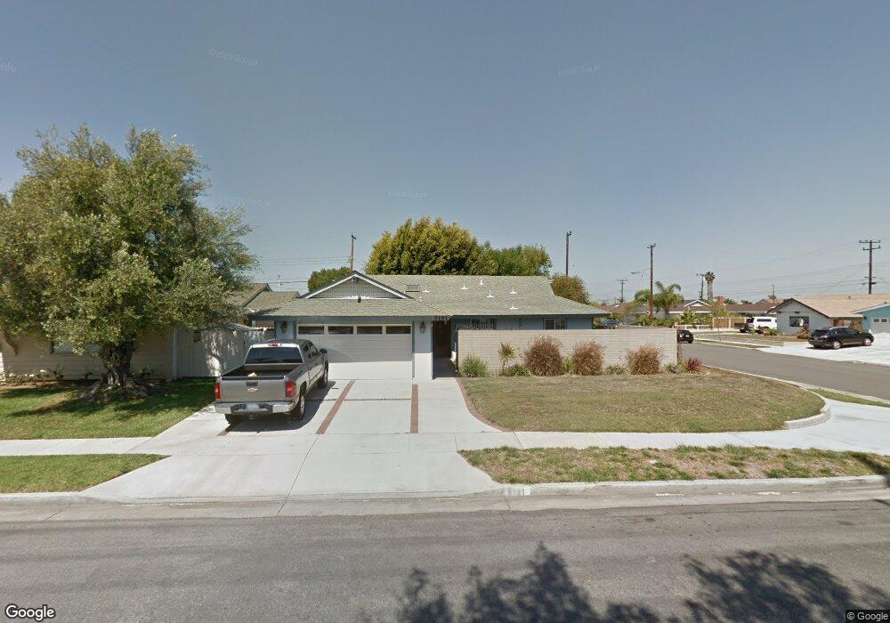
9191 Adams Ave Huntington Beach, CA 92646
Estimated Value: $1,234,000 - $1,313,000
4
Beds
2
Baths
1,446
Sq Ft
$890/Sq Ft
Est. Value
About This Home
This home is located at 9191 Adams Ave, Huntington Beach, CA 92646 and is currently estimated at $1,286,506, approximately $889 per square foot. 9191 Adams Ave is a home located in Orange County with nearby schools including William T. Newland Elementary, Talbert Middle School, and Huntington Beach High School.
Ownership History
Date
Name
Owned For
Owner Type
Purchase Details
Closed on
Dec 15, 1993
Sold by
Kuntz Martin E
Bought by
Powell Janice L
Current Estimated Value
Home Financials for this Owner
Home Financials are based on the most recent Mortgage that was taken out on this home.
Original Mortgage
$144,000
Interest Rate
3.75%
Create a Home Valuation Report for This Property
The Home Valuation Report is an in-depth analysis detailing your home's value as well as a comparison with similar homes in the area
Home Values in the Area
Average Home Value in this Area
Purchase History
| Date | Buyer | Sale Price | Title Company |
|---|---|---|---|
| Powell Janice L | $183,000 | Commonwealth Land Title |
Source: Public Records
Mortgage History
| Date | Status | Borrower | Loan Amount |
|---|---|---|---|
| Closed | Powell Janice L | $144,000 |
Source: Public Records
Tax History Compared to Growth
Tax History
| Year | Tax Paid | Tax Assessment Tax Assessment Total Assessment is a certain percentage of the fair market value that is determined by local assessors to be the total taxable value of land and additions on the property. | Land | Improvement |
|---|---|---|---|---|
| 2025 | $3,647 | $311,028 | $210,263 | $100,765 |
| 2024 | $3,647 | $304,930 | $206,140 | $98,790 |
| 2023 | $3,559 | $298,951 | $202,098 | $96,853 |
| 2022 | $3,502 | $293,090 | $198,136 | $94,954 |
| 2021 | $3,435 | $287,344 | $194,251 | $93,093 |
| 2020 | $3,413 | $284,398 | $192,259 | $92,139 |
| 2019 | $3,346 | $278,822 | $188,489 | $90,333 |
| 2018 | $3,282 | $273,355 | $184,793 | $88,562 |
| 2017 | $3,229 | $267,996 | $181,170 | $86,826 |
| 2016 | $3,095 | $262,742 | $177,618 | $85,124 |
| 2015 | $3,047 | $258,796 | $174,950 | $83,846 |
| 2014 | $2,986 | $253,727 | $171,523 | $82,204 |
Source: Public Records
Map
Nearby Homes
- 20111 Marina Ln
- 20071 Moontide Cir
- 9121 Madeline Dr
- 20258 Lantana Dr
- 9172 Veronica Dr
- 19846 Lures Ln
- 9594 Pettswood Dr Unit 4
- 19901 Burnley Ln
- 9522 Yellowstone Dr
- 20012 Treasure Cir
- 20131 Crown Reef Ln
- 9667 Durham Dr
- 19854 Leighton Ln
- 9695 Adams Ave
- 9331 Grand Dr
- 20191 Imperial Cove Ln
- 9745 Cornwall Dr
- 19843 Coventry Ln
- 19860 Claremont Ln
- 9831 Continental Dr
- 9181 Adams Ave
- 9192 Crawford Cir
- 9161 Adams Ave
- 9182 Crawford Cir
- 19952 Lotus Ln
- 19942 Lotus Ln
- 19962 Lotus Ln
- 9162 Crawford Cir
- 19922 Lotus Ln
- 9151 Adams Ave
- 9152 Crawford Cir
- 19912 Lotus Ln
- 9142 Crawford Cir
- 9191 Crawford Cir
- 19902 Lotus Ln
- 9181 Crawford Cir
- 20012 Harbor Isle Ln
- 9161 Crawford Cir
- 20021 Harbor Isle Ln
- 20022 Shorewood Cir