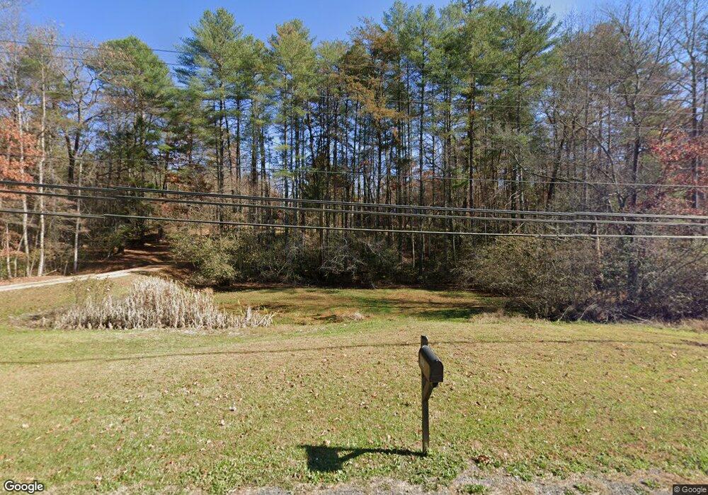
9197 Lakewood Hwy Mineral Bluff, GA 30559
Estimated Value: $240,474 - $494,000
--
Bed
--
Bath
1,517
Sq Ft
$257/Sq Ft
Est. Value
About This Home
This home is located at 9197 Lakewood Hwy, Mineral Bluff, GA 30559 and is currently estimated at $389,369, approximately $256 per square foot. 9197 Lakewood Hwy is a home with nearby schools including Fannin County High School.
Ownership History
Date
Name
Owned For
Owner Type
Purchase Details
Closed on
May 5, 2025
Sold by
Willliams Michael C
Bought by
Little Pond Rentals Llc
Current Estimated Value
Purchase Details
Closed on
Sep 20, 2022
Sold by
Williams Michael C
Bought by
Williams Michael C
Purchase Details
Closed on
Oct 6, 2016
Sold by
Williams Mary Sue
Bought by
Williams Michael C and Williams Tracy Suzanne
Purchase Details
Closed on
Oct 2, 2006
Sold by
Williams Mary Sue
Bought by
Willliams Mary Sue
Create a Home Valuation Report for This Property
The Home Valuation Report is an in-depth analysis detailing your home's value as well as a comparison with similar homes in the area
Home Values in the Area
Average Home Value in this Area
Purchase History
| Date | Buyer | Sale Price | Title Company |
|---|---|---|---|
| Little Pond Rentals Llc | -- | -- | |
| Williams Michael C | -- | -- | |
| Williams Michael C | -- | -- | |
| Willliams Mary Sue | -- | -- |
Source: Public Records
Tax History Compared to Growth
Tax History
| Year | Tax Paid | Tax Assessment Tax Assessment Total Assessment is a certain percentage of the fair market value that is determined by local assessors to be the total taxable value of land and additions on the property. | Land | Improvement |
|---|---|---|---|---|
| 2024 | $769 | $83,947 | $14,560 | $69,387 |
| 2023 | $742 | $72,729 | $14,560 | $58,169 |
| 2022 | $741 | $72,729 | $14,560 | $58,169 |
| 2021 | $779 | $55,538 | $14,560 | $40,978 |
| 2020 | $792 | $55,538 | $14,560 | $40,978 |
| 2019 | $515 | $35,468 | $14,560 | $20,908 |
| 2018 | $482 | $31,308 | $10,400 | $20,908 |
| 2017 | $566 | $31,960 | $10,400 | $21,560 |
| 2016 | $486 | $28,640 | $10,400 | $18,240 |
| 2015 | $536 | $30,214 | $10,400 | $19,814 |
| 2014 | $487 | $27,306 | $7,491 | $19,814 |
| 2013 | -- | $21,568 | $7,491 | $14,076 |
Source: Public Records
Map
Nearby Homes
- 7.93 Cutcane Rd
- 56.46 Ac Cutcane Rd
- 83.98 Ac Cutcane Rd
- 0 Lakewood Hwy Unit 10020686
- 0 Lakewood Hwy Unit 309290
- 0 State 60
- 149 Spring St
- 8601 Lakewood Hwy
- 0000 Spring St
- 0 Murphy Hwy Unit 10469213
- 0 Murphy Hwy Unit 402757
- 0 Spring St Unit 10636240
- 1164 Dividing Ridge Rd
- 330 Serenity Ridge Ln
- 21 Ac Bear Hollow Dr
- LT 1 Newberry Dr
- Lot 25 Crestview
- Lot 229 Kittatinny Dr
- Lot 75 Morgan Rd
- 91 Kittatinny Dr
- 9295 Lakewood Hwy
- 140 Cutcane Rd
- 9196 Lakewood Hwy
- 243 Walker Cir
- 311 Walker Cir
- 427 Marble City Rd
- 9244 Lakewood Hwy
- Lot 1 Walker M Sluder Farm Rd
- 390 Marble City Rd
- 0 Marble City Rd
- 135 Cutcane Rd
- 0 Cutcane Rd Unit 3.63 AC 8353838
- 0 Cutcane @ Knollwood Unit 8292856
- 0 Cutcane Rd Unit 3166808
- 0 Cutcane Rd Unit 3242173
- 0 Cutcane Rd Unit 68AC 8055165
- 0 Cutcane Rd
- 0 Cutcane Rd Unit 407783
- 0 Cutcane Rd Unit 261035
- 0 Cutcane Rd Unit 261001
