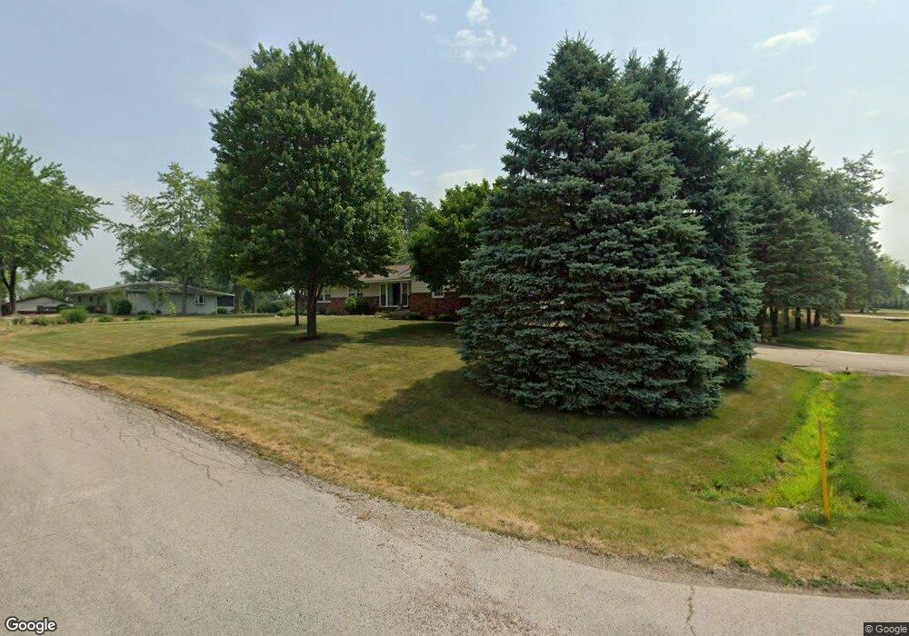
9198 Apollo Rd Bloomington, IL 61705
Twin Grove NeighborhoodEstimated Value: $261,000 - $279,000
Studio
2
Baths
1,488
Sq Ft
$182/Sq Ft
Est. Value
About This Home
This home is located at 9198 Apollo Rd, Bloomington, IL 61705 and is currently estimated at $270,313, approximately $181 per square foot. 9198 Apollo Rd is a home located in McLean County with nearby schools including Carlock Elementary School, Parkside Junior High School, and Normal Community West High School.
Ownership History
Date
Name
Owned For
Owner Type
Purchase Details
Closed on
May 26, 2006
Sold by
Palagi Brenda L
Bought by
Irion Amy S
Current Estimated Value
Home Financials for this Owner
Home Financials are based on the most recent Mortgage that was taken out on this home.
Original Mortgage
$153,899
Outstanding Balance
$90,935
Interest Rate
6.66%
Estimated Equity
$179,378
Create a Home Valuation Report for This Property
The Home Valuation Report is an in-depth analysis detailing your home's value as well as a comparison with similar homes in the area
Home Values in the Area
Average Home Value in this Area
Purchase History
| Date | Buyer | Sale Price | Title Company |
|---|---|---|---|
| Irion Amy S | $157,000 | None Available |
Source: Public Records
Mortgage History
| Date | Status | Borrower | Loan Amount |
|---|---|---|---|
| Open | Irion Amy S | $153,899 |
Source: Public Records
Tax History
| Year | Tax Paid | Tax Assessment Tax Assessment Total Assessment is a certain percentage of the fair market value that is determined by local assessors to be the total taxable value of land and additions on the property. | Land | Improvement |
|---|---|---|---|---|
| 2024 | $4,656 | $79,080 | $13,532 | $65,548 |
| 2022 | $4,656 | $64,293 | $11,002 | $53,291 |
| 2021 | $4,368 | $59,852 | $10,242 | $49,610 |
| 2020 | $4,278 | $58,210 | $9,961 | $48,249 |
| 2019 | $4,225 | $59,477 | $10,178 | $49,299 |
| 2018 | $4,240 | $59,477 | $10,178 | $49,299 |
| 2017 | $4,012 | $59,087 | $10,111 | $48,976 |
| 2016 | $3,898 | $57,556 | $9,849 | $47,707 |
| 2015 | $3,807 | $56,416 | $9,654 | $46,762 |
| 2014 | $3,629 | $54,651 | $9,352 | $45,299 |
| 2013 | -- | $54,651 | $9,352 | $45,299 |
Source: Public Records
Map
Nearby Homes
- 9491 Crossbow Dr
- 9667 Crossbow Dr
- 14030 Lara Trace
- 13591 Fawn Dr
- Lots 2, 3 and 4 Burr Oak Rd
- Lot 26 Oak Hill Rd
- 1044 Wylie Dr
- 7 Fedor Cir
- 231 Eugene Dr
- 259 Cassidy Rd
- 103 Cheltenham Dr
- 303 Jo Ann Ct
- 1715 Bryan St
- 3 Pebblebrook Ct
- 67 Oak Park Rd
- 7 Lake Ridge Ct
- 203 Edwards Dr
- 205 Edwards Dr
- 2112 Parker Ave
- 1829 Derek Dr
- 9228 Apollo Rd
- 14704 Mercury Ln
- 14704 Aquarius Dr
- 9205 Apollo Rd
- 9175 Apollo Rd
- 9231 Apollo Rd
- 14735 Mercury Ln
- 14726 Mercury Ln
- 14732 Aquarius Dr
- 14693 Aquarius Dr
- 9268 Apollo Rd
- 9139 Apollo Rd
- 14715 Aquarius Dr
- 14532 Saturn Cir
- 9265 Apollo Rd
- 14617 Lunar Dr
- 14759 Mercury Ln
- 14723 Lunar Dr
- 14528 Saturn Cir
- 14528 Saturn Cir
Your Personal Tour Guide
Ask me questions while you tour the home.