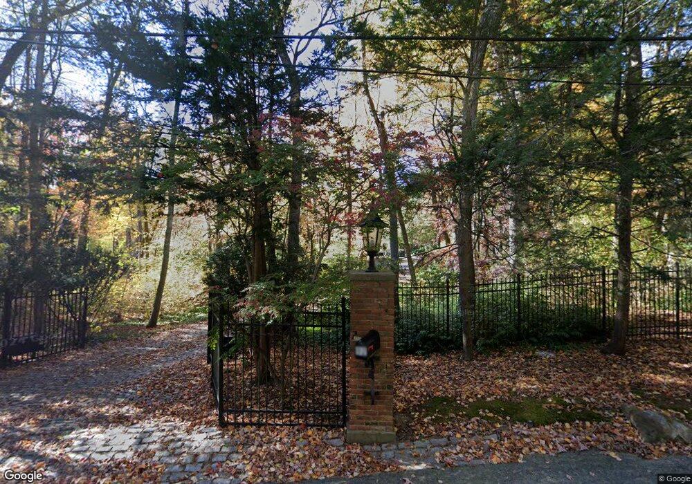
92 Deer Path Ln Weston, MA 02493
Estimated Value: $4,085,466 - $4,334,000
5
Beds
6
Baths
6,789
Sq Ft
$622/Sq Ft
Est. Value
About This Home
This home is located at 92 Deer Path Ln, Weston, MA 02493 and is currently estimated at $4,225,822, approximately $622 per square foot. 92 Deer Path Ln is a home located in Middlesex County with nearby schools including Country Elementary School, Woodland Elementary School, and Field Elementary School.
Ownership History
Date
Name
Owned For
Owner Type
Purchase Details
Closed on
Jan 4, 2008
Sold by
Mcnamara Alfred J and Mcnamara Sheila M
Bought by
Basi Archana and Green Joseph
Current Estimated Value
Home Financials for this Owner
Home Financials are based on the most recent Mortgage that was taken out on this home.
Original Mortgage
$1,000,000
Outstanding Balance
$634,829
Interest Rate
6.27%
Mortgage Type
Purchase Money Mortgage
Estimated Equity
$3,590,993
Purchase Details
Closed on
Aug 7, 2000
Sold by
Sostek Gale K
Bought by
Mcnamara Alfred J and Mcnamara Sheila M
Purchase Details
Closed on
Jun 14, 1989
Sold by
Purcell Patrick J
Bought by
Sostek Gale K
Purchase Details
Closed on
Apr 25, 1988
Sold by
Hampers Constantine
Bought by
Purcell Patrick J
Home Financials for this Owner
Home Financials are based on the most recent Mortgage that was taken out on this home.
Original Mortgage
$800,000
Interest Rate
9.89%
Mortgage Type
Purchase Money Mortgage
Create a Home Valuation Report for This Property
The Home Valuation Report is an in-depth analysis detailing your home's value as well as a comparison with similar homes in the area
Home Values in the Area
Average Home Value in this Area
Purchase History
| Date | Buyer | Sale Price | Title Company |
|---|---|---|---|
| Basi Archana | $2,800,000 | -- | |
| Mcnamara Alfred J | $2,900,000 | -- | |
| Sostek Gale K | $1,650,000 | -- | |
| Purcell Patrick J | $1,200,000 | -- |
Source: Public Records
Mortgage History
| Date | Status | Borrower | Loan Amount |
|---|---|---|---|
| Open | Basi Archana | $1,000,000 | |
| Previous Owner | Purcell Patrick J | $900,000 | |
| Previous Owner | Purcell Patrick J | $800,000 |
Source: Public Records
Tax History Compared to Growth
Tax History
| Year | Tax Paid | Tax Assessment Tax Assessment Total Assessment is a certain percentage of the fair market value that is determined by local assessors to be the total taxable value of land and additions on the property. | Land | Improvement |
|---|---|---|---|---|
| 2025 | $36,957 | $3,329,500 | $1,243,900 | $2,085,600 |
| 2024 | $36,030 | $3,240,100 | $1,243,900 | $1,996,200 |
| 2023 | $35,899 | $3,032,000 | $1,243,900 | $1,788,100 |
| 2022 | $34,276 | $2,675,700 | $1,170,300 | $1,505,400 |
| 2021 | $13,340 | $2,559,100 | $1,122,900 | $1,436,200 |
| 2020 | $12,595 | $2,477,700 | $1,122,900 | $1,354,800 |
| 2019 | $5,093 | $2,486,200 | $1,122,900 | $1,363,300 |
| 2018 | $4,998 | $2,486,200 | $1,122,900 | $1,363,300 |
| 2017 | $4,645 | $2,513,800 | $1,122,900 | $1,390,900 |
| 2016 | $29,126 | $2,395,200 | $1,122,900 | $1,272,300 |
| 2015 | $28,421 | $2,314,400 | $1,077,300 | $1,237,100 |
Source: Public Records
Map
Nearby Homes
- 7 Fox Hollow
- 8 Fox Hollow
- 9 Christina
- 286 Country Dr
- 1 Astra Unit 1
- 12 Astra
- 6 Steepletree Ln
- 1004 Wisteria Way
- 18 Coltsway Unit 18
- 1601 Wisteria Way
- 1605 Wisteria Way
- 12 Cutting Cross Way
- 23 Covered Bridge Ln
- 42 Westerly Rd
- 620 South Ave
- 180 Highland St
- 82 Buckskin Dr
- 17 Smokey Hill Rd
- 5 Upham Way Unit 5
- 125 Woodridge Rd