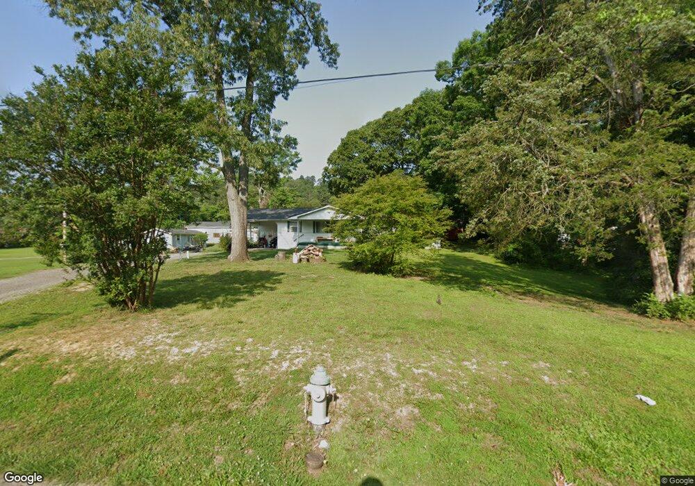
92 Elm Ave Ringgold, GA 30736
Westside NeighborhoodEstimated Value: $180,534 - $241,000
--
Bed
1
Bath
1,092
Sq Ft
$202/Sq Ft
Est. Value
About This Home
This home is located at 92 Elm Ave, Ringgold, GA 30736 and is currently estimated at $220,384, approximately $201 per square foot. 92 Elm Ave is a home located in Catoosa County with nearby schools including Battlefield Primary School, Battlefield Elementary School, and Lakeview Middle School.
Ownership History
Date
Name
Owned For
Owner Type
Purchase Details
Closed on
Oct 8, 2015
Sold by
Kfsr Finance Llc Of Hamilt
Bought by
Gitgood Don and Gitgood Bonnie F
Current Estimated Value
Purchase Details
Closed on
Sep 8, 2015
Sold by
Broom Dorothy
Bought by
Broom Tommy
Purchase Details
Closed on
Oct 7, 2014
Sold by
Broom Kenneth L
Bought by
Kfsr Finance Llc
Purchase Details
Closed on
Mar 28, 2007
Sold by
Broom Kenneth L
Bought by
Broom Dorothy Mae
Purchase Details
Closed on
Jul 20, 2006
Sold by
Broom James Mae
Bought by
Broom Kenneth L
Create a Home Valuation Report for This Property
The Home Valuation Report is an in-depth analysis detailing your home's value as well as a comparison with similar homes in the area
Home Values in the Area
Average Home Value in this Area
Purchase History
| Date | Buyer | Sale Price | Title Company |
|---|---|---|---|
| Gitgood Don | $39,900 | -- | |
| Broom Tommy | -- | -- | |
| Broom Tommy | -- | -- | |
| Broom Patti Yvonne | -- | -- | |
| Kfsr Finance Llc | $15,700 | -- | |
| Broom Dorothy Mae | -- | -- | |
| Broom Kenneth L | -- | -- |
Source: Public Records
Tax History Compared to Growth
Tax History
| Year | Tax Paid | Tax Assessment Tax Assessment Total Assessment is a certain percentage of the fair market value that is determined by local assessors to be the total taxable value of land and additions on the property. | Land | Improvement |
|---|---|---|---|---|
| 2024 | $1,293 | $60,638 | $11,908 | $48,730 |
| 2023 | $1,018 | $47,718 | $11,908 | $35,810 |
| 2022 | $900 | $40,178 | $11,908 | $28,270 |
| 2021 | $841 | $40,178 | $11,908 | $28,270 |
| 2020 | $750 | $32,411 | $11,908 | $20,503 |
| 2019 | $688 | $29,434 | $8,931 | $20,503 |
| 2018 | $727 | $29,434 | $8,931 | $20,503 |
| 2017 | $461 | $18,659 | $8,931 | $9,728 |
| 2016 | $415 | $20,218 | $8,931 | $11,286 |
| 2015 | -- | $20,218 | $8,931 | $11,286 |
| 2014 | -- | $24,507 | $8,931 | $15,576 |
| 2013 | -- | $24,507 | $8,931 | $15,576 |
Source: Public Records
Map
Nearby Homes
- 224 N Brent Dr
- 325 Cindy Cir
- 0 Pine Grove Rd Unit 1522542
- 0 Old Mill Rd Unit 1507874
- 27 Templin Hills Ln
- 102 Water Mill Trace
- 382 Foster Rd
- 615 Larry Dr
- 224 Foster Rd
- 618 Larry Dr
- 1547 Highway 41
- 184 Bridlewood Dr
- 394 Pierce Dr
- 85 Deer Ln
- 51 Poppy Ln
- 255 Willow Grove Ct
- 164 Carrol Dr
- 2298 Pine Grove Rd
- 344 Willow Grove Ct
- 352 Willow Grove Ct Unit 68