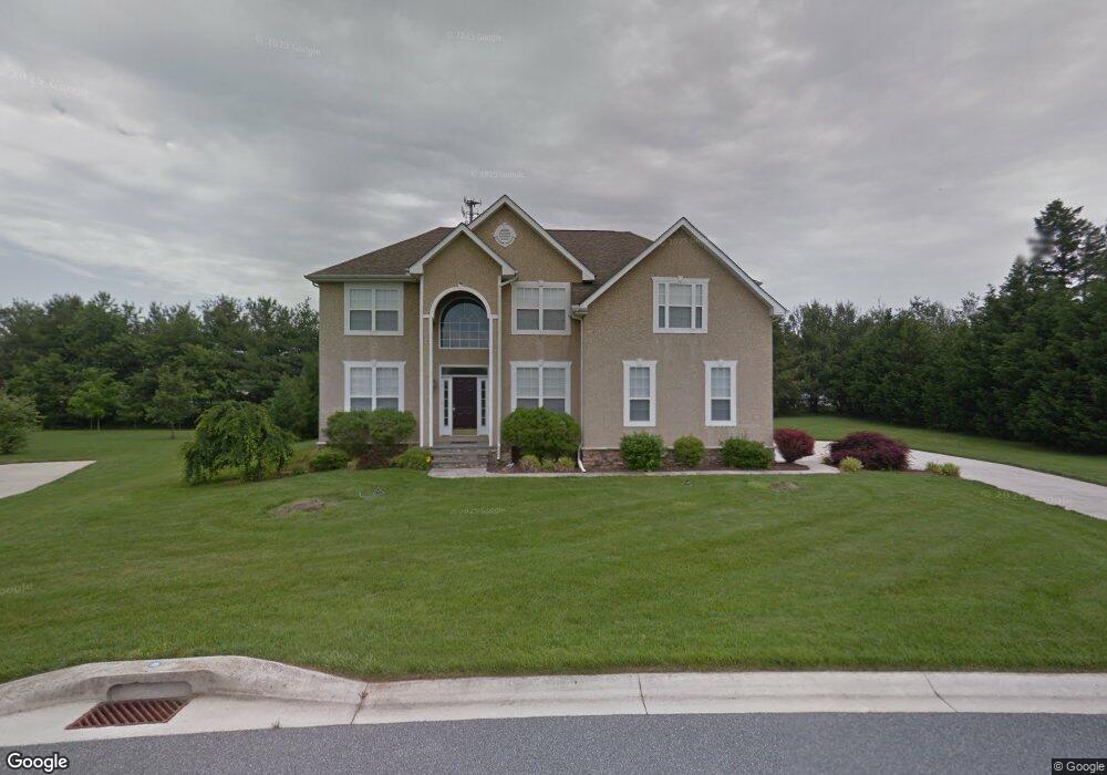
92 Exchange Dr Camden Wyoming, DE 19934
Rising Sun-Lebanon NeighborhoodEstimated Value: $548,000 - $627,000
4
Beds
3
Baths
3,795
Sq Ft
$152/Sq Ft
Est. Value
About This Home
This home is located at 92 Exchange Dr, Camden Wyoming, DE 19934 and is currently estimated at $576,060, approximately $151 per square foot. 92 Exchange Dr is a home located in Kent County with nearby schools including Allen Frear Elementary School, F. Niel Postlethwait Middle School, and Caesar Rodney High School.
Ownership History
Date
Name
Owned For
Owner Type
Purchase Details
Closed on
Feb 9, 2007
Sold by
Moseder Melissa A
Bought by
Moseder Allen D
Current Estimated Value
Home Financials for this Owner
Home Financials are based on the most recent Mortgage that was taken out on this home.
Original Mortgage
$260,000
Interest Rate
6.23%
Mortgage Type
New Conventional
Create a Home Valuation Report for This Property
The Home Valuation Report is an in-depth analysis detailing your home's value as well as a comparison with similar homes in the area
Home Values in the Area
Average Home Value in this Area
Purchase History
| Date | Buyer | Sale Price | Title Company |
|---|---|---|---|
| Moseder Allen D | -- | None Available |
Source: Public Records
Mortgage History
| Date | Status | Borrower | Loan Amount |
|---|---|---|---|
| Closed | Moseder Allen D | $260,000 |
Source: Public Records
Tax History Compared to Growth
Tax History
| Year | Tax Paid | Tax Assessment Tax Assessment Total Assessment is a certain percentage of the fair market value that is determined by local assessors to be the total taxable value of land and additions on the property. | Land | Improvement |
|---|---|---|---|---|
| 2025 | $2,513 | $499,700 | $125,400 | $374,300 |
| 2024 | $2,513 | $499,700 | $125,400 | $374,300 |
| 2023 | $2,636 | $85,000 | $7,100 | $77,900 |
| 2022 | $2,495 | $85,000 | $7,100 | $77,900 |
| 2021 | $2,454 | $85,000 | $7,100 | $77,900 |
| 2020 | $2,403 | $85,000 | $7,100 | $77,900 |
| 2019 | $2,322 | $85,000 | $7,100 | $77,900 |
| 2018 | $2,257 | $85,000 | $7,100 | $77,900 |
| 2017 | $2,208 | $85,000 | $0 | $0 |
| 2016 | $2,101 | $85,000 | $0 | $0 |
| 2015 | $1,803 | $85,000 | $0 | $0 |
| 2014 | $1,821 | $85,000 | $0 | $0 |
Source: Public Records
Map
Nearby Homes
- 83 Homestead Dr
- 106 Steffens Blvd
- 55 Orchard Grove Ct
- 464 Orchard Grove Dr
- 580 Locust Grove Rd
- 3444 S State St
- 103 Osprey Ct
- 2043 Highland Ave
- 138 Cilento Dr
- 57 Sisal Way
- 45 Brookfield Dr
- 42 Brookfield Dr
- 139 Chase St
- 128 Jillian Ct
- 123 Candlewick Dr
- 38 Planters Run Ct
- 256 Headstart Ln
- LOT 102 AST King Henry Ct
- LOT 105 SYC Brookfield Dr
- Aster Plan at Brookfield
- 108 Exchange Dr
- 76 Exchange Dr
- 89 Exchange Dr
- 117 Exchange Dr
- 60 Exchange Dr
- 27 Pleasant Hill Dr
- 53 Pleasant Hill Dr
- 2502 S State St
- 38 Kingston Dr
- 32 Exchange Dr
- 89 Pleasant Hill Dr
- 25 Kingston Dr
- 2509 S State St
- 2506 S State St
- 109 Pleasant Hill Dr
- 54 Kingston Dr
- 235 Sorghum Mill Rd
- 63 Kingston Dr
- 30 Pleasant Hill Dr
- 54 Pleasant Hill Dr