92 Lonnie Wallace Ln Jayess, MS 39641
Estimated Value: $250,000 - $414,034
--
Bed
--
Bath
2,925
Sq Ft
$115/Sq Ft
Est. Value
About This Home
This home is located at 92 Lonnie Wallace Ln, Jayess, MS 39641 and is currently estimated at $337,509, approximately $115 per square foot. 92 Lonnie Wallace Ln is a home with nearby schools including Topeka Tilton Attendance Center and Lawrence County High School.
Ownership History
Date
Name
Owned For
Owner Type
Purchase Details
Closed on
Sep 2, 2014
Sold by
Jamie E Jamie E and Price Shellie
Bought by
Boyd Anthony Daryl and Boyd Jessica Morgan
Current Estimated Value
Home Financials for this Owner
Home Financials are based on the most recent Mortgage that was taken out on this home.
Original Mortgage
$275,500
Outstanding Balance
$210,773
Interest Rate
4.2%
Mortgage Type
New Conventional
Estimated Equity
$126,737
Create a Home Valuation Report for This Property
The Home Valuation Report is an in-depth analysis detailing your home's value as well as a comparison with similar homes in the area
Home Values in the Area
Average Home Value in this Area
Purchase History
| Date | Buyer | Sale Price | Title Company |
|---|---|---|---|
| Boyd Anthony Daryl | -- | -- |
Source: Public Records
Mortgage History
| Date | Status | Borrower | Loan Amount |
|---|---|---|---|
| Open | Boyd Anthony Daryl | $275,500 |
Source: Public Records
Tax History Compared to Growth
Tax History
| Year | Tax Paid | Tax Assessment Tax Assessment Total Assessment is a certain percentage of the fair market value that is determined by local assessors to be the total taxable value of land and additions on the property. | Land | Improvement |
|---|---|---|---|---|
| 2025 | $2,560 | $24,897 | $0 | $0 |
| 2024 | $2,560 | $22,573 | $0 | $0 |
| 2023 | $2,492 | $22,573 | $0 | $0 |
| 2022 | $2,481 | $22,573 | $0 | $0 |
| 2021 | $2,391 | $22,481 | $0 | $0 |
| 2020 | $2,356 | $22,186 | $0 | $0 |
| 2019 | $2,291 | $22,131 | $0 | $0 |
| 2018 | $2,255 | $22,147 | $0 | $0 |
| 2017 | $2,255 | $22,109 | $0 | $0 |
| 2016 | $2,243 | $22,010 | $0 | $0 |
| 2015 | $2,094 | $21,945 | $0 | $0 |
| 2014 | $2,094 | $21,945 | $0 | $0 |
Source: Public Records
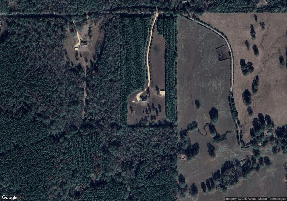
Map
Nearby Homes
- 23 Topeka Jayess Rd
- 182 Hwy 44
- 118 Laetrell Sanders Rd
- 480 Woody Rd
- 722 Holmesville Rd
- 163 Reid Givens Rd
- 11 Margie King Ln
- 22 Campbell Rd
- 0 Highway 44 Unit LotWP001
- 182 Highway 44
- TBD Ard Trail SE
- 000 Gunnell Rd
- 29 Gunnell Rd
- 000 Sauls Rd
- 294 China Grove Rd
- 7 Willie Roberts Rd
- 0 Hwy 583 N Unit LotWP001 19718421
- 0 Hwy 583 N Unit LotWP001 19718422
- 0 Hwy 583 N Unit LotWP001 19872463
- 325 Beartown Rd
- 58 Lonnie Wallace Ln
- 183 Lonnie Wallace Ln
- 20 Lonnie Wallace Ln
- 76 Hebert Ln
- 302 Jayess Topeka Rd
- 432 Topeka Jayess Rd
- 417 Topeka Jayess Rd
- 1009 Highway 44
- 450 Topeka Jayess Rd
- 338 Topeka Jayess Rd
- 431 Topeka
- 437 Topeka Jayess Rd
- 358 Topeka Jayess Rd
- 445 Topeka Jayess Rd
- 973 Highway 44
- 1046 Highway 44
- 518 Topeka Jayess Rd
- 337 Topeka Jayess Rd
- 1080 Highway 44
- 1080 Mississippi 44