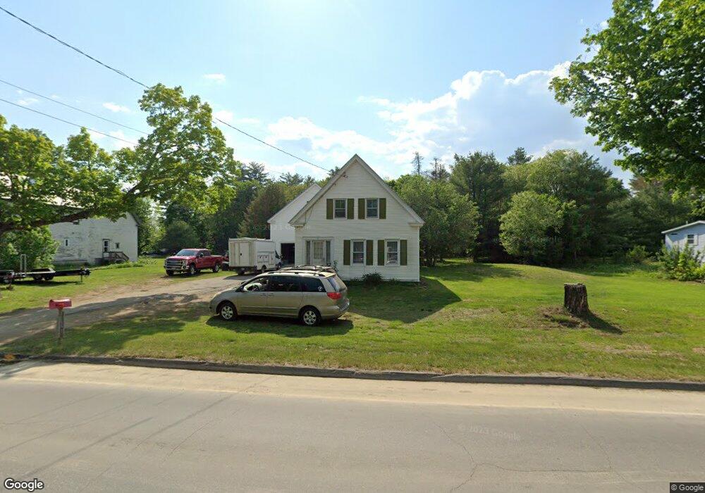
92 N Main St Strong, ME 04983
Estimated Value: $137,000 - $266,000
4
Beds
1
Bath
720
Sq Ft
$262/Sq Ft
Est. Value
About This Home
This home is located at 92 N Main St, Strong, ME 04983 and is currently estimated at $188,795, approximately $262 per square foot. 92 N Main St is a home located in Franklin County with nearby schools including Mt. Abram Regional High School.
Create a Home Valuation Report for This Property
The Home Valuation Report is an in-depth analysis detailing your home's value as well as a comparison with similar homes in the area
Tax History
We collect this data history from publicly available records. To have your information removed, we recommend requesting removal directly through your county’s website.
| Year | Tax Paid | Tax Assessment Tax Assessment Total Assessment is a certain percentage of the fair market value that is determined by local assessors to be the total taxable value of land and additions on the property. | Land | Improvement |
|---|---|---|---|---|
| 2025 | $1,832 | $95,910 | $25,180 | $70,730 |
| 2024 | $1,688 | $95,910 | $25,180 | $70,730 |
| 2023 | $1,535 | $95,910 | $25,180 | $70,730 |
| 2022 | $1,515 | $95,910 | $25,180 | $70,730 |
| 2021 | $1,583 | $95,910 | $25,180 | $70,730 |
| 2020 | $1,640 | $95,910 | $25,180 | $70,730 |
| 2019 | $1,707 | $95,910 | $25,180 | $70,730 |
| 2018 | $1,487 | $95,910 | $25,180 | $70,730 |
| 2017 | $1,381 | $95,910 | $25,180 | $70,730 |
| 2016 | $1,362 | $95,910 | $25,180 | $70,730 |
| 2015 | $1,410 | $95,910 | $25,180 | $70,730 |
| 2013 | $1,228 | $95,910 | $25,180 | $70,730 |
Source: Public Records
Map
Nearby Homes
- 12 Shady Ln
- 7 Mill St
- 29 River St
- 66 Farmington Rd
- 106 Montfort Dr
- R-5 13-A Norton Hill Rd
- 469 Norton Hill Rd
- MR11 L35 Burbank Hill Rd
- 43 Brookside Ln
- 414 Taylor Hill Rd
- 0 Mile Square Rd
- 4 Cousineaus Tory Hill Heights
- 97 Lake St
- MR7 L31&37 Taylor Hill Rd
- 488 Cook Hill Rd
- 866 S Strong Rd
- Lot 12 Barker Rd
- 32 Lake St
- 33 Lake St
- R6L38B New Vineyard Rd
Your Personal Tour Guide
Ask me questions while you tour the home.