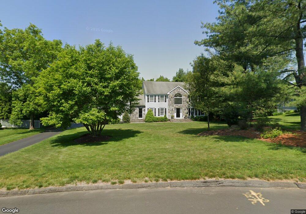
92 Range Rd Southport, CT 06890
Estimated Value: $2,060,608 - $2,100,000
4
Beds
4
Baths
4,189
Sq Ft
$496/Sq Ft
Est. Value
About This Home
This home is located at 92 Range Rd, Southport, CT 06890 and is currently estimated at $2,075,652, approximately $495 per square foot. 92 Range Rd is a home located in Fairfield County with nearby schools including Dwight Elementary School, Roger Ludlowe Middle School, and Fairfield Ludlowe High School.
Ownership History
Date
Name
Owned For
Owner Type
Purchase Details
Closed on
Aug 25, 2005
Sold by
Vipond J Robert and Vipond Maxine E
Bought by
Hanna Mark and Hanna Joanne
Current Estimated Value
Create a Home Valuation Report for This Property
The Home Valuation Report is an in-depth analysis detailing your home's value as well as a comparison with similar homes in the area
Home Values in the Area
Average Home Value in this Area
Purchase History
| Date | Buyer | Sale Price | Title Company |
|---|---|---|---|
| Hanna Mark | $1,499,999 | -- | |
| Hanna Mark | $1,499,999 | -- |
Source: Public Records
Mortgage History
| Date | Status | Borrower | Loan Amount |
|---|---|---|---|
| Open | Hanna Mark | $250,000 | |
| Closed | Hanna Mark | $125,000 |
Source: Public Records
Tax History Compared to Growth
Tax History
| Year | Tax Paid | Tax Assessment Tax Assessment Total Assessment is a certain percentage of the fair market value that is determined by local assessors to be the total taxable value of land and additions on the property. | Land | Improvement |
|---|---|---|---|---|
| 2025 | $21,515 | $757,820 | $315,840 | $441,980 |
| 2024 | $21,143 | $757,820 | $315,840 | $441,980 |
| 2023 | $20,848 | $757,820 | $315,840 | $441,980 |
| 2022 | $20,643 | $757,820 | $315,840 | $441,980 |
| 2021 | $20,446 | $757,820 | $315,840 | $441,980 |
| 2020 | $24,235 | $904,610 | $347,060 | $557,550 |
| 2019 | $24,235 | $904,610 | $347,060 | $557,550 |
| 2018 | $23,846 | $904,610 | $347,060 | $557,550 |
| 2017 | $23,357 | $904,610 | $347,060 | $557,550 |
| 2016 | $23,022 | $904,610 | $347,060 | $557,550 |
| 2015 | $22,604 | $911,820 | $367,850 | $543,970 |
| 2014 | $22,248 | $911,820 | $367,850 | $543,970 |
Source: Public Records
Map
Nearby Homes
- 260 Range Rd
- 1135 Hulls Farm Rd
- 1001 Hulls Farm Rd
- 1 Sturges Hwy Unit Lot 1
- 1 Sturges Hwy Unit 2
- 107 Old Rd
- 1 Coastal Ct
- 688 Hulls Farm Rd
- 56 Southport Woods Dr
- 153 Pease Ave
- 1135 Mill Hill Rd
- 844 Mill Hill Terrace
- 4 Jennings Ct
- 86 Old Rd
- 9 Sturges Commons
- 144 Lansdowne Unit 144
- 2 Elmwood Dr Unit 2
- 7 High Gate Rd
- 21 Sturges Commons
- 36 Maple Ave S