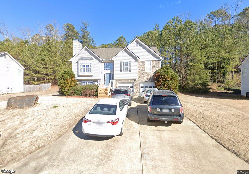
92 Stable Ln Dallas, GA 30132
East Paulding County NeighborhoodEstimated Value: $310,000 - $323,805
3
Beds
2
Baths
1,464
Sq Ft
$217/Sq Ft
Est. Value
About This Home
This home is located at 92 Stable Ln, Dallas, GA 30132 and is currently estimated at $317,201, approximately $216 per square foot. 92 Stable Ln is a home located in Paulding County with nearby schools including Northside Elementary School, Lena Mae Moses Middle School, and East Paulding High School.
Ownership History
Date
Name
Owned For
Owner Type
Purchase Details
Closed on
Jun 16, 2003
Sold by
Grace Ventures Inc
Bought by
Faria Candida M
Current Estimated Value
Home Financials for this Owner
Home Financials are based on the most recent Mortgage that was taken out on this home.
Original Mortgage
$139,750
Outstanding Balance
$60,239
Interest Rate
5.56%
Mortgage Type
FHA
Estimated Equity
$256,962
Create a Home Valuation Report for This Property
The Home Valuation Report is an in-depth analysis detailing your home's value as well as a comparison with similar homes in the area
Home Values in the Area
Average Home Value in this Area
Purchase History
| Date | Buyer | Sale Price | Title Company |
|---|---|---|---|
| Faria Candida M | $142,000 | -- |
Source: Public Records
Mortgage History
| Date | Status | Borrower | Loan Amount |
|---|---|---|---|
| Open | Faria Candida M | $139,750 |
Source: Public Records
Tax History Compared to Growth
Tax History
| Year | Tax Paid | Tax Assessment Tax Assessment Total Assessment is a certain percentage of the fair market value that is determined by local assessors to be the total taxable value of land and additions on the property. | Land | Improvement |
|---|---|---|---|---|
| 2024 | $3,044 | $125,612 | $12,000 | $113,612 |
| 2023 | $3,152 | $123,436 | $12,000 | $111,436 |
| 2022 | $2,663 | $104,028 | $12,000 | $92,028 |
| 2021 | $2,355 | $82,908 | $12,000 | $70,908 |
| 2020 | $2,195 | $75,760 | $12,000 | $63,760 |
| 2019 | $1,979 | $67,552 | $12,000 | $55,552 |
| 2018 | $1,789 | $61,240 | $12,000 | $49,240 |
| 2017 | $1,684 | $57,000 | $12,000 | $45,000 |
| 2016 | $1,558 | $53,400 | $12,000 | $41,400 |
| 2015 | $1,476 | $49,800 | $12,000 | $37,800 |
| 2014 | $1,202 | $39,944 | $12,000 | $27,944 |
| 2013 | -- | $34,400 | $12,000 | $22,400 |
Source: Public Records
Map
Nearby Homes
- 443 Brooks Rd
- 68 Wagon Trail Cir
- 181 Beckett Dr
- 70 Stallion Run
- 16 Riders Ridge
- 791 Brooks Rd
- 74 Riders Ridge
- The McGinnis Plan at Jones Ridge
- The Langford Plan at Jones Ridge
- The Ellijay Plan at Jones Ridge
- The Palmer Plan at Jones Ridge
- The James Plan at Jones Ridge
- The Lancaster Plan at Jones Ridge
- The Avery Plan at Jones Ridge
- 57 Saddle Brooke Dr
- 222 River Run Dr
- 222 River Run Dr Unit 82
- 214 River Run Dr
- 214 River Run Dr Unit 83
- 234 River Run Dr
- 76 Stable Ln
- 110 Stable Ln
- 0 Stable Ln Unit 3259768
- 0 Stable Ln Unit 7189864
- 0 Stable Ln Unit 8885561
- 0 Stable Ln Unit 8798513
- 0 Stable Ln Unit 8382876
- 0 Stable Ln Unit 8085138
- 0 Stable Ln Unit 7596546
- 0 Stable Ln Unit 7572554
- 0 Stable Ln Unit 2985182
- 0 Stable Ln Unit 3182255
- 0 Stable Ln
- 128 Stable Ln
- 227 Wagon Trail Cir
- 60 Stable Ln
- 81 Stable Ln
- 105 Stable Ln
- 53 Stable Ln
- 247 Wagon Trail Cir