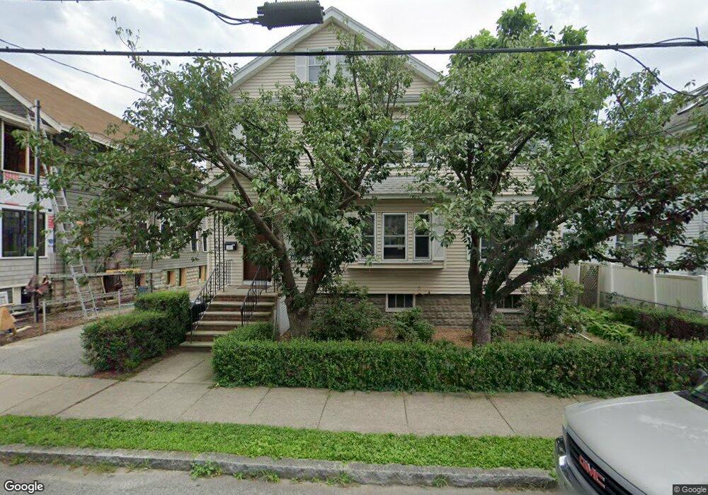
92 Varnum St Unit 94 Arlington, MA 02474
East Arlington NeighborhoodEstimated Value: $1,262,000 - $1,447,000
4
Beds
2
Baths
2,620
Sq Ft
$520/Sq Ft
Est. Value
About This Home
This home is located at 92 Varnum St Unit 94, Arlington, MA 02474 and is currently estimated at $1,363,186, approximately $520 per square foot. 92 Varnum St Unit 94 is a home located in Middlesex County with nearby schools including Hardy Elementary School, Ottoson Middle School, and Arlington High School.
Ownership History
Date
Name
Owned For
Owner Type
Purchase Details
Closed on
Jan 31, 2002
Sold by
Napoli Dennis and Napoli Diane J
Bought by
Mclaughlin Maura D and Ferrara Ryan J
Current Estimated Value
Home Financials for this Owner
Home Financials are based on the most recent Mortgage that was taken out on this home.
Original Mortgage
$394,900
Outstanding Balance
$164,325
Interest Rate
7.15%
Mortgage Type
Purchase Money Mortgage
Estimated Equity
$1,198,861
Purchase Details
Closed on
Sep 30, 1994
Sold by
Est Delorenzo Aurelia and Delorenzo Felicia M
Bought by
Napoli Dennis N and Napoli Diane J
Home Financials for this Owner
Home Financials are based on the most recent Mortgage that was taken out on this home.
Original Mortgage
$120,000
Interest Rate
8.5%
Mortgage Type
Purchase Money Mortgage
Create a Home Valuation Report for This Property
The Home Valuation Report is an in-depth analysis detailing your home's value as well as a comparison with similar homes in the area
Home Values in the Area
Average Home Value in this Area
Purchase History
| Date | Buyer | Sale Price | Title Company |
|---|---|---|---|
| Mclaughlin Maura D | $490,000 | -- | |
| Napoli Dennis N | $180,000 | -- | |
| Napoli Dennis N | $180,000 | -- |
Source: Public Records
Mortgage History
| Date | Status | Borrower | Loan Amount |
|---|---|---|---|
| Open | Mclaughlin Maura D | $394,900 | |
| Previous Owner | Napoli Dennis N | $120,000 | |
| Previous Owner | Napoli Dennis N | $120,000 |
Source: Public Records
Tax History Compared to Growth
Tax History
| Year | Tax Paid | Tax Assessment Tax Assessment Total Assessment is a certain percentage of the fair market value that is determined by local assessors to be the total taxable value of land and additions on the property. | Land | Improvement |
|---|---|---|---|---|
| 2025 | $12,653 | $1,174,800 | $594,600 | $580,200 |
| 2024 | $11,699 | $1,104,700 | $566,000 | $538,700 |
| 2023 | $11,810 | $1,053,500 | $474,500 | $579,000 |
| 2022 | $11,776 | $1,031,200 | $457,400 | $573,800 |
| 2021 | $11,396 | $1,004,900 | $457,400 | $547,500 |
| 2020 | $11,115 | $1,005,000 | $457,400 | $547,600 |
| 2019 | $10,028 | $890,600 | $486,000 | $404,600 |
| 2018 | $9,208 | $759,100 | $354,500 | $404,600 |
| 2017 | $7,956 | $633,400 | $308,700 | $324,700 |
| 2016 | $7,523 | $587,700 | $263,000 | $324,700 |
| 2015 | $7,387 | $545,200 | $257,300 | $287,900 |
Source: Public Records
Map
Nearby Homes
- 128 Thorndike St Unit 2
- 137-139 Thorndike St Unit 2
- 3 Seagrave Rd
- 215 Massachusetts Ave Unit 19 (34)
- 230 Massachusetts Ave Unit 6
- 31 Mott St Unit 31A
- 23 Brookford St
- 23 Brookford St Unit 2
- 23 Brookford St Unit 1
- 22 Hamilton Rd Unit 206
- 19 Cottage Park Ave
- 112 Jackson St
- 127 Harvey St
- 127 Harvey St Unit 127
- 124 Jackson St
- 57 Garrison Ave
- 34 Hamilton Rd Unit 302
- 49 Clifton St
- 18 Belknap St Unit 2
- 18 Belknap St Unit 1
- 90 Varnum St Unit 2
- 90 Varnum St Unit 90
- 96 Varnum St Unit 98
- 100 Varnum St Unit 100A
- 100 Varnum St Unit Floor 2
- 62 Herbert Rd
- 95 Varnum St
- 89 Varnum St Unit 91
- 87 Varnum St Unit 2
- 87 Varnum St Unit 87-1
- 102-104 Varnum St Unit 1
- 102 Varnum St Unit 1
- 102 Varnum St Unit 2
- 102 Varnum St Unit 104
- 102 Varnum St
- 102-104 Varnum St Unit 2
- 85 Varnum St Unit 2
- 85 Varnum St Unit 1
- 85 Varnum St Unit 85-1
- 104 Varnum St