Estimated Value: $251,000 - $305,000
5
Beds
3
Baths
2,814
Sq Ft
$98/Sq Ft
Est. Value
About This Home
This home is located at 920 63rd Ave NE, Minot, ND 58703 and is currently estimated at $276,136, approximately $98 per square foot. 920 63rd Ave NE is a home located in Ward County with nearby schools including Lewis & Clark Elementary School, Erik Ramstad Middle School, and Central Campus School.
Ownership History
Date
Name
Owned For
Owner Type
Purchase Details
Closed on
Jul 1, 2021
Sold by
Brunner Michael J and Brunner Cynthia L
Bought by
Long Jesse and Long Michelle
Current Estimated Value
Home Financials for this Owner
Home Financials are based on the most recent Mortgage that was taken out on this home.
Original Mortgage
$233,700
Outstanding Balance
$212,047
Interest Rate
2.9%
Mortgage Type
VA
Estimated Equity
$64,089
Create a Home Valuation Report for This Property
The Home Valuation Report is an in-depth analysis detailing your home's value as well as a comparison with similar homes in the area
Home Values in the Area
Average Home Value in this Area
Purchase History
| Date | Buyer | Sale Price | Title Company |
|---|---|---|---|
| Long Jesse | $235,000 | None Available |
Source: Public Records
Mortgage History
| Date | Status | Borrower | Loan Amount |
|---|---|---|---|
| Open | Long Jesse | $233,700 |
Source: Public Records
Tax History Compared to Growth
Tax History
| Year | Tax Paid | Tax Assessment Tax Assessment Total Assessment is a certain percentage of the fair market value that is determined by local assessors to be the total taxable value of land and additions on the property. | Land | Improvement |
|---|---|---|---|---|
| 2024 | $1,997 | $90,500 | $13,000 | $77,500 |
| 2023 | $2,115 | $96,000 | $13,000 | $83,000 |
| 2022 | $1,711 | $80,000 | $13,000 | $67,000 |
| 2021 | $1,382 | $69,500 | $13,000 | $56,500 |
| 2020 | $1,380 | $69,500 | $13,000 | $56,500 |
| 2019 | $1,366 | $68,000 | $11,000 | $57,000 |
| 2018 | $1,480 | $69,000 | $11,000 | $58,000 |
| 2017 | $1,463 | $72,500 | $11,000 | $61,500 |
| 2016 | $2,458 | $137,900 | $4,000 | $133,900 |
| 2015 | $2,053 | $137,900 | $0 | $0 |
| 2014 | $2,053 | $135,200 | $0 | $0 |
Source: Public Records
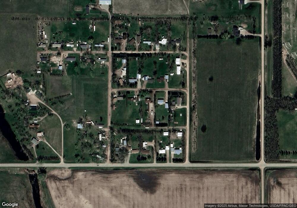
Map
Nearby Homes
- 1100 72nd Ave NE
- 201 45th Ave Unit 225 45th Ave. NE & T
- 4539 N Broadway
- 3425 8th St NE
- 38 Mulberry Loop NE
- 916 34th Ave NE
- 73 Olive Tree Cir NE
- 138 Mulberry Loop
- 134 Mulberry Loop
- 1505 30th Ave
- 3900 16th St NW
- 1401 35th Ave NW
- 2731 N Broadway
- 3304 14th St NW
- 3001 NE 27th St Unit Lot 3 Block 3
- 3001 NE 27th St Unit Lot 1 Block 1
- 3001 NE 27th St
- 0 NW Corner 4th Ave and 27th St Unit 240530
- 3212 Kodiak St NW
- 3401 15th St NW
- 1000 63rd Ave NE
- 910 63rd Ave NE
- 921 63rd Ave NE
- 900 63rd Ave NE
- 6221 11th St NE
- 1001 63rd Ave NE
- 1001 63rd Ave NE Unit Battle Ground Additi
- 911 63rd Ave NE
- 1001 62nd Ave NE
- 911 62nd Ave NE
- 6300 9th St NE
- 1011 62nd Ave NE
- 901 62nd Ave NE
- 6311 11th St NE
- 6201 9th St NE Unit Lot 32
- 921 64th Ave NE
- 911 64th Ave NE
- 1001 64th Ave NE
- 1011 64th Ave NE
- 810 64th Ave NE