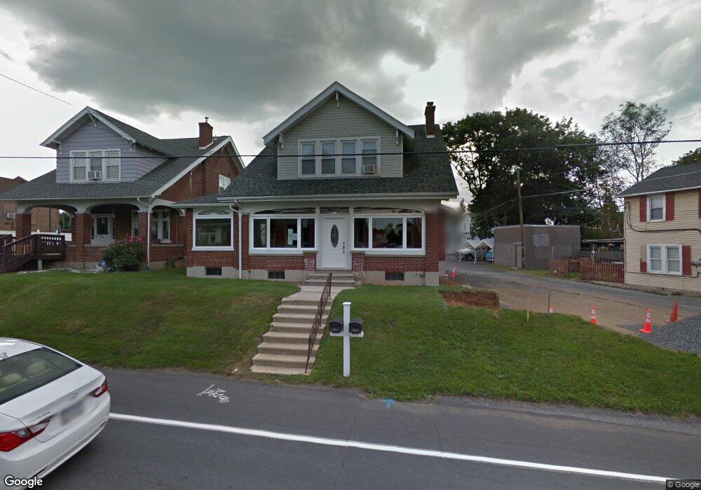
920 Brookside Rd Allentown, PA 18106
Estimated Value: $423,886 - $507,000
3
Beds
3
Baths
2,367
Sq Ft
$201/Sq Ft
Est. Value
About This Home
This home is located at 920 Brookside Rd, Allentown, PA 18106 and is currently estimated at $475,972, approximately $201 per square foot. 920 Brookside Rd is a home located in Lehigh County with nearby schools including Wescosville Elementary School, Lower Macungie Middle School, and Emmaus High School.
Ownership History
Date
Name
Owned For
Owner Type
Purchase Details
Closed on
May 2, 2016
Sold by
Friedman Marc and Friedman Michele L
Bought by
Friedman Michele L
Current Estimated Value
Home Financials for this Owner
Home Financials are based on the most recent Mortgage that was taken out on this home.
Original Mortgage
$54,100
Outstanding Balance
$43,165
Interest Rate
3.73%
Mortgage Type
New Conventional
Estimated Equity
$432,807
Purchase Details
Closed on
Apr 29, 2008
Sold by
Schmoyer Thomas E
Bought by
Friedman Marc
Home Financials for this Owner
Home Financials are based on the most recent Mortgage that was taken out on this home.
Original Mortgage
$180,000
Outstanding Balance
$114,647
Interest Rate
5.99%
Mortgage Type
New Conventional
Estimated Equity
$361,325
Purchase Details
Closed on
Nov 26, 1979
Bought by
Schmoyer Thomas E
Create a Home Valuation Report for This Property
The Home Valuation Report is an in-depth analysis detailing your home's value as well as a comparison with similar homes in the area
Home Values in the Area
Average Home Value in this Area
Purchase History
| Date | Buyer | Sale Price | Title Company |
|---|---|---|---|
| Friedman Michele L | -- | Penntitle Co | |
| Friedman Marc | $110,000 | -- | |
| Schmoyer Thomas E | $68,500 | -- |
Source: Public Records
Mortgage History
| Date | Status | Borrower | Loan Amount |
|---|---|---|---|
| Open | Friedman Michele L | $54,100 | |
| Open | Friedman Marc | $180,000 |
Source: Public Records
Tax History
| Year | Tax Paid | Tax Assessment Tax Assessment Total Assessment is a certain percentage of the fair market value that is determined by local assessors to be the total taxable value of land and additions on the property. | Land | Improvement |
|---|---|---|---|---|
| 2025 | $6,839 | $267,900 | $33,600 | $234,300 |
| 2024 | $6,617 | $267,900 | $33,600 | $234,300 |
| 2023 | $6,485 | $267,900 | $33,600 | $234,300 |
| 2022 | $6,331 | $267,900 | $234,300 | $33,600 |
| 2021 | $6,197 | $267,900 | $33,600 | $234,300 |
| 2020 | $6,138 | $267,900 | $33,600 | $234,300 |
| 2019 | $6,033 | $267,900 | $33,600 | $234,300 |
| 2018 | $6,074 | $273,300 | $33,600 | $239,700 |
| 2017 | $5,968 | $273,300 | $33,600 | $239,700 |
| 2016 | -- | $273,300 | $33,600 | $239,700 |
| 2015 | -- | $273,300 | $33,600 | $239,700 |
| 2014 | -- | $273,300 | $33,600 | $239,700 |
Source: Public Records
Map
Nearby Homes
- 1049 Barnside Rd
- 997 Village Round Unit K
- 997K Village Round Unit 104K
- 1037 Village Round Unit L
- 4501 N Hedgerow Dr Unit 4
- 1270 Minesite Rd
- 1385 Brookside Rd
- 5619 Stonecroft Ln
- 5618 Wood Ln
- 1290 Country Club Rd
- 6126 Palomino Dr
- 5137 Schantz Rd Unit The Jackson
- 5137 Schantz Rd Unit The Kennedy
- 5137 Schantz Rd Unit The Roosevelt
- 5137 Schantz Rd Unit The Madison
- 5137 Schantz Rd Unit The Monroe
- 5137 Schantz Rd Unit The Jefferson
- 1190 Grange Rd Unit K5
- 226 Snapdragon Way
- 258 Milkweed Dr
- 908 Brookside Rd
- 928 Brookside Rd
- 928 Brookside Rd Unit 2
- 908 N Brookside Rd
- 892 Brookside Rd
- 898 Brookside Rd
- 896 Brookside Rd
- 886 Brookside Rd
- 884 Brookside Rd
- 923 Brookside Rd
- 888 Brookside Rd
- 915 Brookside Rd
- 909 Brookside Rd
- 949 Brookside Rd
- 874 Brookside Rd
- 905 Brookside Rd
- 890 Brookside Rd
- 938 Brookside Rd
- 965 Brookside Rd
- 868 Brookside Rd