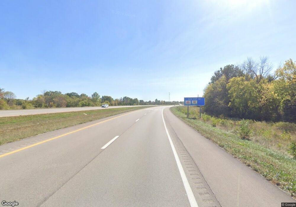
920 N Old Highway 71 Adrian, MO 64720
Estimated Value: $209,515 - $290,000
3
Beds
2
Baths
1,136
Sq Ft
$207/Sq Ft
Est. Value
About This Home
This home is located at 920 N Old Highway 71, Adrian, MO 64720 and is currently estimated at $235,129, approximately $206 per square foot. 920 N Old Highway 71 is a home located in Bates County with nearby schools including Adrian R-III Elementary School and Adrian R-III Middle/High School.
Ownership History
Date
Name
Owned For
Owner Type
Purchase Details
Closed on
Jun 27, 2018
Sold by
Rugg Jason and Rugg Jessica
Bought by
Mccunniff Ronald J and Zerbe Penny Y
Current Estimated Value
Home Financials for this Owner
Home Financials are based on the most recent Mortgage that was taken out on this home.
Original Mortgage
$65,000
Outstanding Balance
$37,900
Interest Rate
4.5%
Mortgage Type
Unknown
Estimated Equity
$197,229
Purchase Details
Closed on
Jul 20, 2009
Sold by
Larose James H
Bought by
Rugg Jason
Home Financials for this Owner
Home Financials are based on the most recent Mortgage that was taken out on this home.
Original Mortgage
$103,098
Interest Rate
5.39%
Mortgage Type
FHA
Create a Home Valuation Report for This Property
The Home Valuation Report is an in-depth analysis detailing your home's value as well as a comparison with similar homes in the area
Home Values in the Area
Average Home Value in this Area
Purchase History
| Date | Buyer | Sale Price | Title Company |
|---|---|---|---|
| Mccunniff Ronald J | -- | -- | |
| Rugg Jason | -- | None Available |
Source: Public Records
Mortgage History
| Date | Status | Borrower | Loan Amount |
|---|---|---|---|
| Open | Mccunniff Ronald J | $65,000 | |
| Previous Owner | Rugg Jason | $103,098 |
Source: Public Records
Tax History Compared to Growth
Tax History
| Year | Tax Paid | Tax Assessment Tax Assessment Total Assessment is a certain percentage of the fair market value that is determined by local assessors to be the total taxable value of land and additions on the property. | Land | Improvement |
|---|---|---|---|---|
| 2024 | $1,009 | $15,750 | $0 | $0 |
| 2023 | $1,010 | $15,750 | $0 | $0 |
| 2022 | $912 | $14,140 | $0 | $0 |
| 2021 | $881 | $14,140 | $0 | $0 |
| 2020 | $881 | $14,140 | $0 | $0 |
| 2019 | $880 | $14,140 | $0 | $0 |
| 2018 | $880 | $14,140 | $0 | $0 |
| 2017 | $866 | $14,140 | $0 | $0 |
| 2016 | $743 | $14,000 | $0 | $0 |
| 2015 | -- | $14,000 | $0 | $0 |
| 2013 | -- | $73,700 | $0 | $0 |
Source: Public Records
Map
Nearby Homes
- 717 N Houston St
- 220 E 7th St
- 604 N Kentucky St
- 725 N Kentucky Ave
- 520 E 2nd St
- 324 E 2nd St
- 320 E 2nd St
- 542 N West Lexington St
- Lot 4 NE Navajo Ln
- 618 N Bates Ave
- 13263A NE County Road 23 N A
- 35 W 3rd St
- 24 W 2nd St
- 120 W 3rd St
- 233 W 5th St
- 304 N Mulberry St
- 317 S Kentucky St
- 106 S Clark St
- 12448 NW Blackwood Dr
- 13685 NE County Road 353
- 930 N Old Highway 71
- 544 Pin Oak St
- 545 Pin Oak St
- 830 N Old Highway 71
- 805 N Old Highway 71
- 540 Pin Oak St
- 545 Plainview Dr
- 915 N Old Highway 71
- 546 Plainview Dr
- 803 N Old Highway 71
- 535 Pin Oak St
- 535 Plainview Dr
- 1001 N Old Highway 71
- 524 Pin Oak St
- 525 Plainview Dr
- 1004 N Old Highway 71
- 520 E 8th St
- 540 E 8th St
- 525 Pin Oak St
- 524 Plainview Dr
